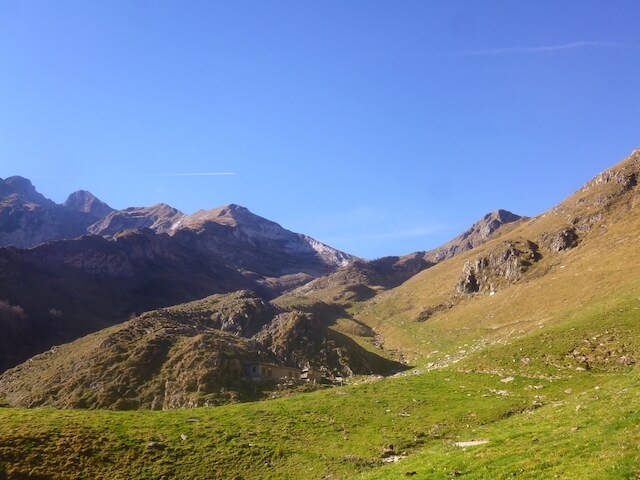
This hike goes to the Port de Salau at an altitude of 2087 meters. This mountain pass was already used in the Middle Ages by pilgrims to go to Santiago de Compostella. Later it was used by traders to Spain. On the pass you have a beautiful view of the Roca Blanca and Tuc de Bonabé on the Spanish side and on the French side of Mont Valier, Pic de Maubermé and Mont Rouch.
Distance: 17 km.
Time: 6h00.
Grade: Heavy.
Type: Back and forth.
Gps Track: Yes.
Route description: Yes.
Wheelchair: Not suitable.
Dog: Allowed.
Height gain: 1150 meters.
Trail: 100% unpaved.
Marking: White-Red.
Hiking shoes recommended.
Advertisement.
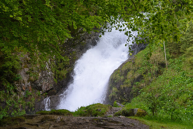
Cascade Léziou.
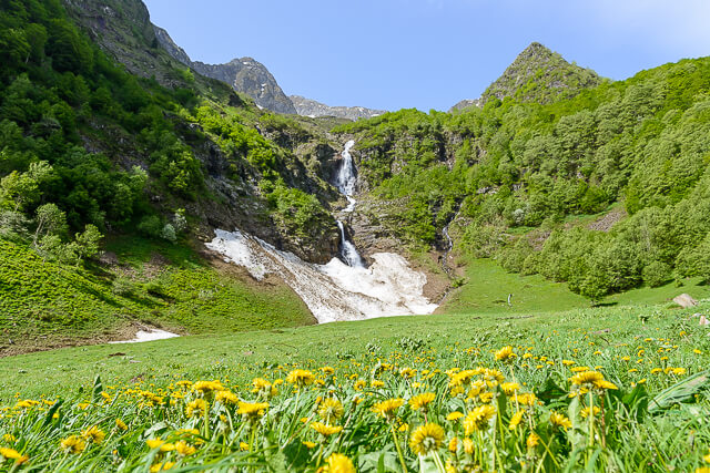
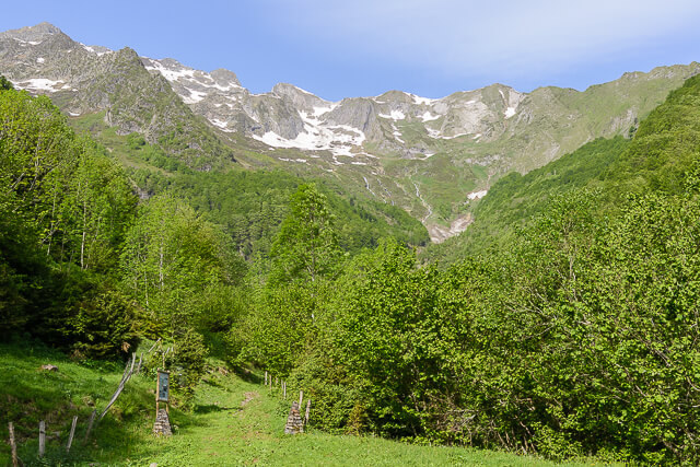
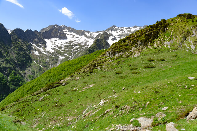
This walking route goes via a wide dirt road along the cascade Léziou. At the end of the paved road you climb through the Bois de la Grénade towards the Port de Salau. When you get out of the forest, the landscape changes completely and you get a nice impression of the high mountains. You will pass the restored Cabane de Pouill at an altitude of 1541 meters. After two series of hairpin bends you reach the col. You return to the starting point by the same route.
Download PDF for route description.
In the spring there may still be snow fields.
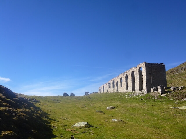
POI 3 - Ruins at the Port de Salau.
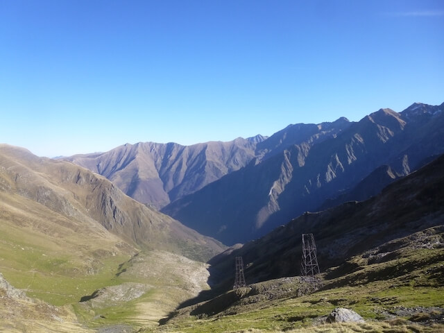
The ruins you see on the col are a remnant of a cable relay station that was used from 1903 to 1923 to transport tree trunks from the Bonabé forest in Spain to the paper mill in Salau. At the end of the 19th century, the company Matussière et Forest in Bonabé, in the Noguera Pallasera Valley, bought a pine plantation to supply its factory in Salau. This wood had to be transported over the Port de Salau. The destroyed pylons and buildings in the vicinity of Port de Salau are the remains of the installations used for this transport.
No additional information.