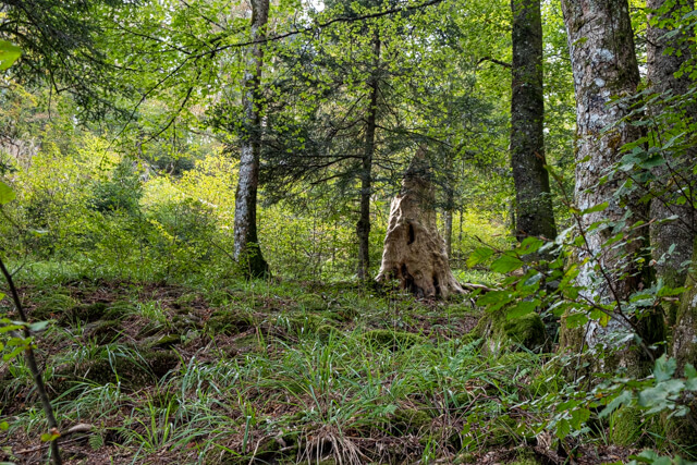
The walk takes you along the shore of the Lac de Longemer and then through a beautiful mixed forest towards the Col Des Faignes Sous Vologne. From the Col you walk to the Lac de Retournemer and the waterfall of Retournemer.
Distance: 11 km.
Time: 3h30.
Grade: Moderate.
Type: Circular.
Gps Track: Yes.
Route description: Yes.
Wheelchair: Not suitable.
Dog: Allowed.
Height gain: 346 meters.
Trail: 75% unpaved.
Marking: See PDF route description.
Hiking shoes recommended.
Advertisement.
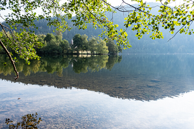
Lac de Longemer.
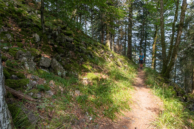
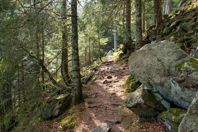
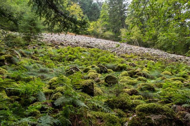
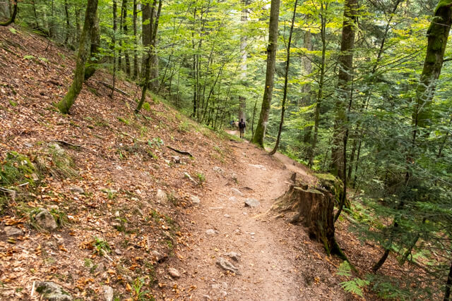
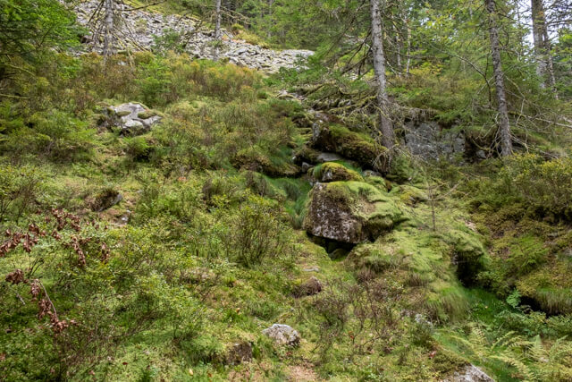
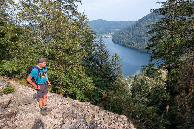
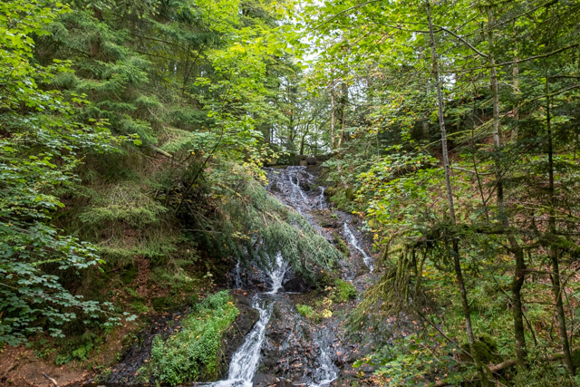
From the car park, follow the footpath next to the beautiful Lac de Longemer to the camping Les Jonquilles. Past the last building of the campsite, take the forest path that rises in the direction of the Col Des Faignes Sous Vologne. This path is quite rough and here and there you have to cross a debris field, a fallen tree or a secured passage. Follow this path until you come just before the Col Des Faignes Sous Vologne. Here you walk in the direction of the Lac de Retournemer. Just past the lake you can make a side jump and take a look at the waterfall of Retournemer. The Vologne falls a few meters down here. You now follow the course of the Vologne until you reach the Lac de Longemer again. Follow the shore of the lake to the starting point.
Download PDF for route description.