The walk takes you on a panoramic path around the Kastelberg and then descends through a very old deciduous forest to the Lac Altenweiher. From the lake you climb through the Kolbenwald to the Col Du Rainkopf to return along the other side of the Kastelberg.
Distance: 11 km.
Time: 3h30.
Grade: Moderate.
Type: Circular.
Gps Track: Yes.
Route description: Yes.
Wheelchair: Not suitable.
Dog: Allowed.
Height gain: 362 meters.
Trail: 100% unpaved.
Marking: See PDF route description.
Hiking shoes recommended.
Advertisement.
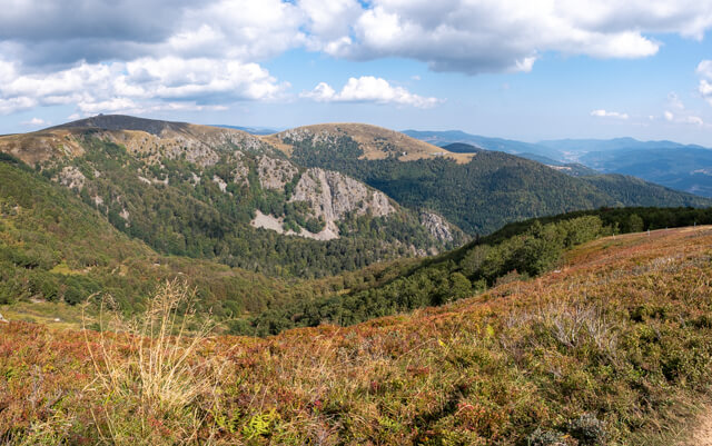
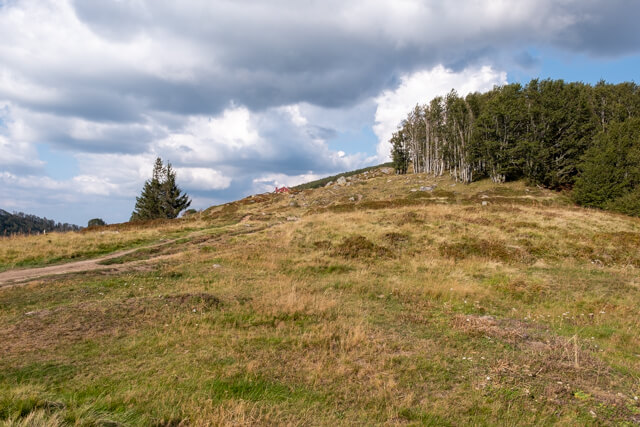
Kastelberg.
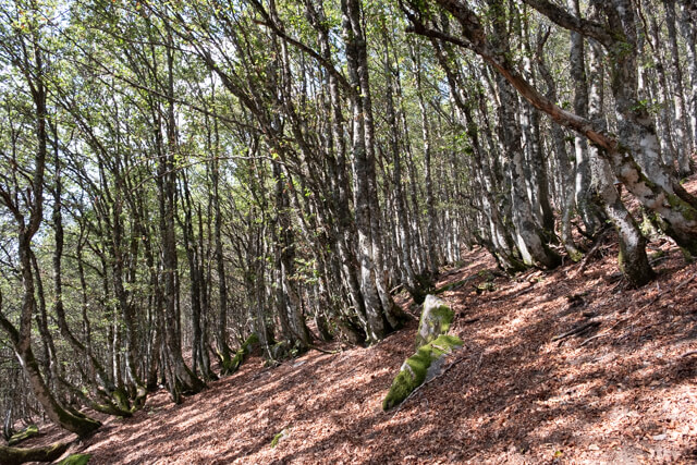
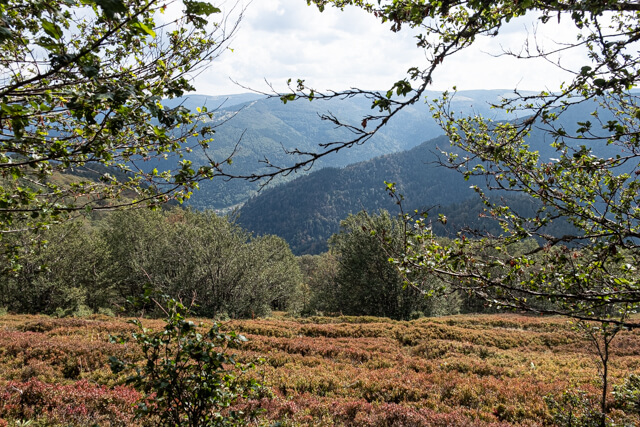
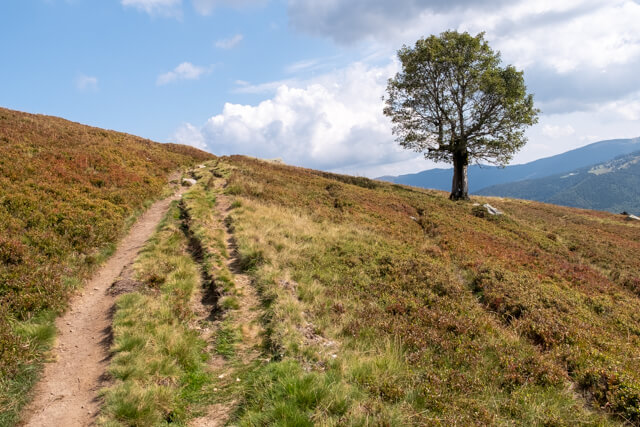
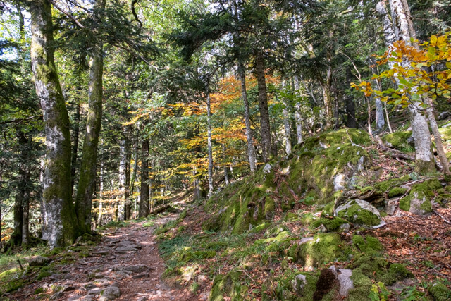
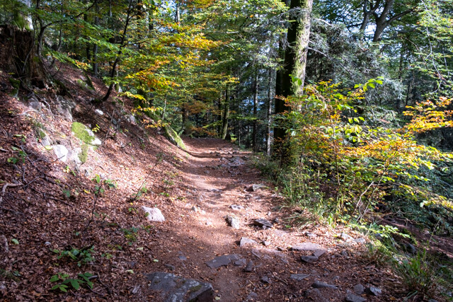
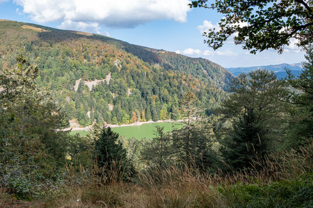
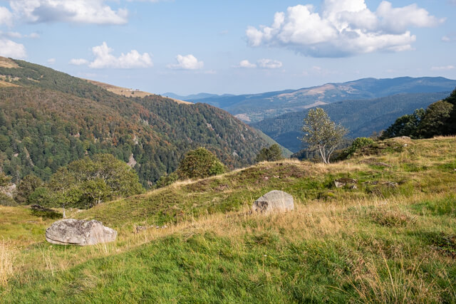
You leave from the parking lot and go over a cattle grid into a meadow, at the first intersection you turn right, again over a cattle grid. After about 150 meters you turn left and you arrive at the panorama path that you follow to the right. Behind you you will see the top of the Hohneck and left below the Wormsa forest. If you take this path very early in the morning you will almost certainly spot chamois grazing on the meadows and slopes. Follow the path to a turnstile, just behind the gate is a direction indicator. Here follow the direction of Lac Altenweiher. You go a little further through open terrain and cross the unpaved road Neuer Kastelberg Weg, which goes to the Ferme-Auberge Kastelberg. You quickly walk into the forest and start a long descent through hairpin bends. After the winding course you come to a viewpoint where you can see the lake for the first time. Then you walk parallel to the lake for a long time until the path curves to the right. At the lake you can choose to start the climb to the Col Du Rainkopf directly or to walk around the lake first. Follow the direction of Firstmiss to go to the Col Du Rainkopf. The tough climb first takes a few hairpin bends and you eventually arrive at a meadow called Pferrey. Now it is not far to the Col du Rainkopf. From the Col you will soon arrive at the Refuge Du Rainkopf. From the refuge you follow the GR to the Kastelbergwasen. To the right is the bare top of the Kastelberg. You go under a ski lift to return to the starting point.
Download PDF for route description.