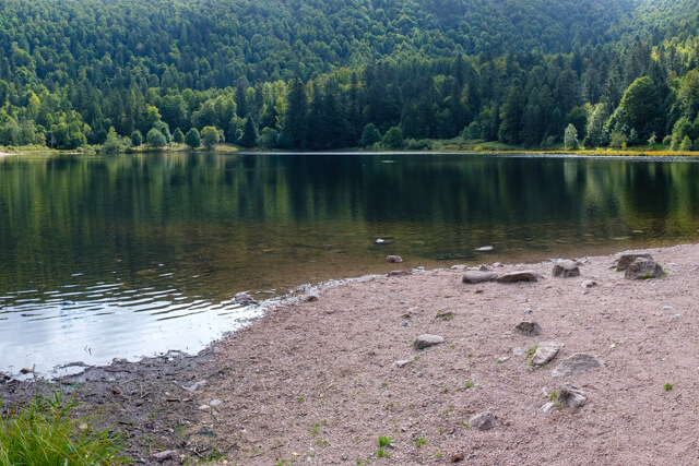
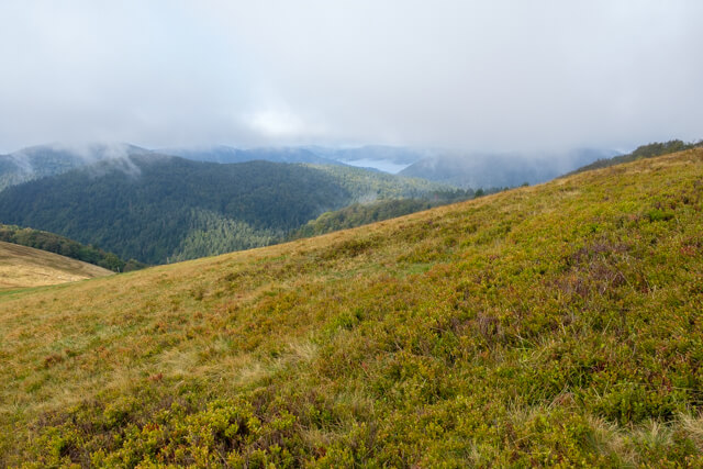
This walk goes from the beautiful Lac De Blanchemer to the top of the Rainkopf where you have a beautiful view of the High Vosges. The route then continues via the Maison De La Nature Du Rothenbach to the Tourbière De Machais peatland.
Distance: 10 km.
Time: 3h30.
Grade: Moderate.
Type: Circular.
Gps Track: Yes.
Route description: Yes.
Wheelchair: Not suitable.
Dog: Allowed.
Height gain: 550 meters.
Trail: 90% unpaved.
Marking: See PDF route description.
Hiking shoes recommended.
Advertisement.
Lac de Blanchemer.
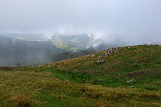
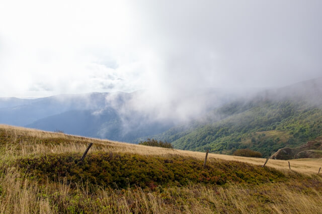
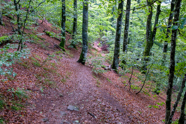
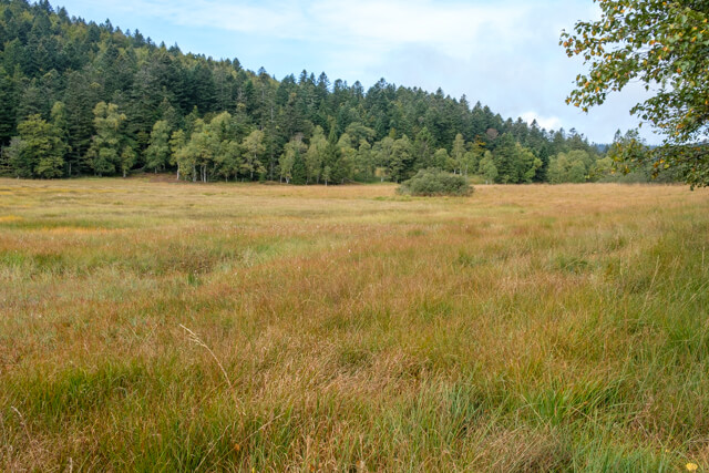
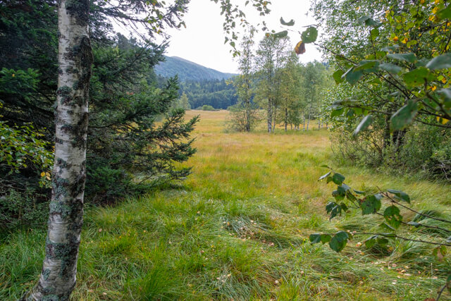
From the beautiful Lac De Blanchemer you walk through forest to the top of the Rainkopf at an altitude of 1305 meters. At the top you have a beautiful view of the ridges of the Vosges. At the Col Du Rothenbach you can visit the Maison De La Nature Du Rothenbach. You can often spot chamois on the meadows between the nature house and the forest. You descend on a beautiful forest path to the peat bogs of Machais. You walk back to the lake via the Chemin des Italiens.
Download PDf for route description.
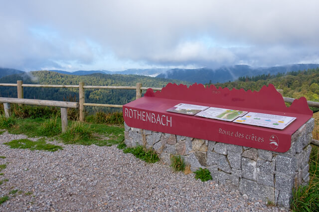
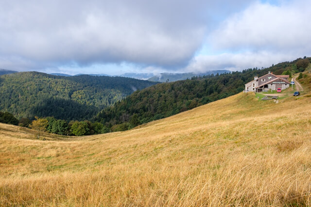
POI 3 - Maison De La Nature Du Rothenbach.
The nature house is uniquely situated on the flanks of the Rothenbach. During the season, the nature house can be visited freely and you can get acquainted with the rich fauna and flora of the Hautes Vosges. There is a room in the house with a fantastic view of the flanks of the Rothenbach from where you can often observe chamois.
CPIE des Hautes Vosges.
www.cpie-hautes-vosges.com