This beautiful walk follows a natural path through the rugged Frankenthal before the ascent to the beautiful view on the Hohneck begins.
Distance: 10 km.
Time: 4h00.
Grade: Moderate.
Type: Circular.
Gps Track: Yes.
Route description: Yes.
Wheelchair: Not suitable.
Dog: Not allowed.
Height gain: 501 meters.
Trail: 98% unpaved.
Marking: See PDF route description.
Hiking shoes recommended.
Advertisement.
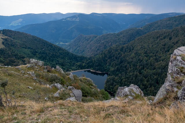
Frankenthal and Hohneck.
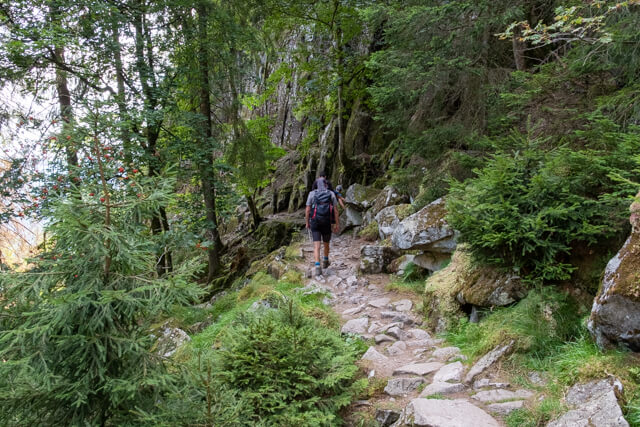
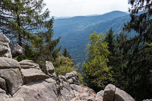
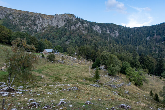
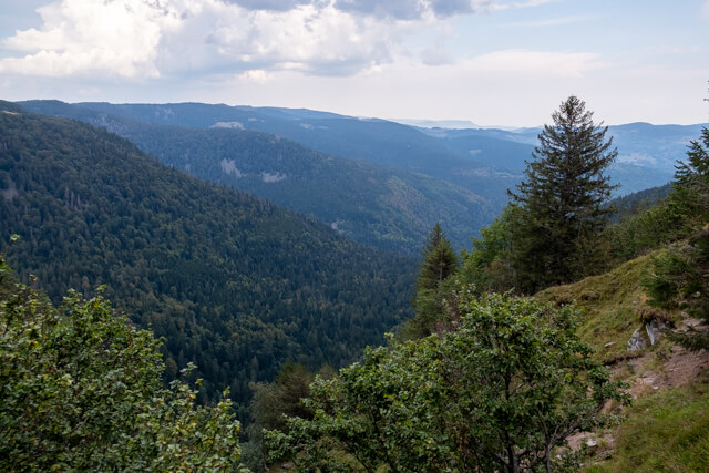
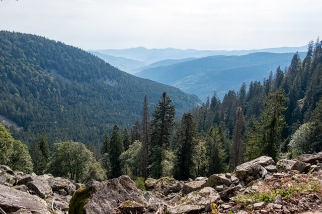
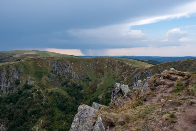
From the Col de la Schlucht down the road in the direction of Munster, until the path marked "Sentier des Roches" with a blue rectangle turns right. The path goes into the beech forest and is partly provided with railings, partly it continues over bridges over rocky terrain and along steep walls with natural vegetation. You will soon come to a viewing platform with table and bench. A little later you walk between boulders and you have to crawl under fallen trees. You pass a stream with waterfalls. the path continues until you reach a wide dirt road. Here you turn right and follow the dirt road to the Auberge Frankenthal. (you can also take the forest path diagonally to the right to cut off the wide bend that the dirt road takes). From the Auberge (Red triangle), a steep and winding path takes you in the direction of the Dagobert cave. (If you want to see the cave you have to deviate from the path back and forth). You keep climbing in the forest until you reach a more open terrain. Here you follow the path through the field to the saddle of the Col du Schaeferthal. The last part ascends over mountain meadows to the top of the Hohneck. From the Hohneck you follow the red rectangle to the Col de Falimont and from there along the Martinswand and the Source de la Vologne back to the Col de la Schlucht.

Download PDF for route description.
Not recommended for people with a fear of heights.