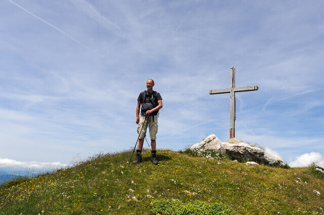
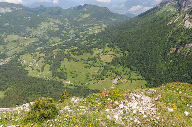
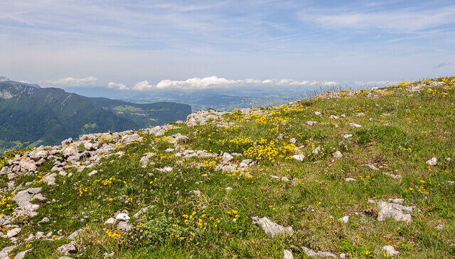
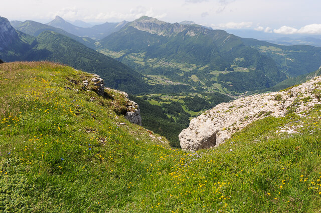
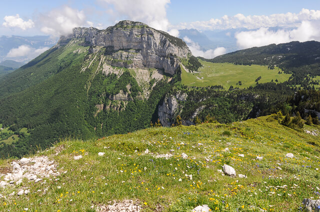
Near Mont Granier and on the south side of the Chartreuse massif lies the Pinet, also called "Le Truc". At the top you have a unique panorama of the main peaks of the Chartreuse such as Dent de Crolles, Chamechaude and Grand Som as well as of the Chaîne de Belledonne and the Mont-Blanc massif.
Distance: 9 km
Time: 4h30.
Grade: Heavy.
Type: Back and forth.
Gps Track: Yes.
Route description: Yes.
Wheelchair: Not suitable.
Dog: Allowed on leach.
Height gain: 750 meters.
Trail: 98% unpaved.
Marking: Partial White - Red | GR9.
Hiking shoes recommended.
Advertisement.
Le Truc.
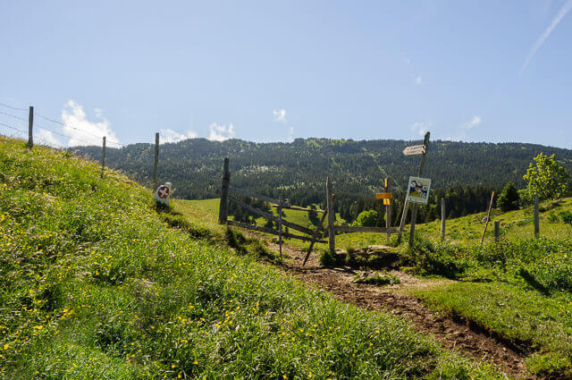
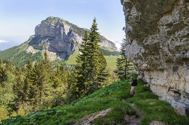
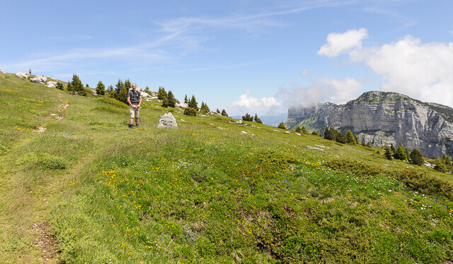
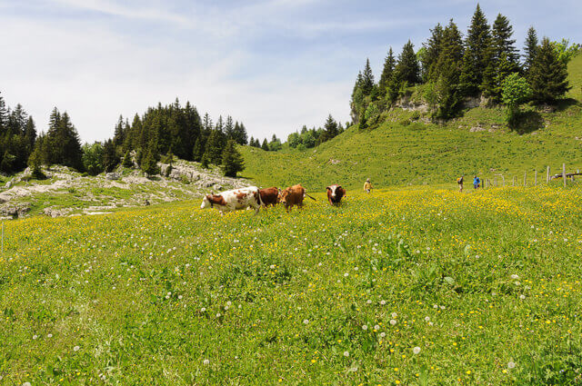
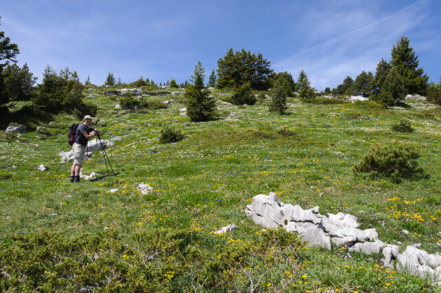
From the hamlet of La Plagne you follow the GR 9 through a deciduous forest to the Col de l'Alpette. From the pass it continues over beautiful alpine meadows to the Cabane de l'Alpette and refuge De l'Alpette. A shepherd lives in the cabane in the summer and takes care of 170 cows and 30 sheep. You can buy delicious cheeses from him. From the huts you walk a bit through the forest to a large cairn. Here you leave the GR9 and ascend through forest until you reach more open terrain. Along the way you have cliffs with lapiaz, large crevices in the rocks. Once on the plateau you can already see the cross on the top of Le Pinet. You return to the starting point via the same route.
Download PDF for route description and map.
Do not undertake when there are still snow fields.