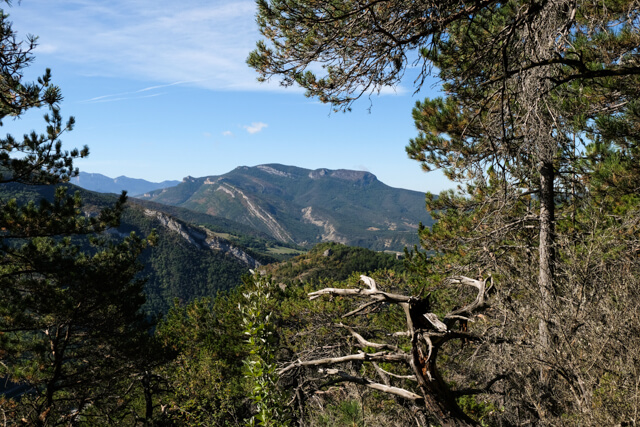
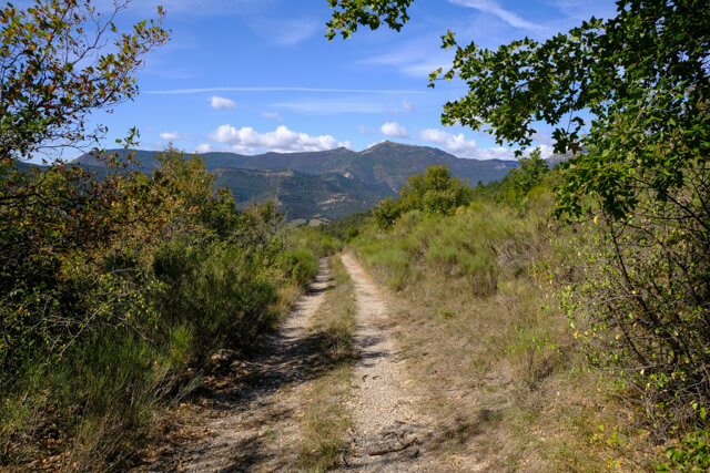
This hike first goes through beautiful La Sure valley and then through a pine forest to start a steep climb to the Crête de Ramiat. On the ridge you have a beautiful view of the Drôme valley and the Diois. You follow the ridge to Les Plaines. From this point you start the quiet descent with beautiful views of the Quint valley.
Distance: 13 km.
Time: 4h00.
Grade: Moderate.
Type: Circular.
Gps Track: Yes.
Route description: Yes.
Wheelchair: Not suitable.
Dog: Allowed.
Height gain: 632 meters.
Trail: Paved and unpaved.
Marking: Yellow-green stripe.
Hiking shoes recommended.
Advertisement.
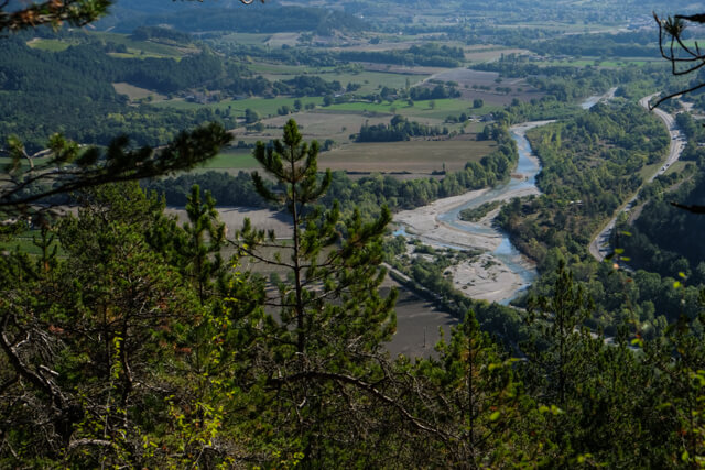
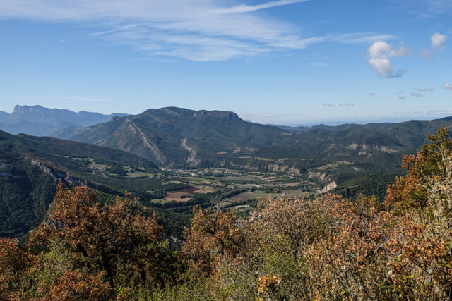
The Drôme valley.
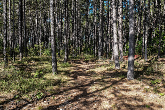
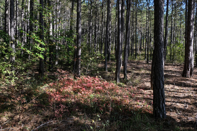
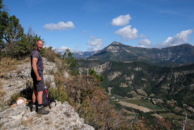
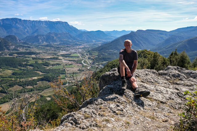
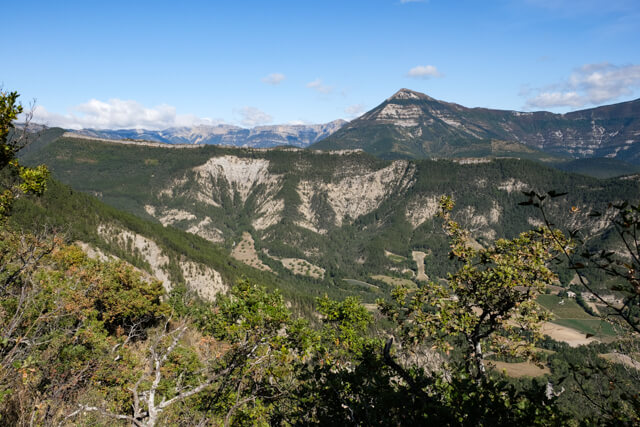
From the village you walk over the bridge of La Sûre and you follow the beautiful valley of this river, you go through the hamlet of Le Bourg and when you almost reach the valley of the Drôme you start a steep climb through a pine forest. The beautiful forest path goes via Pierre Plat and Combe Mare to the Crête de Ramiat. People with fear of heights can choose an alternative route here, see PDF route description. You now climb to the viewpoint from where you have a unique view of the Drôme valley. With here and there some hands and feet work, without it becoming dangerous, you follow the ridge until you arrive at more open terrain and finally reach the intersection of Les Plaines. From here you follow a wide dirt road to the WP7 junction. At this junction walk through a forest in the direction of Pallaire. If you have chosen the alternative route, follow the direction of Pallaire here as well. From the intersection at Palaire you walk further in the direction of the hamlet of L'Eguillot. Along the way you have beautiful views of the valley of Quint. From the hamlet you descend further via a wide dirt road to Sainte-Croix.
Download PDF for route description.
There is an alternative route for people with a fear of heights.
Do not undertake in bad or foggy weather.