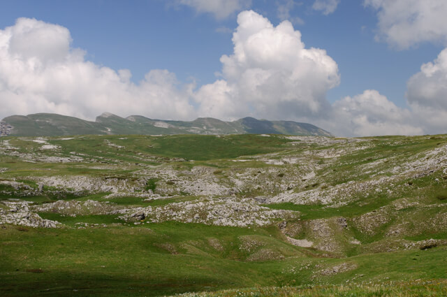
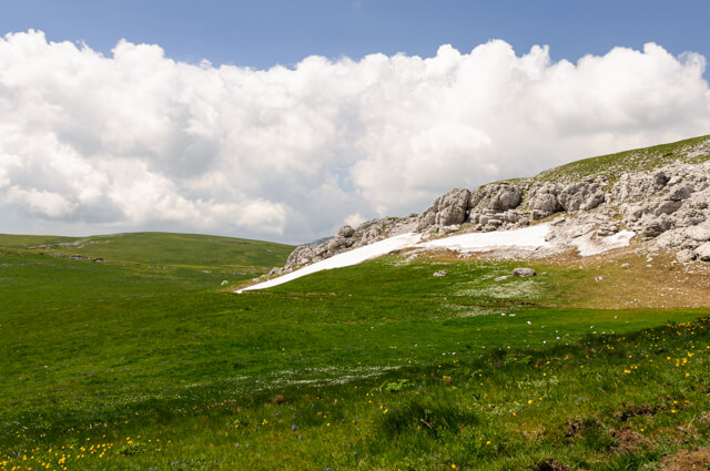
This walk goes over the beautiful Plateau de Font d'Urle to the Puy de la Gagère at an altitude of 1651m. Then you walk along the edge of the cliffs with beautiful views along the way to the hamlet of Font d'Urle. You return to the starting point via the GR93.
Distance: 14 km.
Time: 4h30.
Grade: Moderate.
Type: Circular.
Gps Track: Yes.
Route description: Yes.
Wheelchair: Not suitable.
Dog: Not allowed from May to October.
Height gain: 568 meters.
Trail: 99% unpaved.
Marking: See PDF route description.
Hiking shoes recommended.
Advertisement.
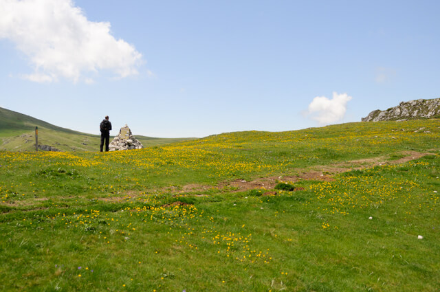
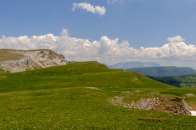
Puy de la Gagère.
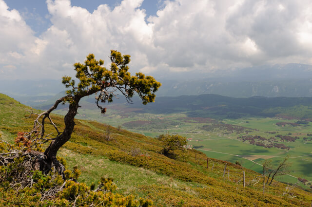
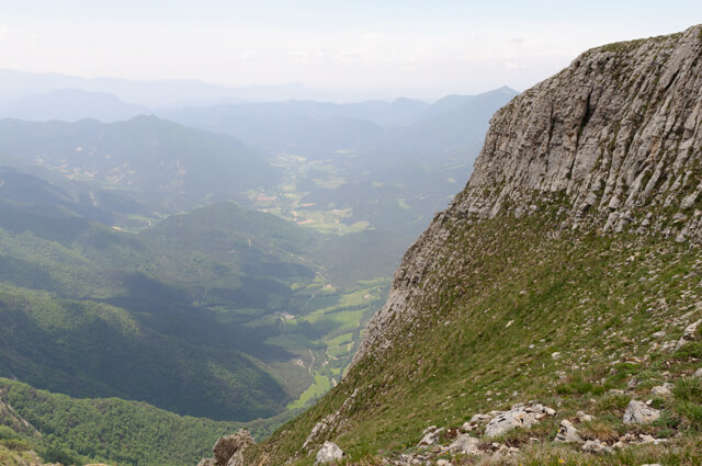
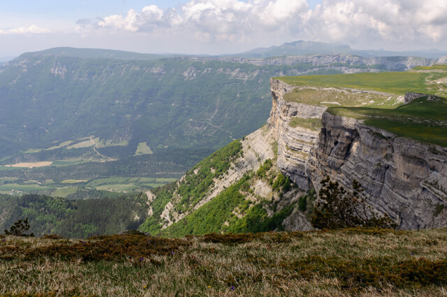
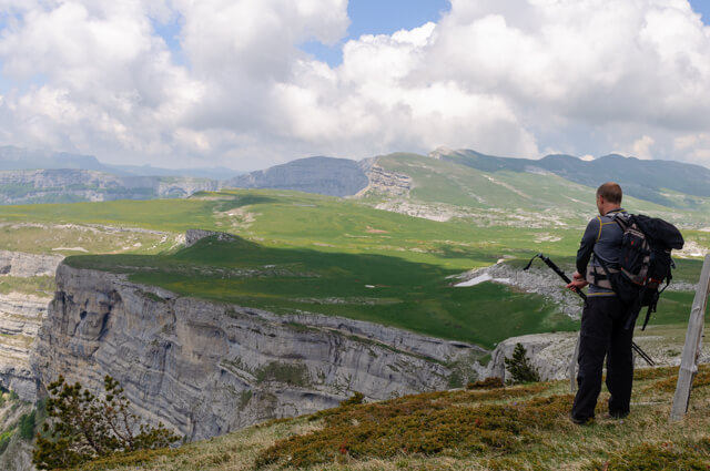
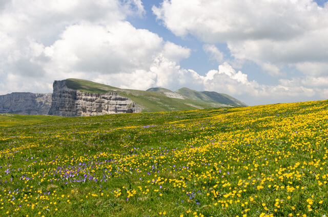
This trail starts via the parking of the Mémorial de la Résistance through the forest towards Pot de la Croix. As soon as we reach Pot de la Croix, we already get a first impression of the beautiful plateau of Font d'Urle. Via a piece of GR93 we walk towards Puy de la Gagère at an altitude of 1651m. From the Puy you have an impressive panorama. After a short detour we walk back and head towards the cliffs on the plateau. We follow the path between the edge of the cliffs and the 20-kilometer electrical tension that is to prevent the 600 sheep that graze on the plain during the season from collapsing into the abyss. At the edge of the cliffs we have a beautiful view of the valley of Quint. At the Porte d'Urle we arrive at a grazing meadow of the special horse breed "cheval de Provence" (June to September). From the Porte d'Urle we descend to the hamlet of Font d'Urle, a very modest ski resort. You can drink something here during the season. From Font d'Urle we walk back via the GR93 to Pot de la Croix to return through the forest to the starting point.
Download PDF for route description.
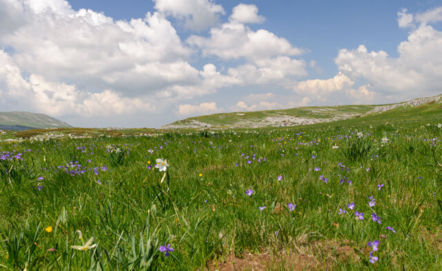
Picking flowers is prohibited.