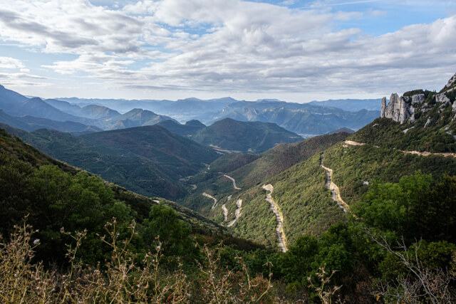
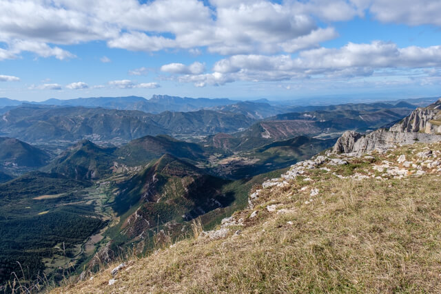
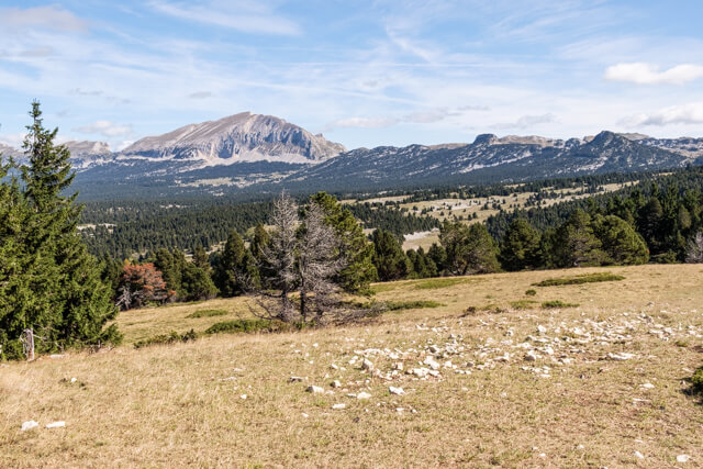
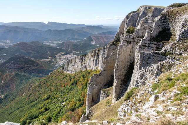
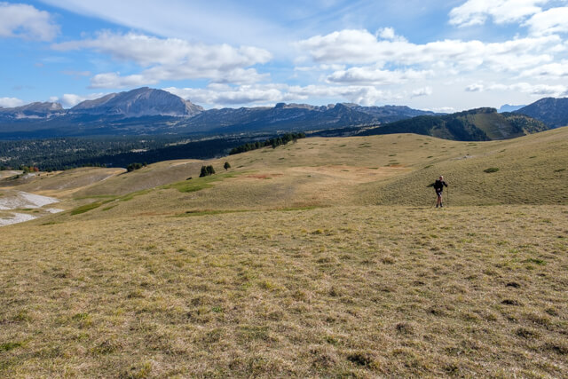
If you want to get to know Les Hauts Plateaux du Vercors, this walk is an absolute must. Via an oak forest you climb to the plateau of the Montagne de Beure. At the viewpoint you will be presented with a first impressive panorama, with the Grand Veymont as eye-catcher. Then you walk to the edge of the cliffs and get the most spectacular views of the Glandasse, the Diois region and peaks of the Vercors. At a last viewpoint you get a nice view of the Col de Rousset before you descend back to the starting point.
Distance: 9 km.
Time: 3h00.
Grade: Easy.
Type: Circular.
Gps Track: Yes.
Route description: Yes.
Wheelchair: Not suitable.
Dog: Allowed.
Height gain: 405 meters.
Trail: 99% unpaved.
Marking: See PDF route description.
Hiking shoes recommended.
Advertisement.
Les Hauts Plateaux du Vercors.
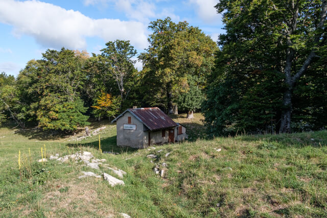
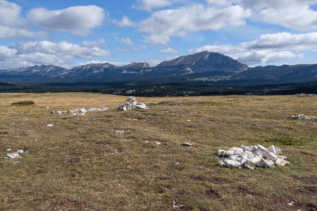
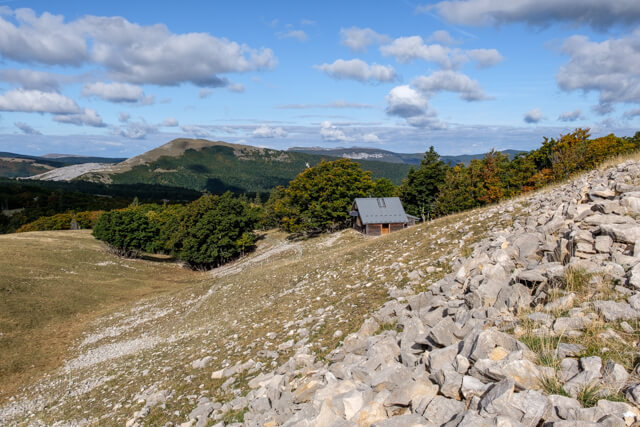
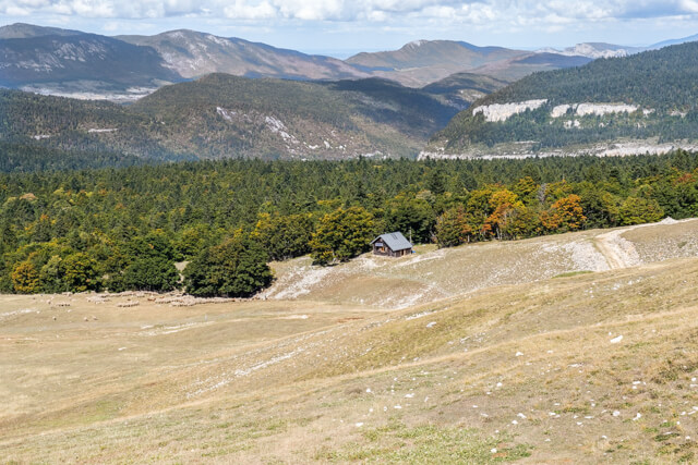
From the starting point you first walk through a wide dirt road through an oak forest in the direction of the Chalet des Ours. Once you get out of the forest you climb through alpine meadows to an information sign and viewpoint. Then you climb further to the carrefour du belvédère. Here you can choose to go directly in the direction of the Sapieu collet via the GR, but we have chosen to first climb all the way to the top of the plateau and follow the cliffs for a bit. After this detour you come back to the carrefour du belvédère and follow the GR93. You reach the edge of the plateau at Pas de l'Echelette. You follow the edge of the cliffs up to the But Sapiau ski lift. Here you descend to a last viewpoint with an orientation table at La Combe. From this point it goes back in the direction of the starting point.
Download PDF for route description.
Do not undertake in bad or foggy weather.
POI 1 - Hauts Plateaux du Vercors.
The Hauts Plateaux du Vercors is a plateau in the Vercors, a mountain region on the border of the French departments of Isère, Drôme and Hautes-Alpes. The plateau is 17,000 hectares and the average height is around 1500 m. The highest point is the Grand Veymont (2341 m). The plateau has been protected since 1985 as a nature reserve (Réserve Naturel des Hauts-Plateaux) which is part of the much larger Vercors Regional Nature Park. The plateau is known as the most uninhabited place in France. There are no villages or permanent residence and no paved roads within the boundaries of the reserve. It can only be reached on foot and traversed after an hour-long climb. It is therefore an attraction for GR walkers and nature lovers.
No additional information.