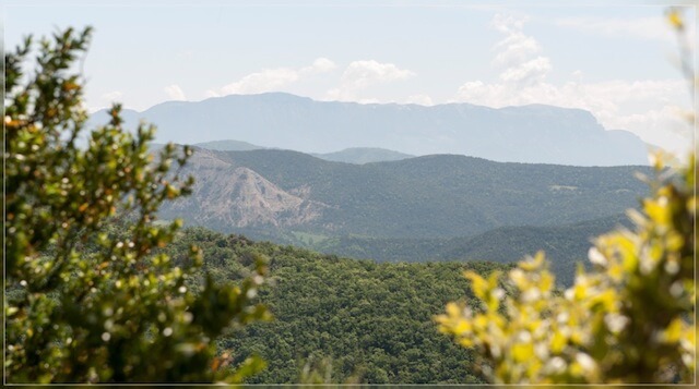
This adventurous gps walk goes from the hamlet of Plan-de-Baix at the foot of la Croix du Vellan to the banks of the Gervanne where you conquer the wilderness along old fishing paths. You cross the river 5 times along a Gue (crossing) to reach the impressive Chute de la Druise waterfall.
Distance: 12 km.
Time: 4h00.
Grade: Moderate.
Type: Circular.
Gps Track: Yes.
Route description: No.
Wheelchair: Not suitable.
Dog: Allowed.
Height gain: 565 meters.
Trail: Paved and unpaved.
Marking: None.
Hiking shoes recommended.
Advertisement.
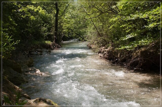
The Gervanne.
This adventurous journey goes from the hamlet of Plan-de-Baix at the foot of la Croix du Vellan to the banks of the Gervanne where you conquer the wilderness along old fishing paths. You cross the river 5 times along a Gue (crossing) to arrive at the impressive cascade de la Druise. This waterfall falls down from a height of 75 meters. From the waterfall you climb back from the valley to the hamlet of Ansage and follow the traffic-calmed road towards an old water mill, Moulin de la Pipe. Here you can take a break and then return via the hamlet of Le Vialaret to Plan-de-Baix.
Take a pair of water-resistant shoes or Tevas for the river crossing.
Never do this walk at high water levels or after heavy rainfall.
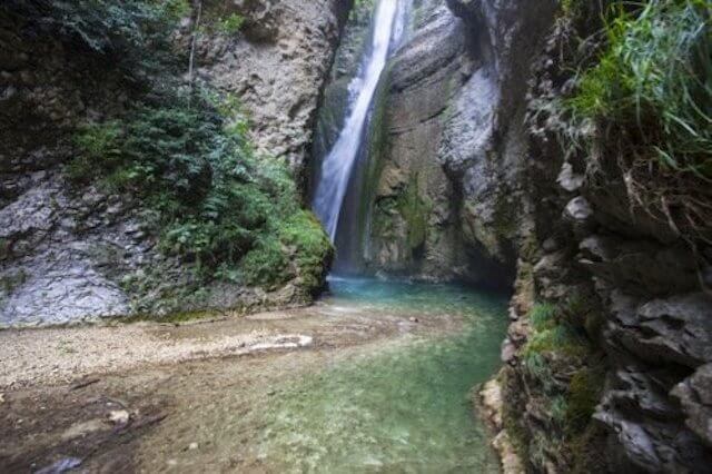
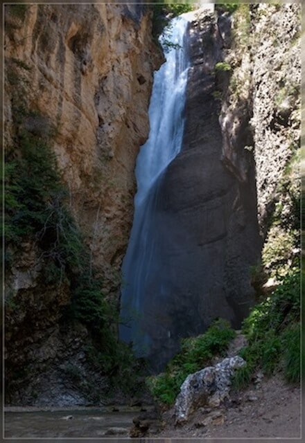
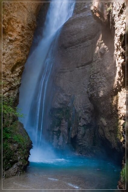
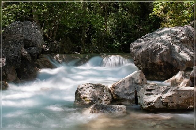
POI 1 - Chute de la Druise.
La Chute de la Druise is a large waterfall on the Gervanne River. It is located on the border of the municipalities of Omblèze and Plan-de-Baix in the south of the Vercors massif at the exit of the Gorges d ’Omblèze. With a height of 72 meters it is one of the most impressive waterfalls in the south of the Vercors.
No additional information.