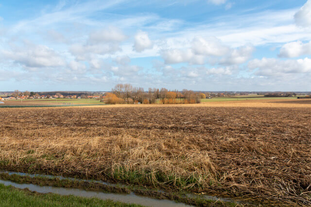
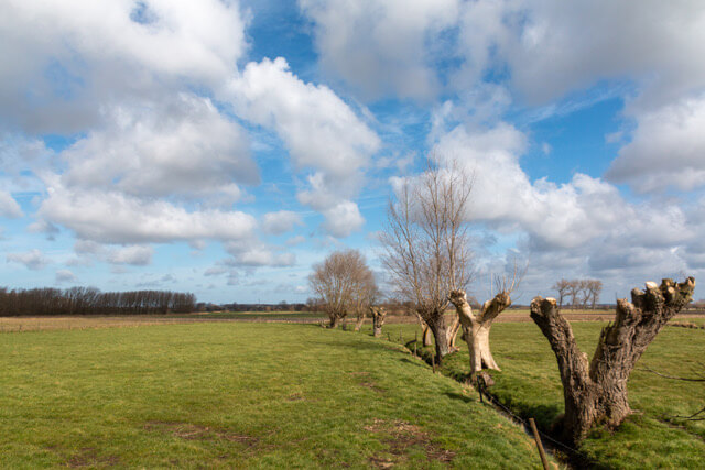
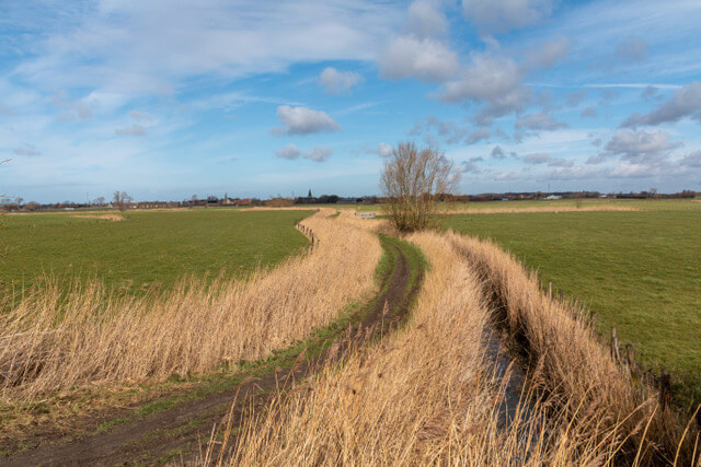
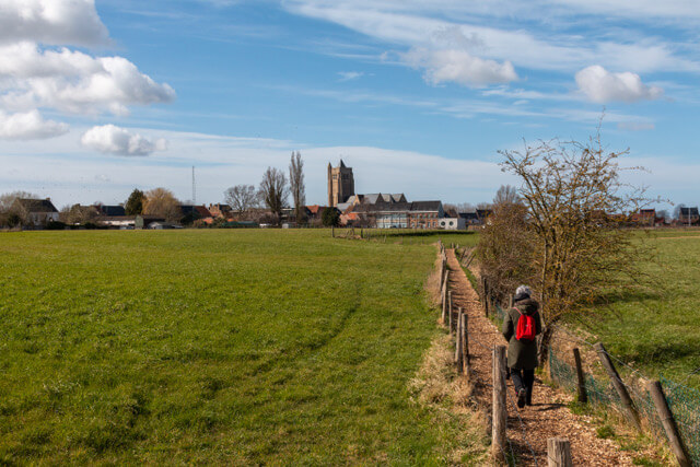
The Bethoosterse Broeken walk explores two completely different landscapes in the vicinity of Esen (Diksmuide). You first walk in the higher area, south of Esen, where you have beautiful panoramas over the Westhoek. Halfway through the route you arrive in the Bethoosterse Broeken, a side valley of the Yser plain. You walk along the Handzamevaart, among other things. The area consists of low-lying meadows and hay meadows and is home to a unique fauna and flora.
Distance: 9.2 km.
Time: 2h15.
Grade: Easy.
Type: Circular.
Gps Track: Yes.
Route description: No.
Wheelchair: Not suitable.
Dog: Allowed.
Height gain: No information.
Trail: Paved and unpaved.
Marking: Hexagon with green inscription.
Hiking shoes recommended.
Advertisement.
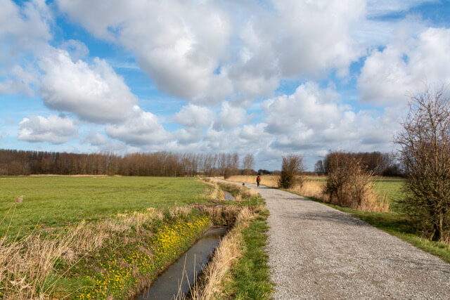
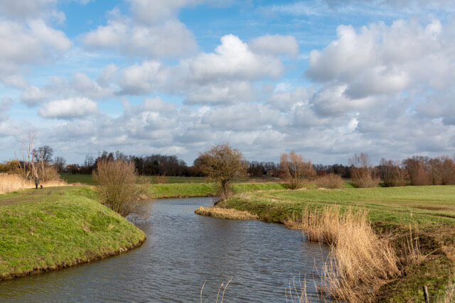
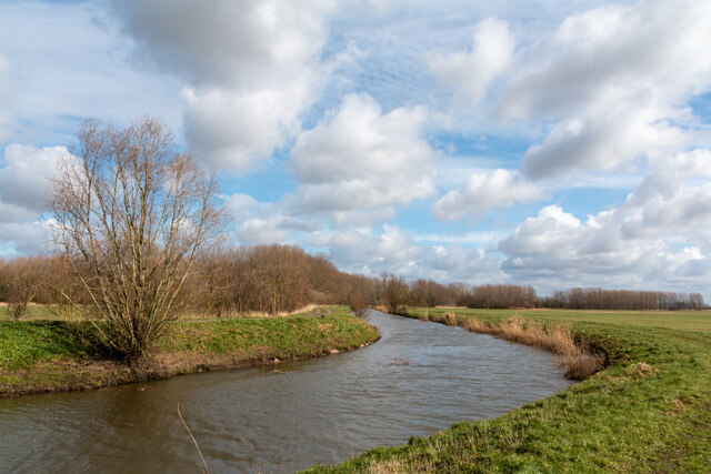
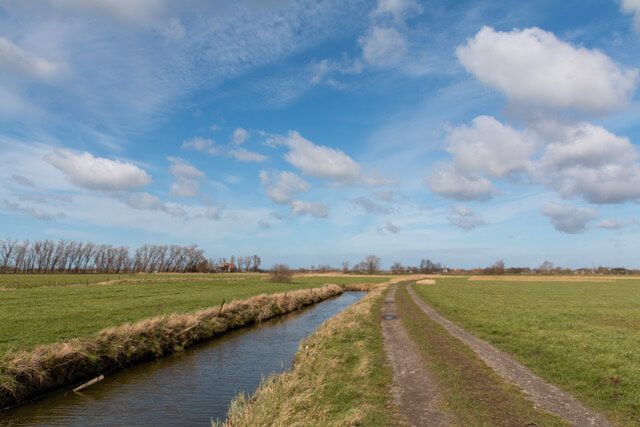
Handzamevaart.
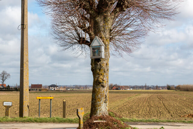
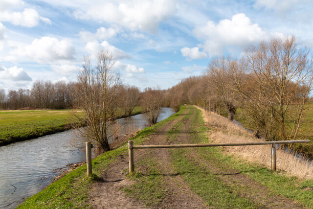
The walking route first heads south in the direction of the Hoge Kam, the highest point of Esen. Here you have a beautiful view of the area: the Yser valley, the Handzame valley and in the distance the Heuvelland. The route then descends through the Bethoosterse Broeken in the direction of Handzamevaart to the hamlet of Einsdijk. In the Middle Ages, there was a harbor here from where goods were shipped. Now there is nothing more to be seen of it. Then it continues on the grass path along the Handzamevaart. From the canal you walk back to the starting point. Another fun fact: Beth means 'further' and Broeken are 'floodable polders'. Bethoosterse Broeken are therefore the floodable polders in the most distant part east of the Yser plain.
There is a picnic table at the first bridge over the Handzamevaart.
POI 1 - Handzamevaart.
The opponents each built an impregnable defense line on both sides of the Yser. The development of German fortifications in and around Diksmuide required a continuous supply of goods via the Handzamevaart to the city. The long-lost port function of Einsdijk was given a bold successor as a war port. A large pioneer park was set up on the Einsdijk with a loading and unloading area for ships. Concrete, cement, building materials, ammunition, food supplies or fuels were brought from here across the water to the front. A kilometer-long wooden bridge, the Herzog Albrecht Brücke, connected the Einsdijk with the other bank of the flooded valley.
No additional information.