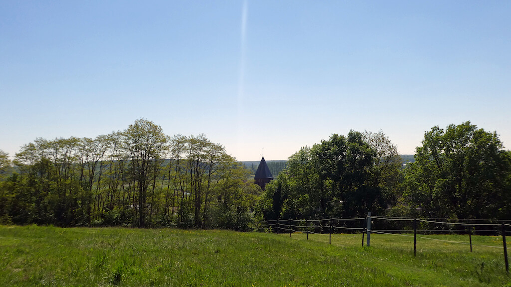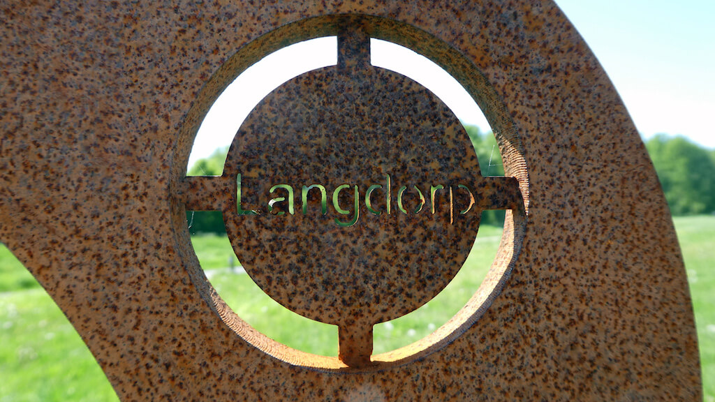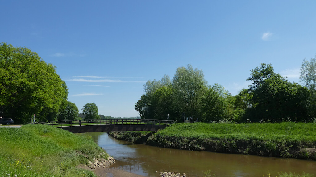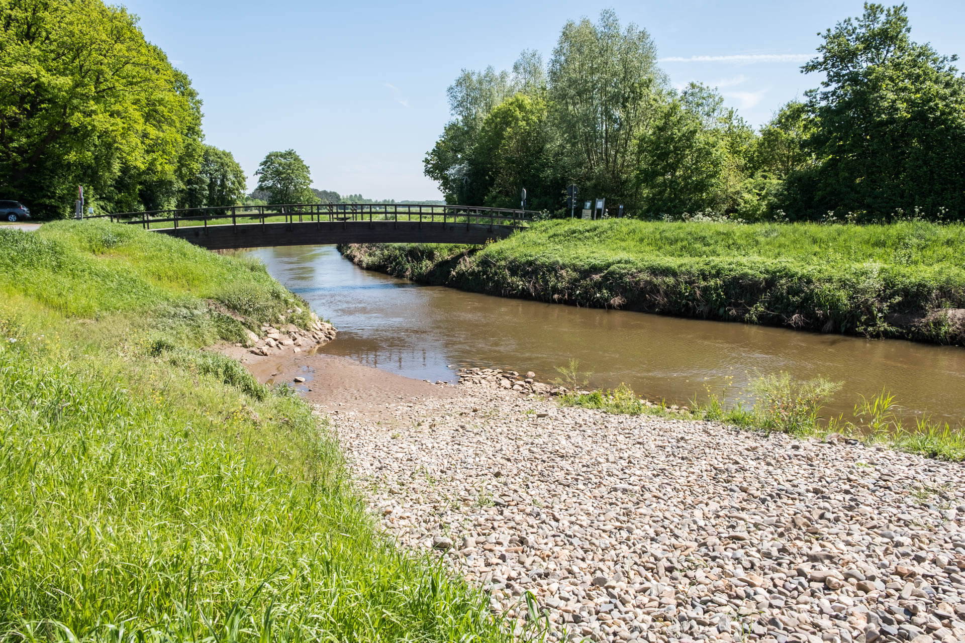
On the border of the Kempen and the Hageland lies the beautiful Demer valley, this nature walk goes from the Heimill, through forests at the picturesque village of Langdorp. Afterwards you follow the banks of the Demer river into the nature reserve Demerbroeken.
Distance: 14 km.
Time: 3h30.
Grade: Moderate.
Type: Circular.
Gps Track: Yes.
Route description: Yes.
Wheelchair: Not suitable.
Dog: Allowed.
Height gain: 145 meters.
Trail: 70% unpaved.
Marking: Walking nodes.
Hiking shoes recommended.
Advertisement.
Demerbroeken.
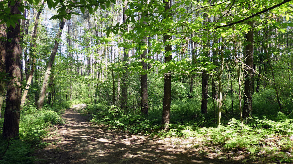
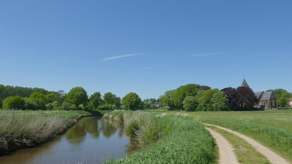
The walk leaves the Heimill and leads you via junctions of the Merode walking network through a mixture of forest paths and traffic-calmed roads to Langdorp. In this village on the Demer are some valuable buildings to see, the St. Peter's Church and the walled cemetery, the presbytery with the accompanying garden, the block with the old mansion of the village statutes and the town hall from 1860. Then you go the nature reserve Achter Schoonhoven, along the banks of the meandering Demer, by the Demerbroeken. If you leave the Demerbroeken it goes back through a wooded area towards the nature reserve Molenheide to reach the site of the Heimill.
Download PDf for nodes to follow.
In the Demer Valley you have to take cyclists into account.
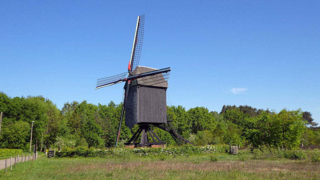
POI 1 - Heimill and Molenheide.
Since 1662, the Heimill has determined the landscape on the Oude Stok. After the last miller left the Heimill in 1958, the building quickly deteriorated. When Natuurpunt bought the Heimill in 1995, it had to be thoroughly rebuilt. De Heimill is a Brabant barmill with straight roof. The unique thing about this mill is that it has remained intact since its inception. The mill is freely accessible every second and fourth Sunday of the month from 10 am to 1 pm. From November to April the mill grinds when there is wind. He does not work from May to October. Molenheide: There used to be a vast heathland between the Hageland and the Zuiderkempen. Farmers used the top layer of the heath as a litter for their pot sheds. Afterwards, young heather plants germinated more easily. Now that typical old use has completely disappeared. The sand dunes and the poor sandy soils were planted with pines, leaving almost nothing of the open moorland. The small-scale park landscape of oak-birch-coppice groves, interspersed with open heather fields, fields and venues is a good home for many rare species. Butterflies such as heather blue, oak leaf and small fritillary are expanding. Hares and roe deer are permanent residents due to the large selection of herbs. There is a rich hunting ground for owls.
Natuurpunt.
www.natuurpunt.be.
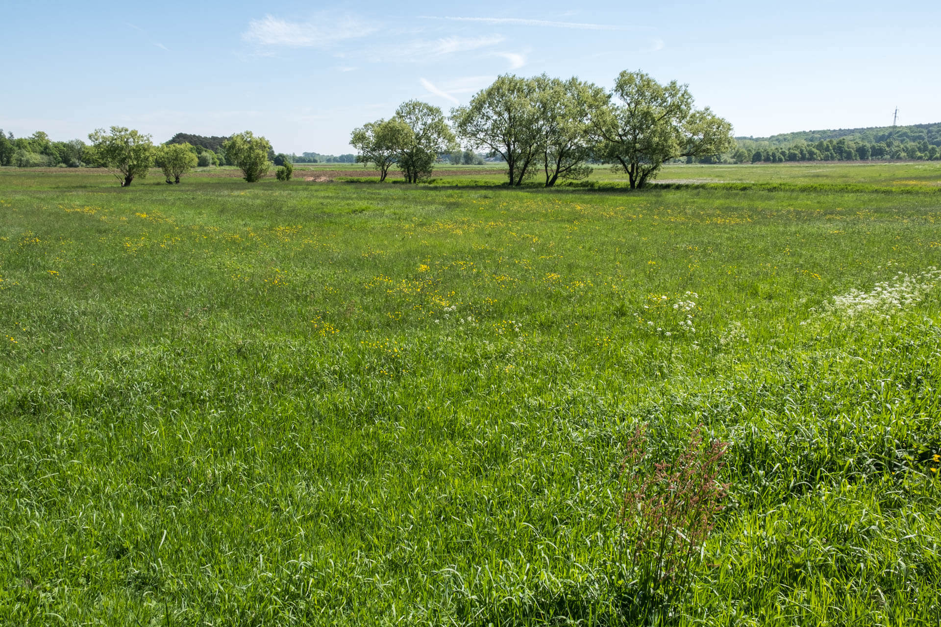
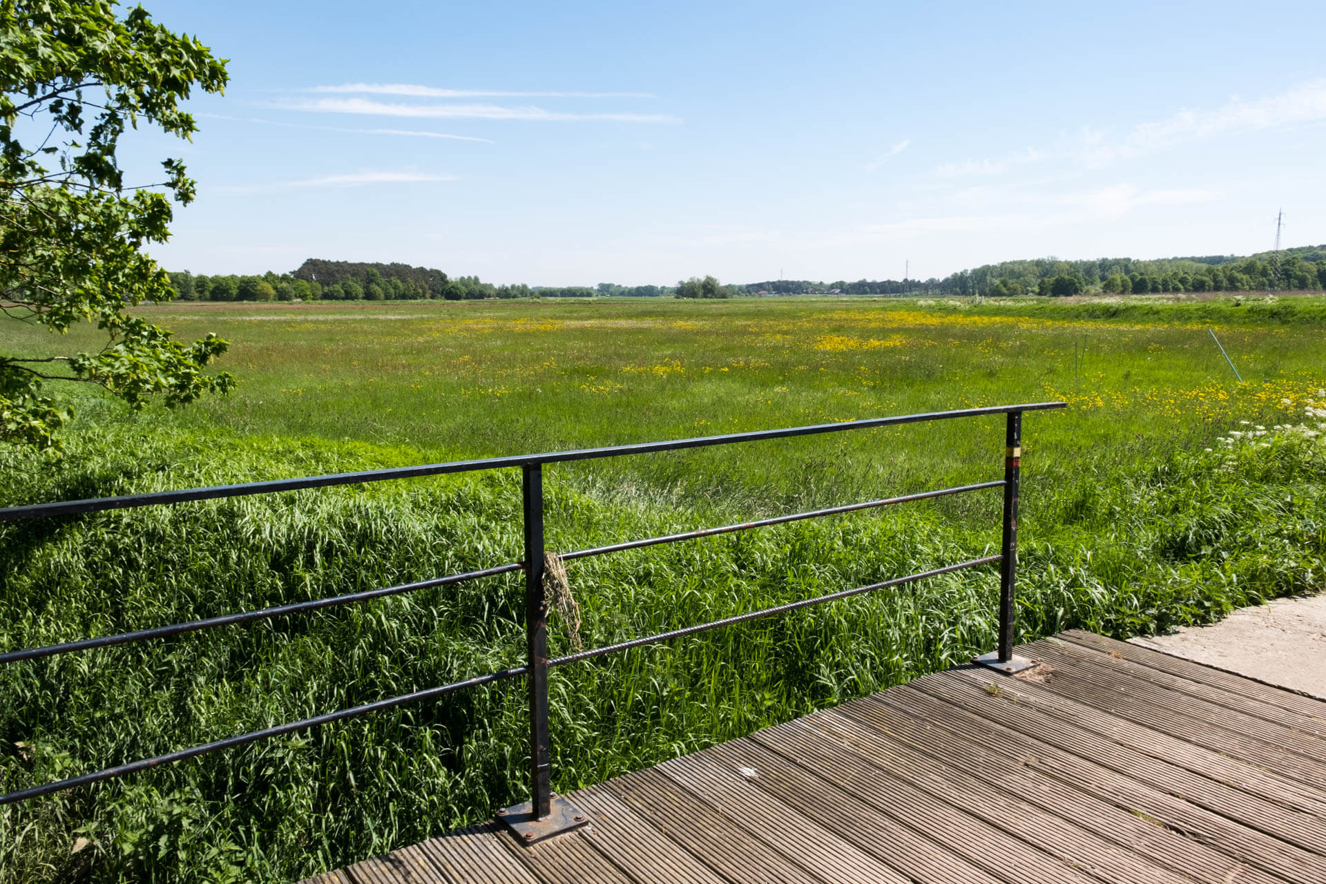
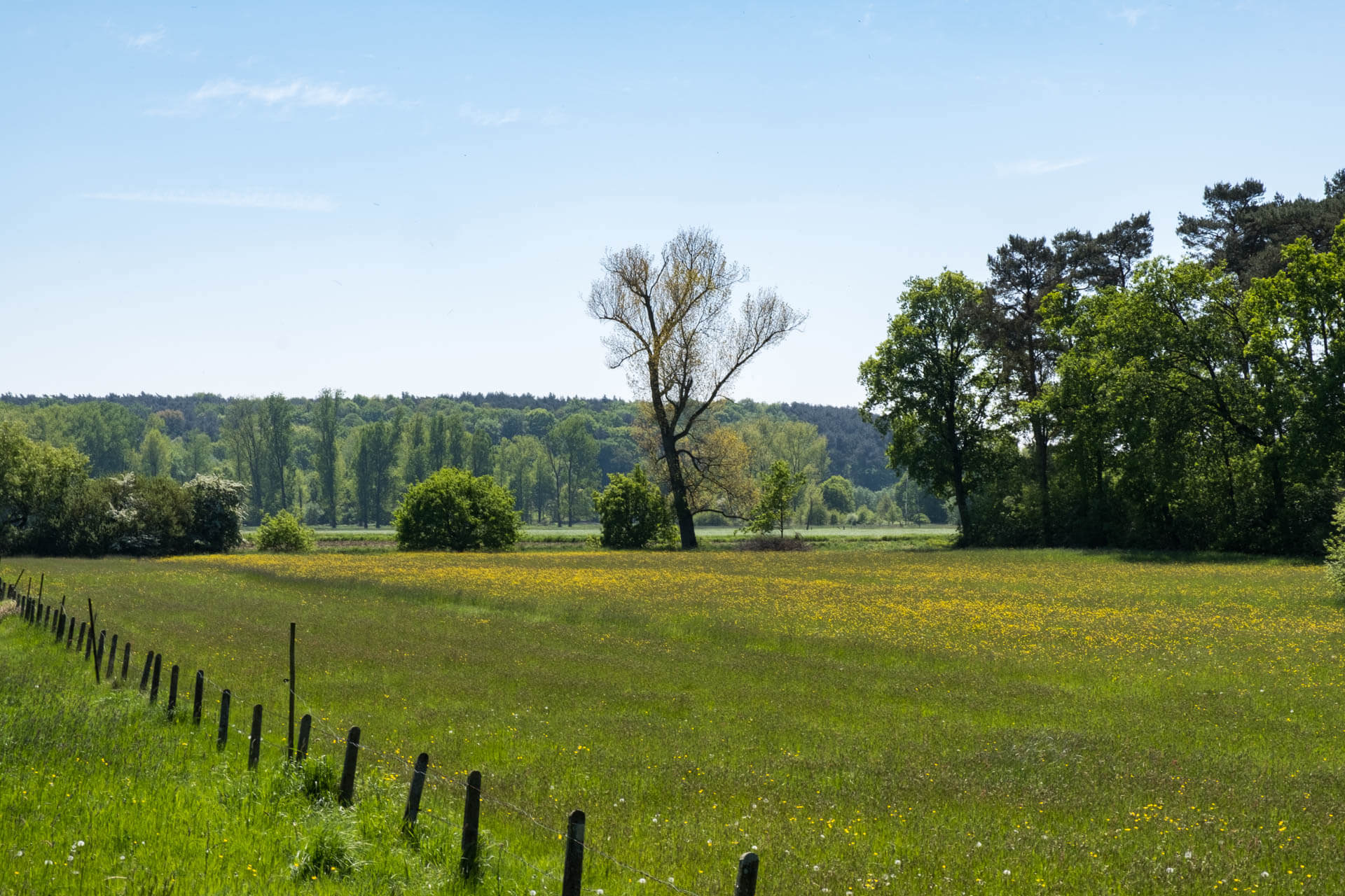
POI 2 - Demerbroeken.
The Demerbroeken forms an extensive piece of nature in the wide valley of the Demer, between Testelt, Zichem, Averbode and Diest. Typical of the region of the Demer trousers is the presence of pulley in the ruins. In the hay meadows you will find different types of sedges, dandelion, marshwurst, real cuckoo flower, hedgehog buttercup, sea green wall and large rattle. The area is protected as a bird directive area and part as a habitat area. It has traditionally been used as a hay field. The former meadow area is a small-scale, very varied landscape, with (coppice) bushes, wood edges, pollard trees, hay meadows, bushes and shrubs. The central part of the valley, formerly a trekking area, is a more open landscape, with low bushes and a view through the valley.
Natuurpunt.
www.natuurpunt.be.