This adventurous gps walk leads you through the beautiful Bujaruelo valley along the banks of the Rio Ara. When we cross the Ara via a beautiful bridge, the adventure begins. We enter the wilderness, first it goes steeply up through a forest and then we walk around a few canyons. The descent then goes towards the beautiful Otal valley until you reach the Otal river. The third part is then quietly strolling on a dirt road and a good path towards the starting point.
Distance: 11 km.
Time: 4h00.
Grade: Moderate.
Type: Circular.
Gps Track: Yes.
Route description: No.
Wheelchair: Not suitable.
Dog: Allowed.
Height gain: 492 meters.
Trail: 100% unpaved.
Marking: None.
Hiking shoes recommended.
Advertisement.
Bujaruelo and Otal.
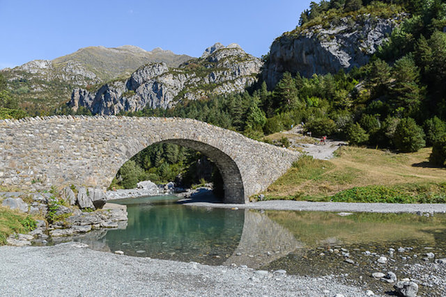
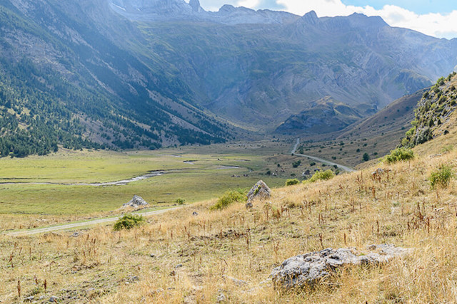
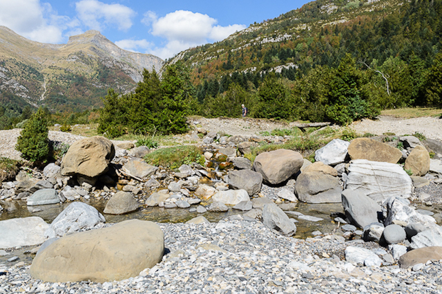
The first part of the walk you follow the banks of the Rio Ara via a nice path and a dirt road. When we cross the Ara via a beautiful bridge, the adventure begins. We enter the wilderness, first it goes steeply up through a forest and then we walk around a few canyons. Along the way you have some beautiful vistas of the Bujaruelo valley. Here and there cairns stand to indicate the path that has not been walked on often, even then the necessary sense of orientation is not a superfluous luxury. The descent then goes towards the beautiful Otal valley until you reach the Otal river. The third part is then quietly strolling on a dirt road and a good path towards the starting point. In short, a walk with two faces. At the Bujaruelo refugio you can enjoy the beautiful scenery. The Roman bridge of San Nicolas de Bujaruelo in particular is really worth a photo.
Sense for orientation needed.
Some step security is required.
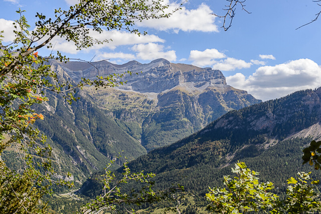
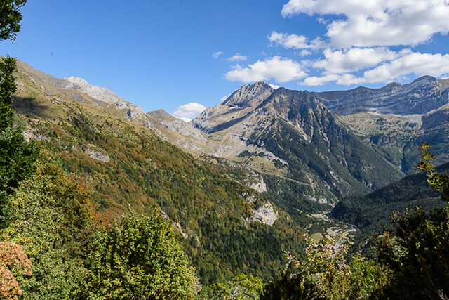
POI 1 - National Park Ordesa y Monte Perdido.
The Ordesa y Monte Perdido National Park is the oldest national park in Spain. In 1918 the Ordesa valley was designated as a national park. In 1982, the area expanded from 2,100 hectares to 15,608 hectares and was renamed "Parque Nacional de Ordesa y Monte Perdido. The park contains some huge canyons: Ordesa, Añisclo, Escuain and Pineta. Of a size that is not found anywhere else in Europe. The park has a height difference of 2,600 meters, from 750 meters in Añisclo to the 3,355 meters on Monte Perdido. This is the 3rd highest peak of the Spanish Pyrenees of which Ordesa is part. Since 1997 the park also falls under the UNESCO World Heritage.
No additional information.
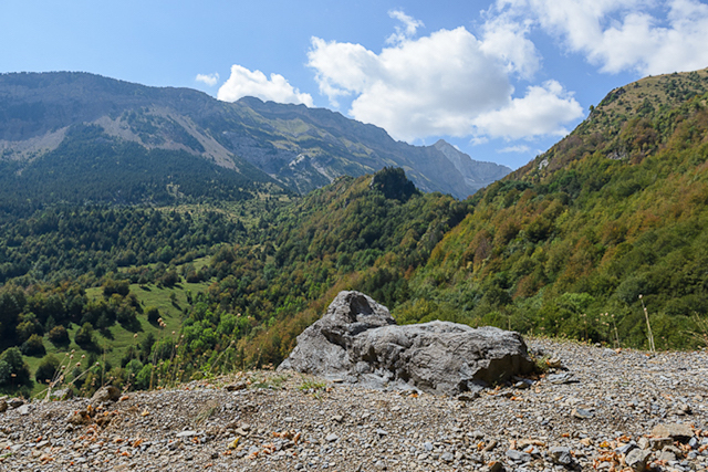
POI 2 - The valley of Bujaruelo.
Until the 18th century there was a settlement in Bujaruelo where the hospital of San Nicolás was built around 1150. Today you can still see the Romanesque bridge, the ruins of the church and the hospital inn. These were rebuilt as often as they were destroyed during the many wars with France.
No additional information.