Lieshout, the starting point of the third stage, is best known for the Bavaria beer brewery, the brewery buildings of which you could already see during the previous stage. The village also has two mills, De Leest mill with the De Mulder monument in front of the mill and the Vogelenzang mill. The stage goes through the hamlet of Deense Hoek and the Ruweeuwsels nature reserve back to the edge of Lieshout for a visit to the Vogelenzang mill. After a visit to the mill, the stage goes past the small nature reserve the Moorselen, the Keelgras and the Lieshoutse Heide, also called Lieshoutse Bossen, after Mariahout, the end point of this stage.
Distance: 16 km.
Time: 3h30.
Grade: Moderate.
Type: Point to point.
Gps Track: Yes.
Route description: Yes.
Wheelchair: Not suitable.
Dog: Allowed.
Height gain: No info.
Trail: 67% unpaved.
Marking: See PDF route description.
Hiking shoes recommended.
Advertisement.
Deense Hoek.
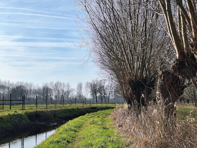
The name of the hamlet Deense Hoek arose from a combination of the word 'Danish', which means barren, and the word 'hoek', which indicates the marginal quality of the agricultural land. The Ruweeuwsels nature reserve near lock 5 was originally used for poplar cultivation, but the poplar planting has gradually been transformed into a more varied mixed forest. It currently consists of swamp forest with small plots of wet grassland that offer nice views. The bridge at lock 5 was blown up twice during WWII, in 1940 by Dutch troops for defense and in 1944 the now restored bridge was blown up again, this time by German troops. The Moorselen nature reserve already existed in the Middle Ages. The area was so wet that the land was under water for much of the year. After the Ginderdoorse Loop was dug around 1250, the area was better drained and grasslands could be created. The Keelgras, which consists of a covered and planted former waste dump, is a small nature reserve with a small swamp with lots of reeds on the edge. At the top there is a lookout tower with beautiful views of the surroundings. Almost at the end of the stage, the walk goes through the edge of the Lieshoutse Bossen, also called Mariahoutse Bossen, and the Torreven, which is located on the edge, is visited. At the very end of the stage you pass a very large Lourdes cave. After the parish was founded in 1932, dedicated to Our Lady of Lourdes, the first pastor wanted to add a Lourdes Grotto to the church. The cave, 10 meters high and 25 meters wide, is a faithful copy of the Grotto of Massabielle as it existed in Lourdes in 1935.
Download PDF for route description and map.
Practical information: The stage goes in the Keelgras on a narrow path on a hill, which used to be a landfill. Especially later in spring and summer the path can be difficult to walk due to the vegetation, an alternative is available.