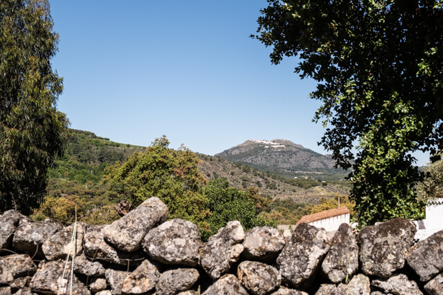
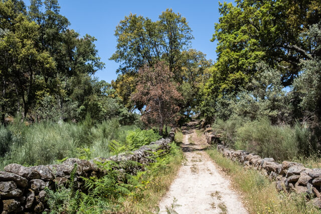
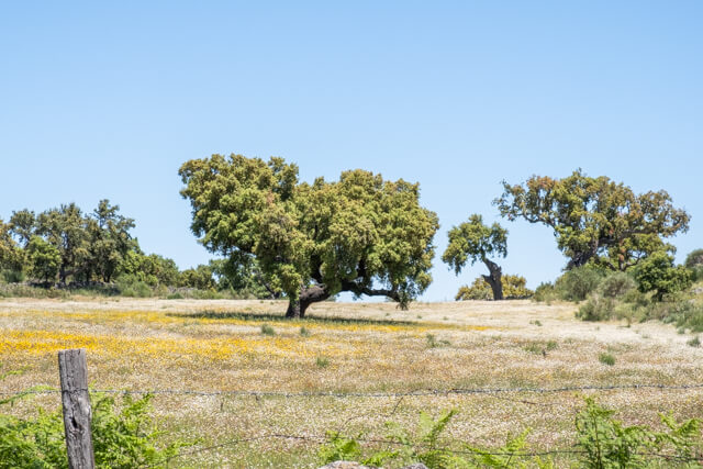
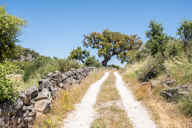
From the village of Galegos you walk along old smuggling paths along the Spanish border. Due to the outbreak of the Spanish Civil War in 1935, the inhabitants of this Portuguese region became very poor. In order to have some source of income, they started smuggling coffee and tobacco. These smugglers were active until about 1960. Then it goes through a gently rolling landscape in the direction of the River Sever that you cross. The last part is on walled medieval paths with beautiful views over the valley back to the village.
Distance: 12 km.
Time: 4h00.
Grade: Moderate.
Type: Circular.
Gps Track: Yes.
Route description: Yes.
Wheelchair: Not suitable.
Dog: Allowed.
Height gain: 316 meters.
Trail: Paved and unpaved.
Marking: Yellow - red and signs PR2-MRV.
Hiking shoes recommended.
Advertisement.
Along smuggling paths and medieval roads.
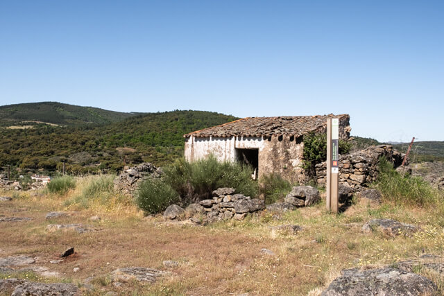
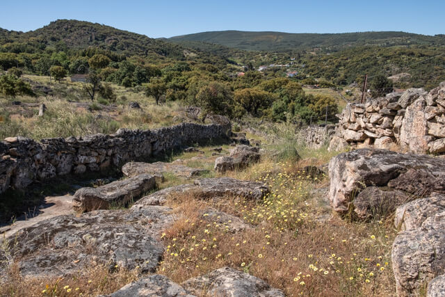
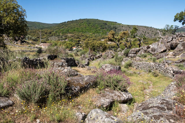
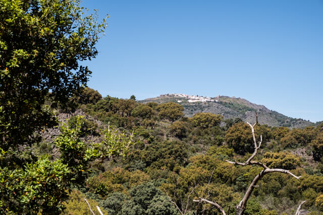
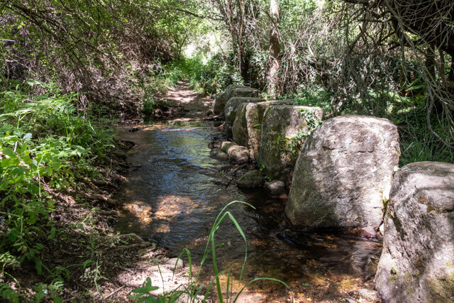
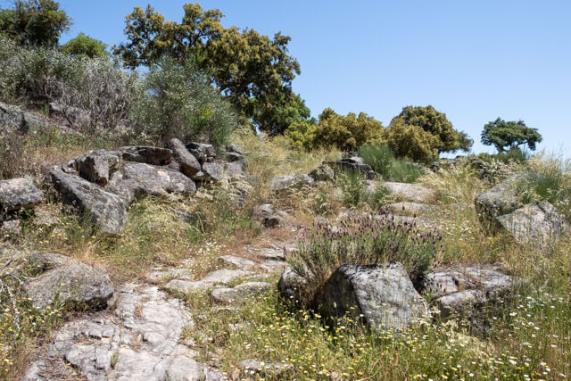
The hiking trail starts in the village of Galegos, at the old bus stop in the Largo da Ponte. On the granite bed of the river large cavities have been carved out by the action of stones that, driven by the water, have gradually dug themselves into the rocky bed (POI 1). The walk continues in the direction of the border. On this part of the walk, between Galegos and La Fontanera, you walk on old smuggling paths to Castro Da Crenca (POI 2), where there is a sign with information about these turbulent times. The walk then goes through a gently rolling landscape, to and over the rivers Galegos and Sever (POI 3). Further afield, a beautiful view of the valley, including impressive granite blocks of enormous size. Later you pass a dark green patch of chestnut trees to go back to the village.
Download PDF for route description.
Take enough drinking water along.