Hike through the Cranendonck forest and along the edge of the Molenheide.
Distance: 9 km.
Time: 2h00.
Grade: Easy.
Type: Circular.
Gps Track: Yes.
Route description: Yes.
Wheelchair: Not suitable.
Dog: Allowed.
Height gain: Flat.
Trail: 77% unpaved.
Marking: Walking nodes.
Hiking shoes recommended.
Advertisement.
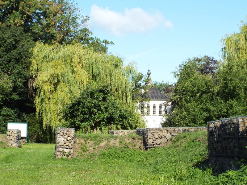
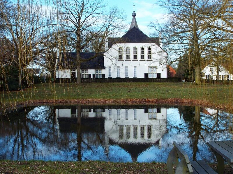
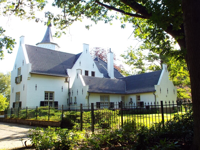
Baronie Cranendonck.
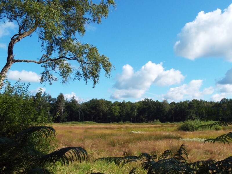
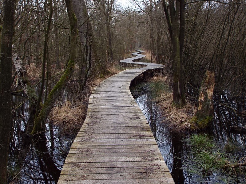
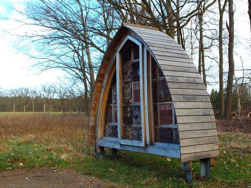
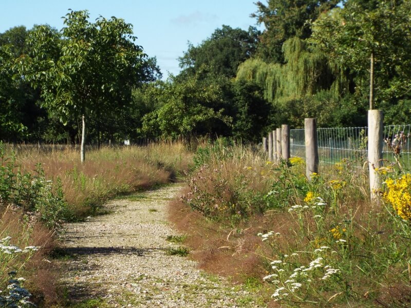
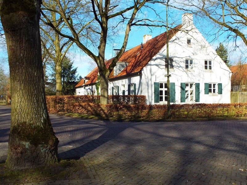
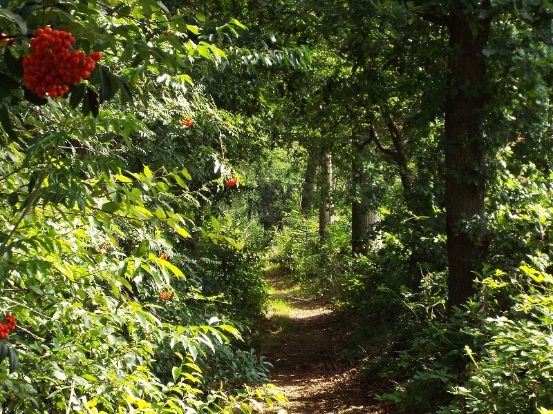
The Cranendonck forest consists on the edges of tall pines, oaks and birches and a bit more to the middle wet grasslands. The lowlands are supplied with water from the high convex fields around the Cranendonck area. The water mainly rises through seepage, which can be seen from the characteristic iron-containing brown water. The Baronie Cranendonck was built around 1200 around the castle of the same name, which was destroyed by the French in 1673 and whose foundations were made visible in 2009 by means of ramparts. The farm that stood near the castle was demolished in 1899 and replaced by a villa, the current castle. At the castle is an orchard consisting of standard trees with old-fashioned fruits, apples, pears, nuts with a bee hotel on the edge. The Buulder Aa, which flows here along the grounds of the castle ruin, is part of an ecological connection zone and has become increasingly cleaner in recent years.