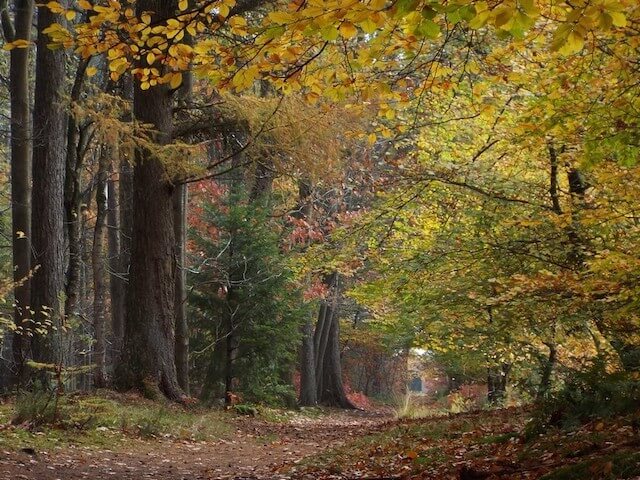
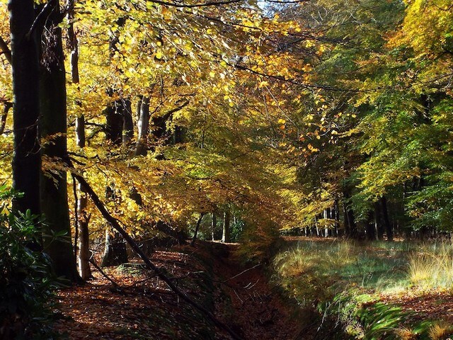
Walking tour through the nature reserves Beestenveld, Klotterpeel and the Stippelberg estate. Together with the Nederheide, these areas form the largest contiguous nature reserve in East Brabant.
Distance: 16 km.
Time: 3h30.
Grade: Moderate.
Type: Circular.
Gps Track: Yes.
Route description: Yes.
Wheelchair: Not suitable.
Dog: Allowed.
Height gain: No info.
Trail: 92% unpaved.
Marking: See PDF route description.
Hiking shoes recommended.
Advertisement.
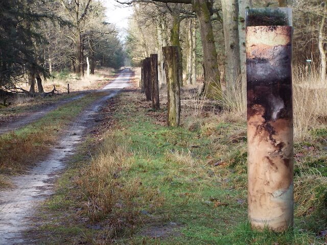
Dots in the landscape.
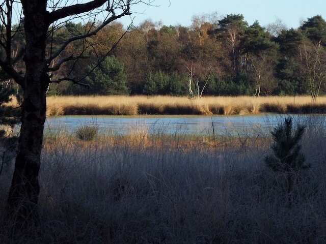
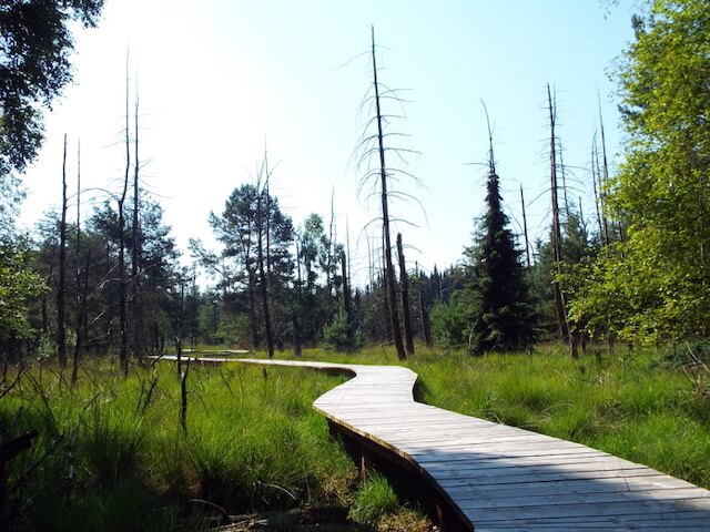
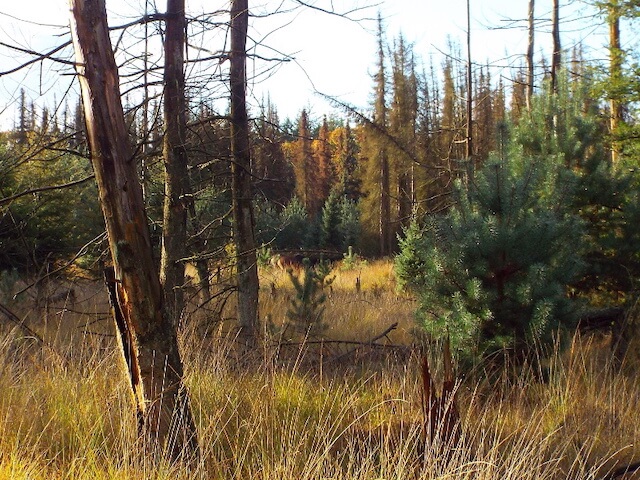
The Beestenveld was originally a forest for mining, which is increasingly evolving into a varied forest. The Klotterpeel is the remnant of an once extensive peat area that now consists of some moist heathland with a fen, in which there are remains of an old peel boat, the name refers to the peat farm. The Stippelberg estate consists of two parts, the eastern part consists of beautiful avenues that belong to the country house, the western part consists of pine forest with dots in the landscape. Those countless dots are drifting dunes that were created by sand drifts. The Stippelberg estate owes its name to these hills. During the tour one passes by a small forest museum, the remains of trenches and one can of bucket.
Download PDf for route description.
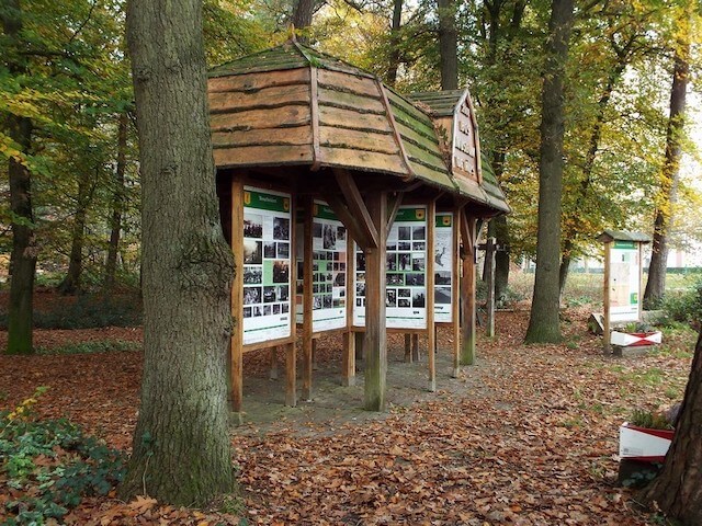
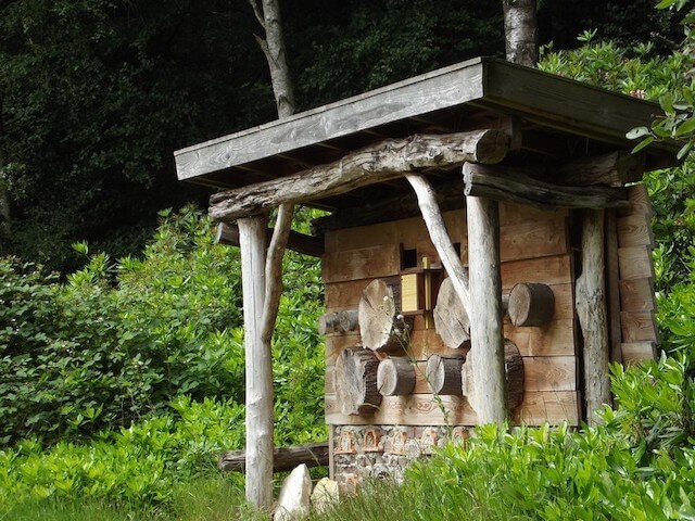
POI 1 - Forest Museum.
On the edge of the Ripse woods stands in the open air, a hand-timbered forest museum. This wooden roof - with theme panels - is built in an authentic way. Of Rips wood of course. It is a museum that tells the history of the "forest clearing village" at a glance.
VVV De Peel.
www.landvandepeel.nl
POI 2 - Remnants of trenches.
This is the site of the last remains of the trenches that were zigzagged by the Peel just before the Second World War in 1939. The trenches were part of the Dutch defense against the invading enemy from the east.
VVV De Peel.
www.landvandepeel.nl
POI 3 - Peel edge fracture.
The Peelrand fault is a geological fault line that owes its name to the Peel. The Peelrand fracture is visible on the surface only at a few locations.
No additional information.
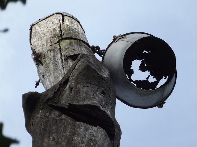
POI 4 - D'n Blikken Emmer.
On one of the highest drifting dunes of the Stippelberg there was a long pole on this site since the year 1810. The pole had a length of 7 to 8 meters and in the top was a wicker basket and a flag. The pole was used by French surveyors and was called a 'Lange Juffer'. Later it was named 'D'n Blikken Emmer'.
No additional information.
POI 5 - Koorde canal.
The Koordekanaal was part of the Peel Raamstelling. The canal branched off from the Defense channel southwest of Landhorst, ran roughly parallel to the current Middenpeelweg along Elsendorp and continued through Beestenveld and the Klotterpeel south of De Rips in a southeastern direction to eventually reconnect to the Defense channel.
No additional information.