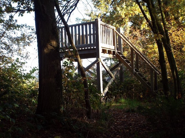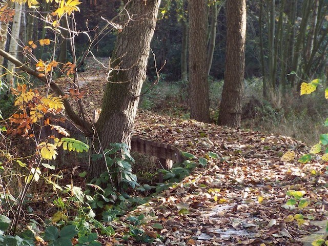
The walk goes through the nature reserve Sarsven and the Banen, the new nature reserve De Kwegt, forest area Wellensteyn and a number of linked forest plots around an agricultural area. Peat extraction has taken place in a large part of the area that is visited.
Distance: 16 km.
Time: 3h30.
Grade: Moderate.
Type: Circular.
Gps Track: Yes.
Route description: Yes.
Wheelchair: Not suitable.
Dog: Allowed.
Height gain: No info.
Trail: 77% unpaved.
Marking: See PDF route description.
Hiking shoes recommended.
Advertisement.
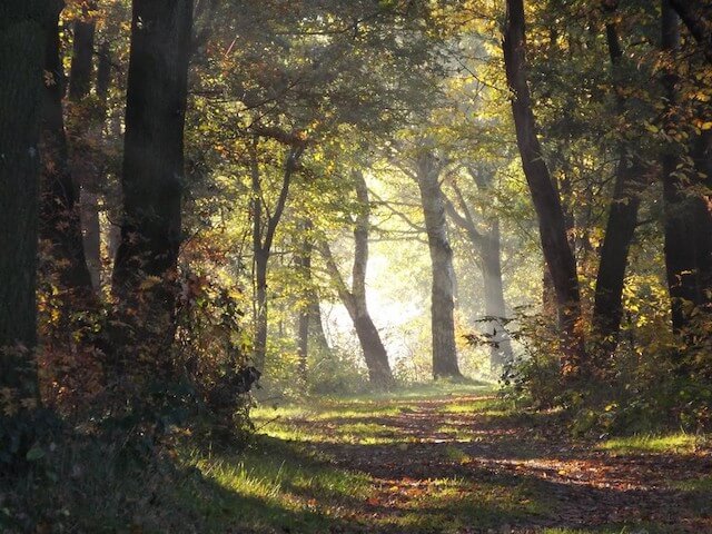
Wellensteyn forest.
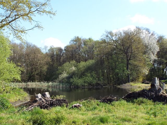
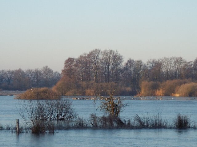
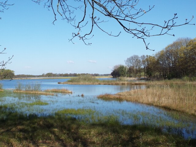
Due to the deforestation, the landscape has undergone a major change, creating fens and puddles that later had different purposes. The construction around 1926 of the connecting channel between the towns of Wessem and Nederweert also had a great influence on the landscape. For example, during the construction, the sand that was released ended up in the Wellensteyn area. The area must have been several meters lower before that time. The Wellensteyn area was later planted for the purpose of production forest, and currently the Limburgs Landscape is gradually transforming the production forest into a more natural forest. Many of the fens were created by the detention disappeared under the sand that was released, the Sarsven and the Jobs are the few remaining fens. De Kwegt is still a young nature reserve, in 2017 an area that consisted mainly of corn fields with straight ditches and an asphalt road was transformed into a large fen complex. Much of the sand that has been applied has been removed again, after which the nutrient-poor layer reappears, resulting in a varied area around a new attractive fen complex. The environment of Sarsven also appears to be one of the most important Dutch sites for settlement from the Old and Middle Stone Age (10.0000 to 3.000 BC).
Download PDf for route description.