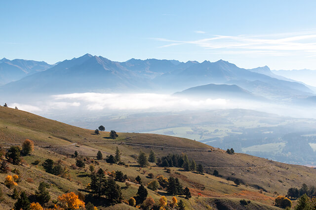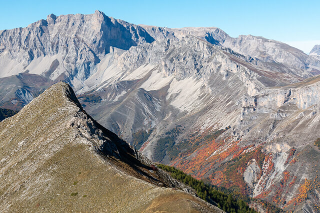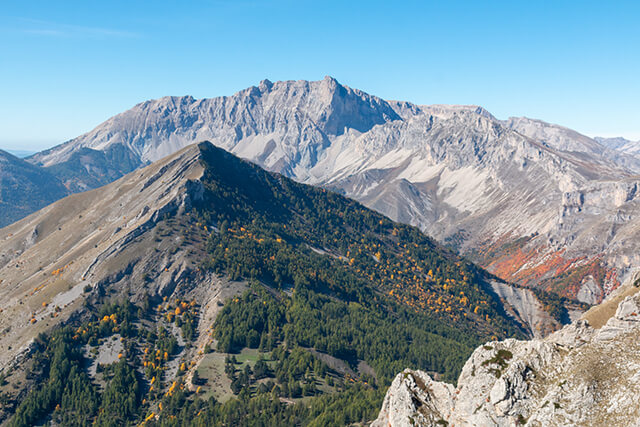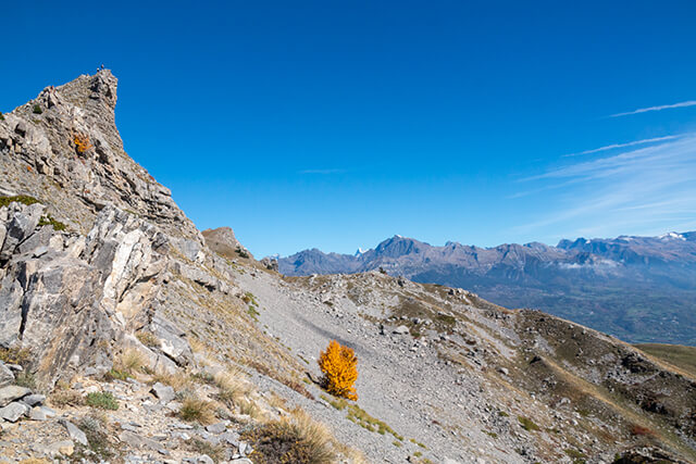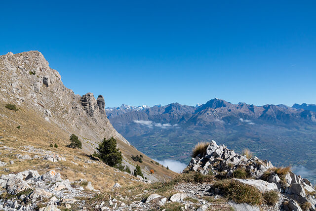
This walk takes you to the Pic de Gleize at an altitude of 2161 meters where you have a beautiful panorama of the peaks of the Ecrins and the surrounding peaks such as the Pic de l'Aguille and Pic de Bure. With a bit of luck you can spot Mouflons on the western flank.
Distance: 6.5 km.
Time: 3h00.
Grade: Moderate.
Type: Circular.
Gps Track: Yes.
Route description: Yes.
Wheelchair: Not suitable.
Dog: Allowed.
Height gain: 453 meters.
Trail: 100% unpaved.
Marking: See PDF route description.
Hiking shoes recommended.
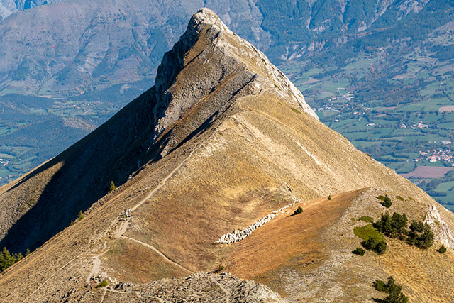
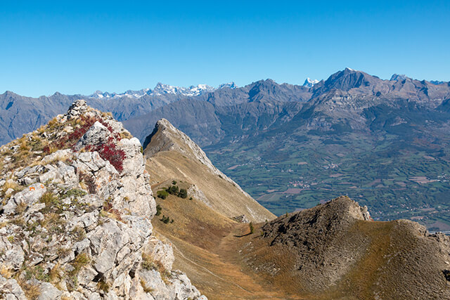
View of the Pic de l'Aiguille and Pic de Bure.
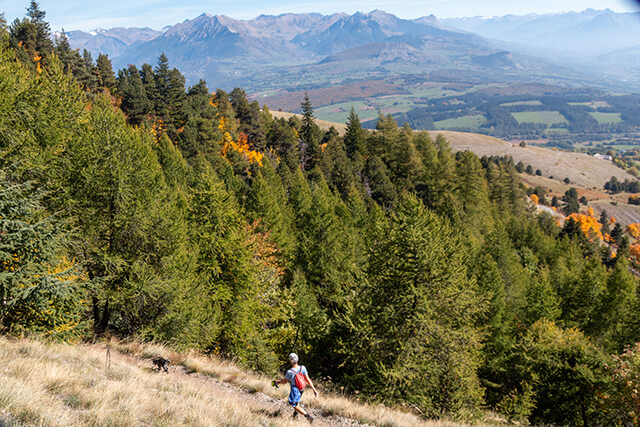
From the starting point you ascend with large hairpin bends to a grassy plain. You cross the plain and start a long climb to the foot of the Pic De Gleize. You follow the ridge and return to a beautiful grassy plain. Once you have crossed the plain you will come to the pass between the Pic de Gleize and the Pic de l'Aiguille. You now follow the ridge to the top. From the top you have a beautiful view of surrounding peaks such as the Chaudun and Pic de l'Aiguille, Pic de Bure and Col Rabou. In the distance you can see the peaks of the Ecrins. You descend along the other side of the top, this descent is quite steep in the beginning.
Download PDf for route description.