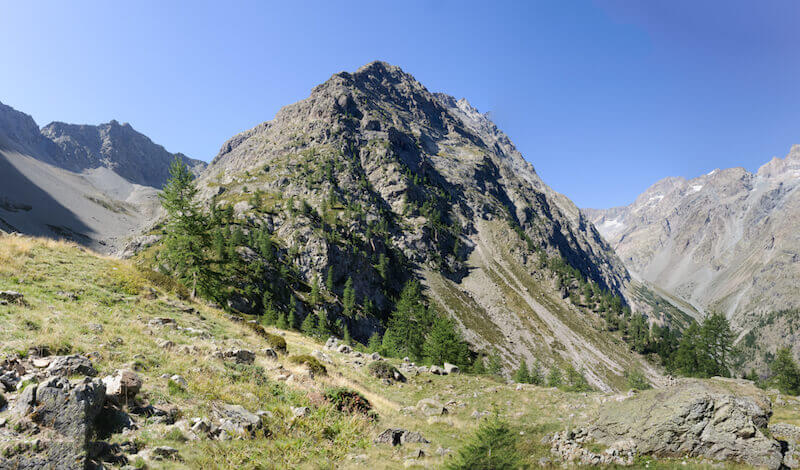
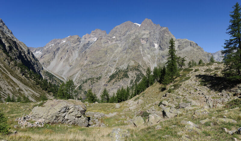
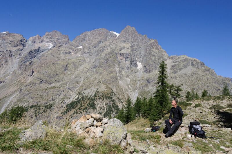
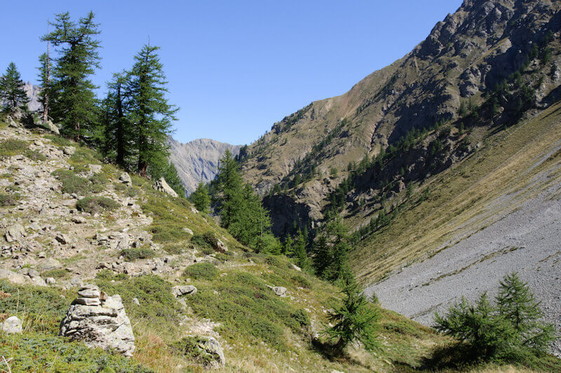
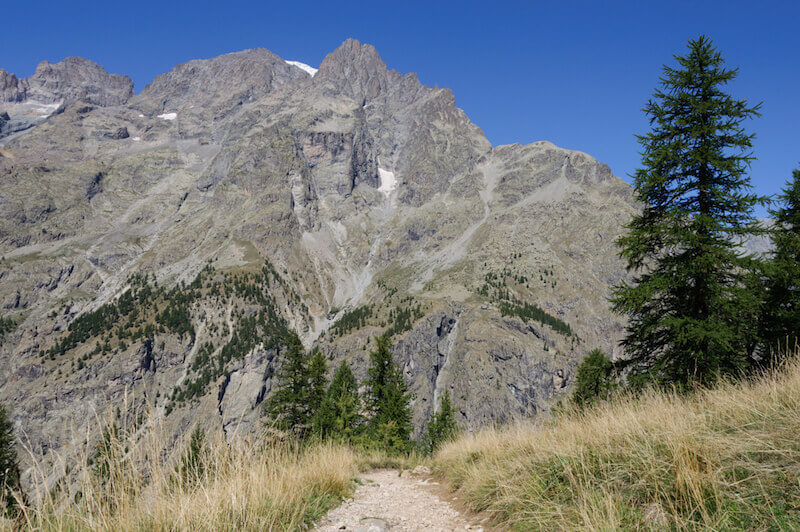
The Valley de Clapouse is a side valley of the Celse Nière. During the walk you always have a beautiful view of the Celse Nière and the imposing Pelvoux. In front of you is the steep wall of the Crête de l'Agulier. When you leave the forest you see a grass hill on the left, this is the Bosse de Clapouse (2179 meters). The view of two of the roughest valleys of the Ecrins is therefore spectacular. The Valley of the Clapouse is also known for the large population of chamois, the chance that you see them is greater if you leave very early. They disappear as soon as the first hikers enter the valley.
Distance: 8 km.
Time: 3h30.
Grade: Moderate.
Type: Back and forth.
Gps Track: Yes.
Route description: Yes.
Wheelchair: Not suitable.
Dog: Not Allowed.
Height gain: 675 meters.
Trail: 100% unpaved.
Marking: Information panel at the starting point.
Hiking shoes recommended.
Advertisement.
A grass hill in the land of chamois.
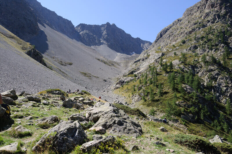
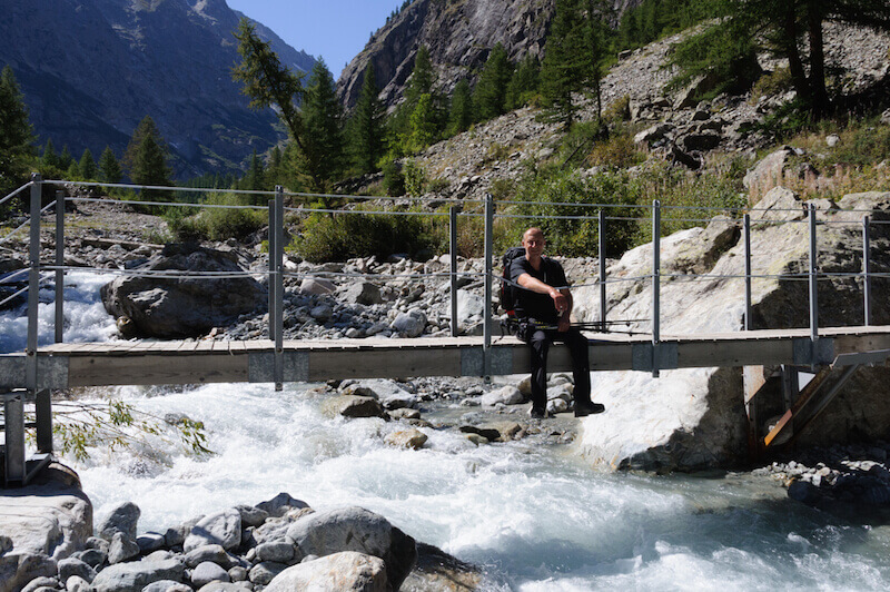
At the parking lot, follow the sign indicating the direction of Clapouse. You go through the Sélé valley along the path that follows the left bank of the Celse Nière. At an altitude of 1572 m you will come to a bridge over the river. Cross the bridge, the path straight ahead leads to the Sélé refuge. Go up this path until you reach the Bosse de Clapouse, you will no longer encounter any junction until you reach your goal. You return to the starting point via the same route. You can also go from the Bosse de Clapouse even further to the Collet du Rascrouset at 2799 meters; 6 hour walking time, to the Crête de l'Agulier; 7.15 hour walking time or to Pointe de Rascrouset at 3082 meters; 7.30 hour walking time. These routes are reserved for very experienced mountain hikers.
Download PDF for route description.
Start early to spot chamois.