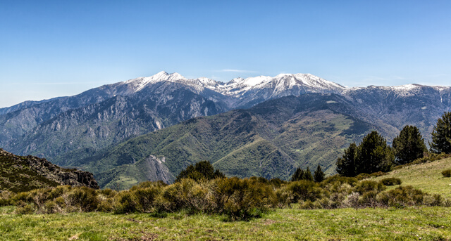
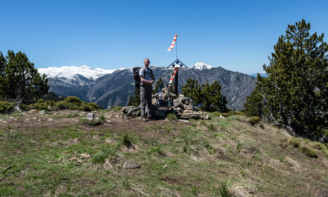
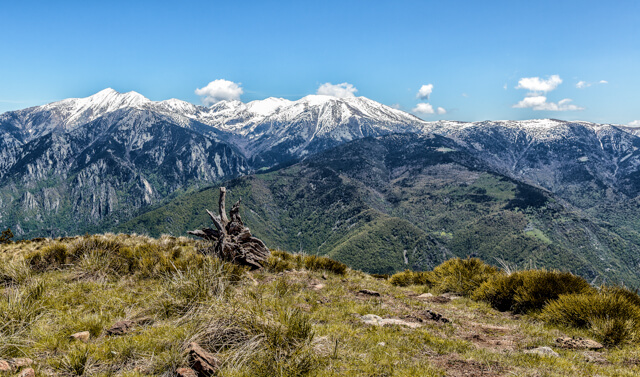
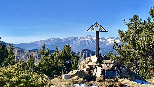
At the top you get a three star panorama on all surrounding mountains but especially on the massif of the Canigou with its 2784 meters the highest mountain in the region. You also have a beautiful view of the valley of the Têt and the nature reserves of Py and Mantet. Don't forget to write something in the log hidden in the old microwave oven!
Distance: 8 km.
Time: 3h00.
Grade: Moderate.
Type: Back and forth.
Gps Track: Yes.
Route description: Yes.
Wheelchair: Not suitable.
Dog: Not allowed.
Height gain: 426 meters.
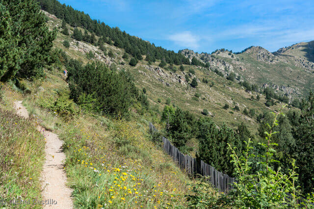
Trail: 100% unpaved.
Marking: GRP - Yellow - Red.
Hiking shoes recommended.
Advertisement.
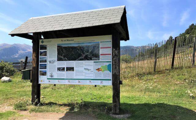
Py Nature Reserve.
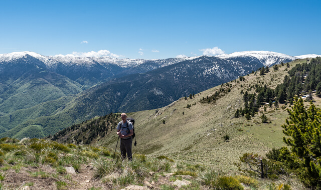
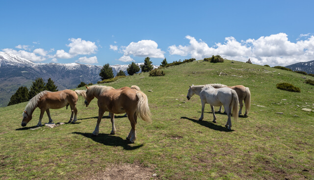
The path soon goes through a forest and then continues along the side of the Puig del Signor to the Col de la Mente. Here you will undoubtedly see beautiful horses grazing. From the Col de la Mente it continues over green slopes to the col Tres Estelles. From there you have to take a short tough climb to the Pic des Tres Estelles and return to the starting point on the same route.
Download PDF for route description.
POI 1 - Py Nature Reserve.
The Py nature reserve is located between the Mantet and Prats de Mollo-la-Preste reserves and covers 3,930 ha. This wooded area, between the Canigou massif and the Costabona massif, varies from 950 meters to 2,465 meters. Chamois, wild boars and the golden eagle feel at home in this beautiful nature reserve.
No additional information.