A nice walk in the nature reserve of Mantet to the unmanned refuge de l'Alemany at an altitude of 1968 meters. A little past the refuge you come to the ruins of the Baraque des Allemands. This was a building built by German troops during World War II. It served as a checkpoint to catch people trying to cross the border into Spain.
Distance: 9 km.
Time: 3h30.
Grade: Moderate.
Type: Circular.
Gps Track: Yes.
Route description: Yes.
Wheelchair: Not suitable.
Dog: Not allowed.
Height gain: 615 meters.
Trail: 99% unpaved.
Marking: GR and Yellow dash.
Hiking shoes recommended.
Advertisement.
Mantet Nature Reserve.
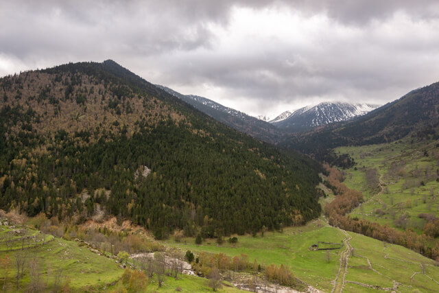
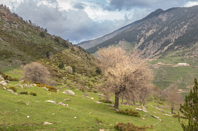
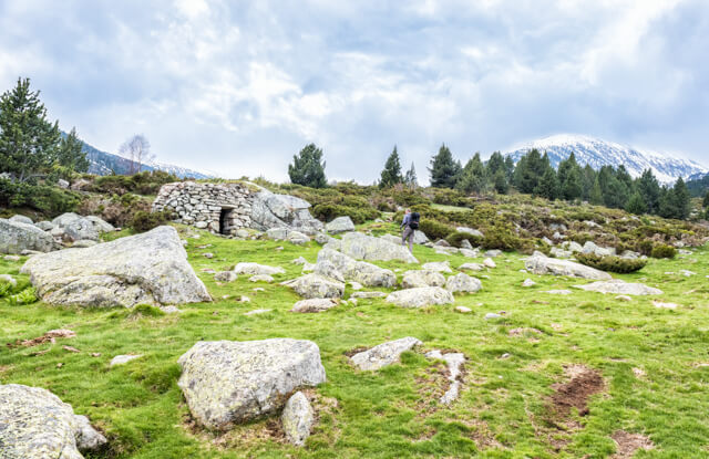
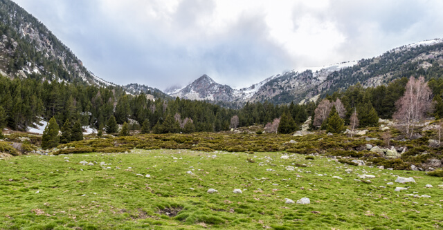
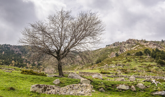
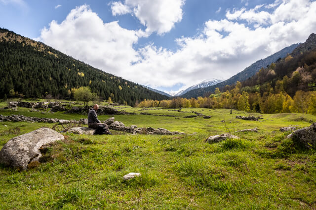
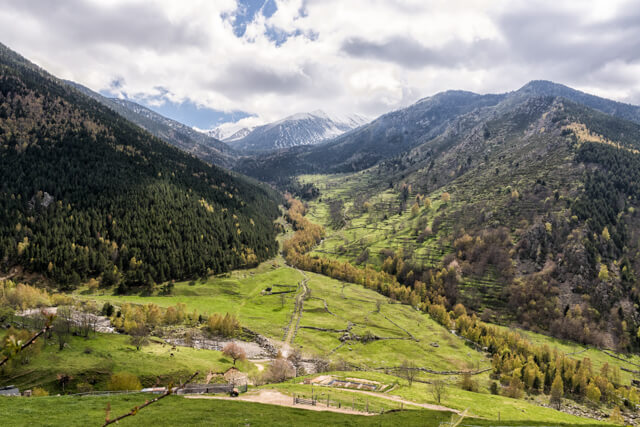
You leave in the beautifully restored village of Mantet that has 25 inhabitants and follow part of the GR10. When you have left the village you walk through a beautiful valley on a path that is demarcated on both sides with walls. You pass a stone hiding place for shepherds and at a fork you leave the GR10 to reach the unmanned refuge de l'Alemany. You return through a beautiful forest via Le pas des Vasques with the Rivière de l’Alemany as your guide.
Download PDF for route description.
POI 1 - Mantet Nature Reserve.
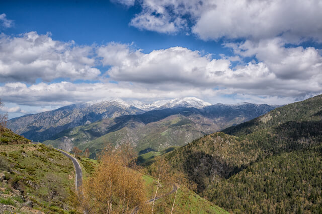
Mantet territory extends over more than 3000ha, with a height difference of 1500 to 2700m. The Mantet high plains have three rivers that divide the reserve into three valleys: the Ressec, the Allemany and the Caret. These tormented plains are the terrain for chamois and marmots that occur here in large numbers. Leaving the high plains and descending into the valleys, we end up in swampy meadows interspersed with forest, which provides shelter for animals such as wild boars, deer and martens. At the bottom of the village, these rivers merge to form the Mantet River, which flows to Nyer, and then to the Tet, which eventually flows into the Mediterranean. In the summer, just like hundreds of years ago, cows, horses and sheep still graze on these fertile pastures. The many oris (stone shepherd's huts), cortals (stone fences) and the cami ramader (paved path) testify to the strong presence of pastoralism in the past. The nature reserve has several marked hiking trails and is also located on some long-distance trails such as the GR10, GRP Tour du Canigou and the HRP (Haute Randonnée Pyrénées).
No additional information.