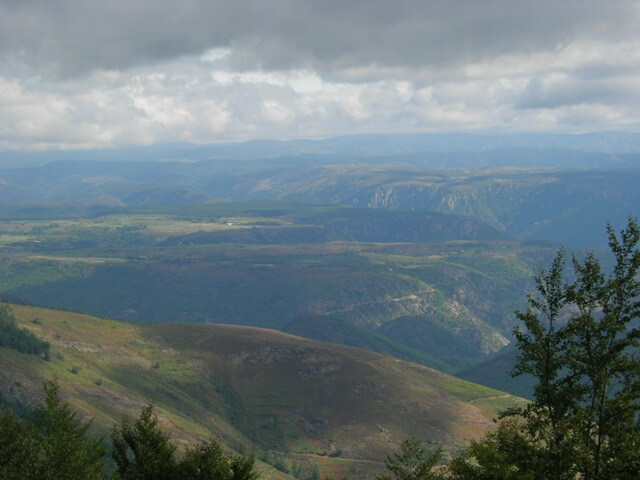
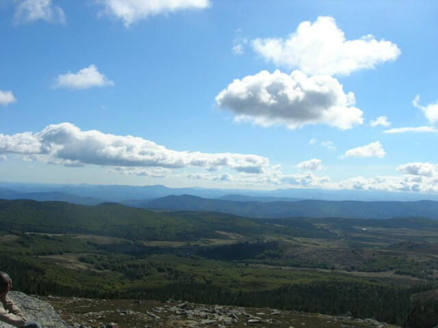
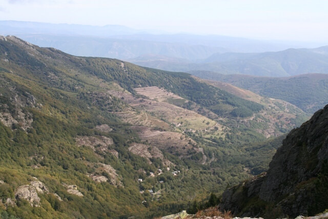
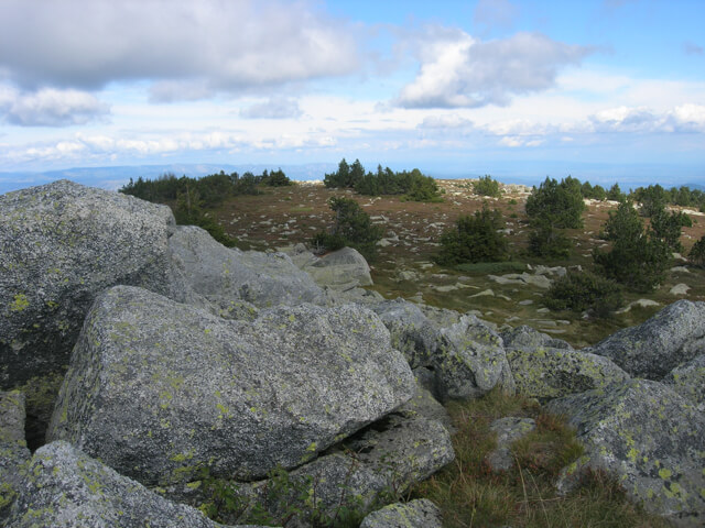
This walk takes you to the Pic de Cassini at an altitude of 1680 meters from where you have a beautiful panorama of the Cévennes, the volcanoes of the Auvergne and, in clear weather, even the Alps.
Distance: 8 km.
Time: 2h30.
Grade: Easy.
Type: Back and forth.
Gps Track: Yes.
Route description: Yes.
Wheelchair: Not suitable.
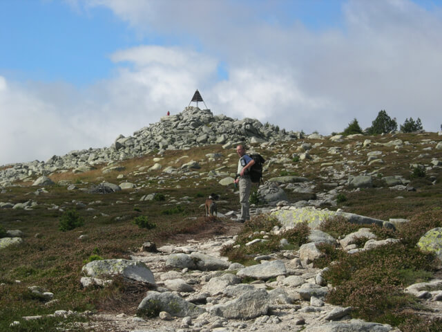
Dog: Allowed.
Height gain: 252 meters.
Trail: 100% unpaved.
Marking: PR - Yellow dash.
Hiking shoes recommended.
Advertisement.
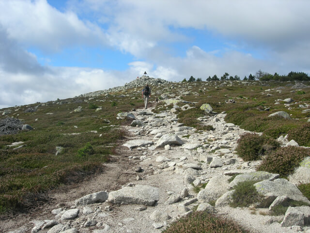
Panoramic view of the Cevennes.
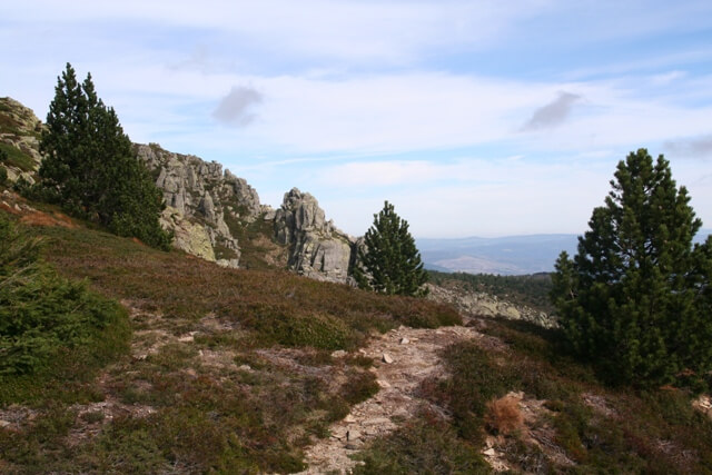
From the Mas de la Baraque you walk through a forest to the Col de l'Aigle. Here you already have a nice view. From the Col de l'Aigle you walk further in the direction of a metal pyramid at the top of the Pic de Cassini. You return to the starting point via the same route. At the top you have a beautiful panorama. Red deer are often seen on the plains below you.
Download PDF for route description.
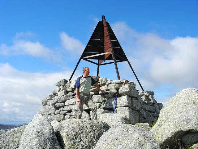
POI 1 - Pic de Cassini.
The Pic de Cassini owes its name to the famous Cassini family, who revolutionized French cartography in the 18th century. It was one of the peaks where measurements were taken at that time. The summit is not a real peak but is a vast summit plateau at 1680 meters altitude that forms the second highest point of Mont Lozère after the Pic de Finiels at 1699m.
No additional information.