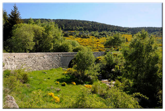
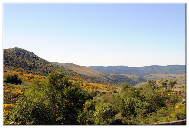
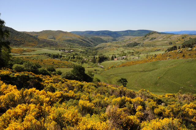
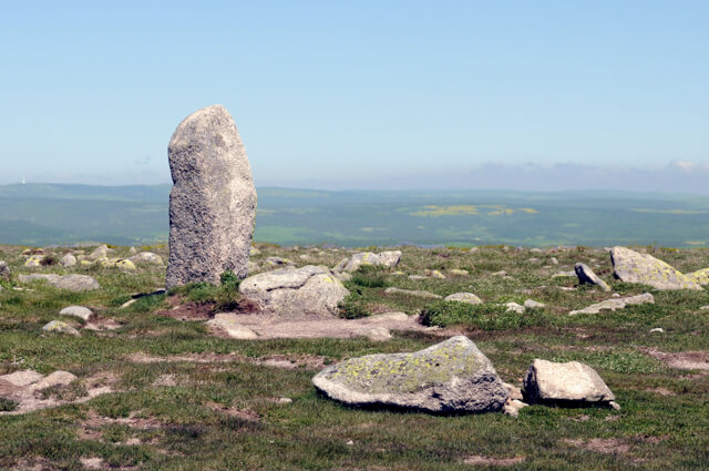
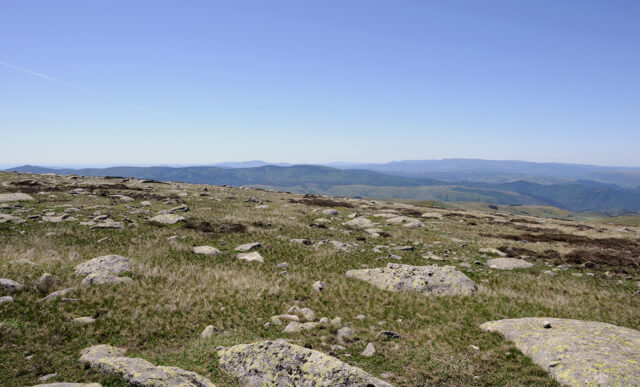
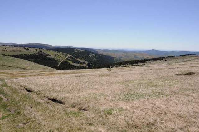
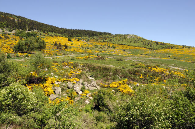
This walk follows the sentier de Mallevrière to the highest peak of the Cévennes, the Finiels summit. This summit is located in the Mont Lozère massif and is 1699 meters high. The granite landscape offers fantastic views and gives you a good impression of the desolate environment.
Distance: 9 km.
Time: 3h30.
Grade: Moderate.
Type: Circular.
Gps Track: Yes.
Route description: Yes.
Wheelchair: Not suitable.
Dog: Allowed.
Height gain: 387 meters.
Trail: 100% unpaved.
Marking: Yellow dash.
Hiking shoes recommended.
Advertisement.
Grand Tétras.
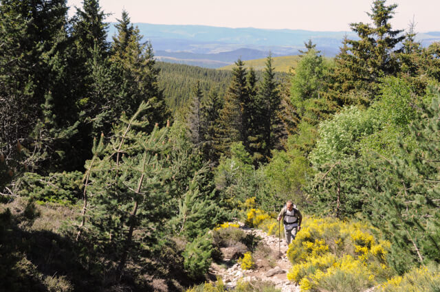
The Grand Tétras was set back in the forest that you crossed on the way there. This rare bird species is extremely sensitive to changes or disturbances in its natural environment. In the spring the males gather to parade their tail and make a strange noise. (sounds like uncorking a wine bottle). Mont Lozère was almost completely deforested at the beginning of the last century, largely due to the residence of thousands of sheep. At the beginning of the 20th century, to prevent erosion, reforestation was done by the local population.
Download PDF for route description.
Do not undertake in foggy weather.