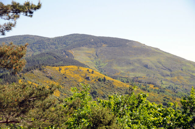
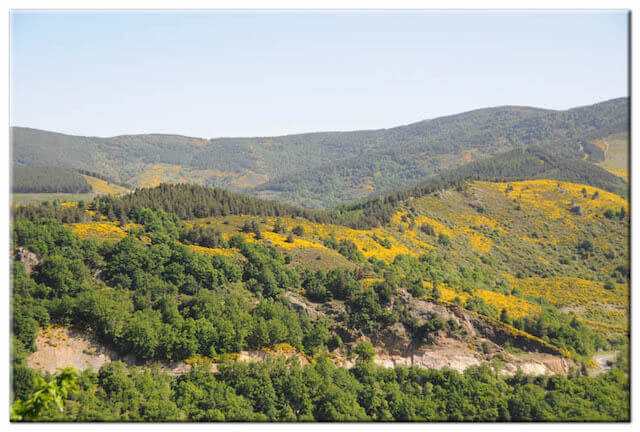
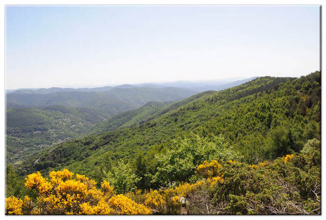
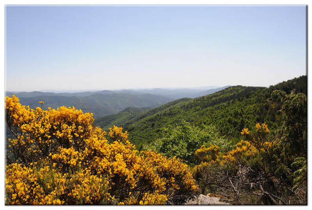
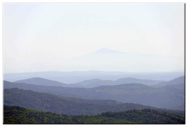
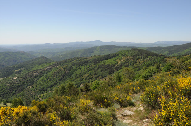
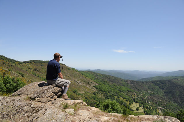
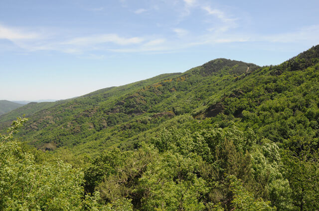
This walk goes a part along the draille de Languedoc and introduces you to three valleys; Vallee Longue, Gardon Saint-Germaine-de-Calberte and Mimente. At the top of La Cayla you get a 360 ° panorama on the Cevennes and in clear weather on the Alps and Mont Ventoux. From the col des Abeilles you walk through the forest of Fontmort back to the starting point.
Distance: 9 km.
Time: 3h00.
Grade: Moderate.
Type: Circular.
Gps Track: Yes.
Route description: Yes.
Wheelchair: Not suitable.
Dog: Allowed.
Height gain: 339 meters.
Trail: 99% unpaved.
Marking: Yellow dash.
Hiking shoes recommended.
Advertisement.
Draille du Languedoc.
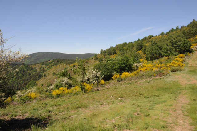
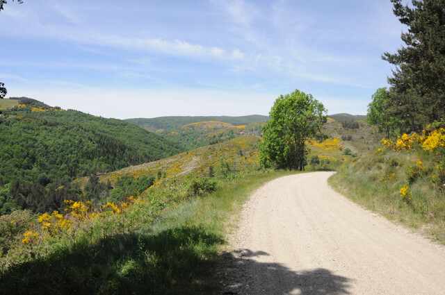
The walk starts with a climb to a col where you continue walking on the draille de Languedoc. The draille is bordered by low walls that are now covered with bushes. The draille has been used by shepherds since the 12th century. In this section, the draille avoids the valleys and stays on the ridge, which made orientation easier for the shepherds. You reach the summit of La Cayla at an altitude of 1068 meters. Here you have a 360 ° panorama on La vallée Longue, the Cévennes and in good weather on the Alps and Mont Ventoux. From the top you follow a part of the draille and then descend to the valley. Here you walk through a chestnut and beech forest. You pass an old pit that was used to catch wild boar. You arrive at the Col des Abeilles. Here too you have a beautiful view of the Cevennes. From the col des Abeilles you walk along a wide, unpaved forest road, passing the old forest house of Solpéran to return to the starting point.
Download PDF for route description.
POI 1 - Col des Abeilles.
Presumably the name col des Abeilles has nothing to do with bees but would come from 'abelier' gathering place for herds.
No additional information.