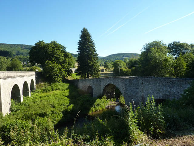
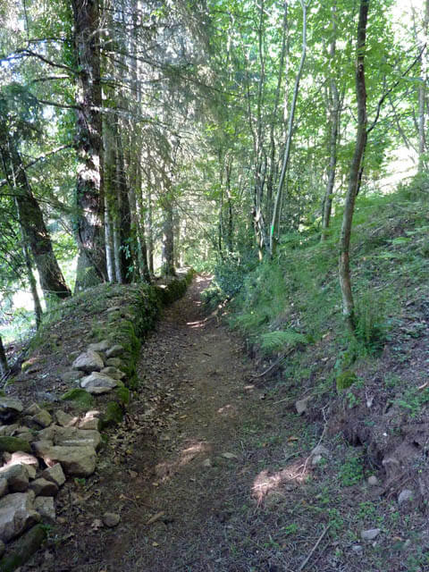
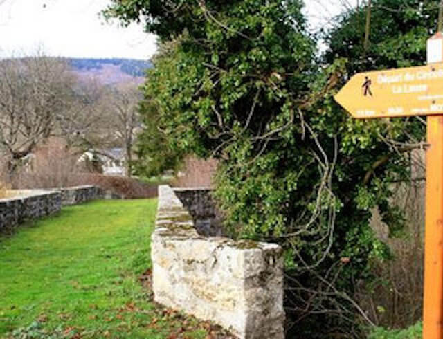
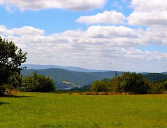
This beautiful walk through the Serre de la Lauze goes for the most part over forest roads and small hiking trails. The walk starts at the cemetery containing La chapelle de St-Etienne-de-Cavall, a chapel from the 12th century and crosses the Pont St-Etienne-de-Cavall, a bridge also from the 12th century.
Distance: 10 km.
Time: 3h00.
Grade: Moderate.
Type: Circular.
Gps Track: Yes.
Route description: Yes.
Wheelchair: Not suitable.
Dog: Allowed.
Height gain: 291 meters.
Trail: Paved and unpaved.
Marking: PR - Yellow dash.
Hiking shoes recommended.
Advertisement.
Serre de la Lauze.
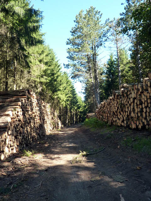
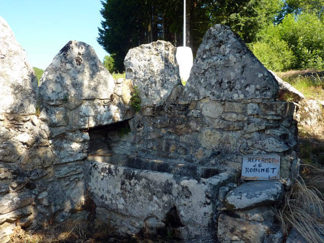
Once you have crossed the old Pont St-Etienne-de-Cavall you walk in the direction of the hamlet of La Végende. There is still an old washing place in the hamlet. You go through the hamlet, through scrubland and meadows, you pass the ruins of Gentounel and you arrive at the col du Pradel. From the col du Pradel you walk to the col d’Empy. Then it continues in the direction of the hamlet of Couffignet. The walk then leads you through forests to the farm La Gachette. From the farm you walk back in the direction of the starting point.
Download PDF for route description.