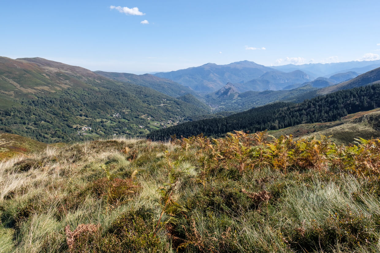
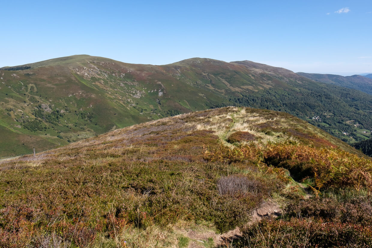
A nice walk from the Col de Port to the Pic d'Estibat where you have a beautiful view of the Pyrenees, mixed forests and green valleys. An ideal walk to get acquainted with the Couserans.
Distance: 4 km.
Time: 2h30.
Grade: Moderate.
Type: Back and forth.
Gps Track: Yes.
Route description: Yes.
Wheelchair: Not suitable.
Dog: Allowed.
Height gain: 414 meters.
Trail: 100% unpaved.
Marking: None.
Hiking shoes recommended.
Advertisement.
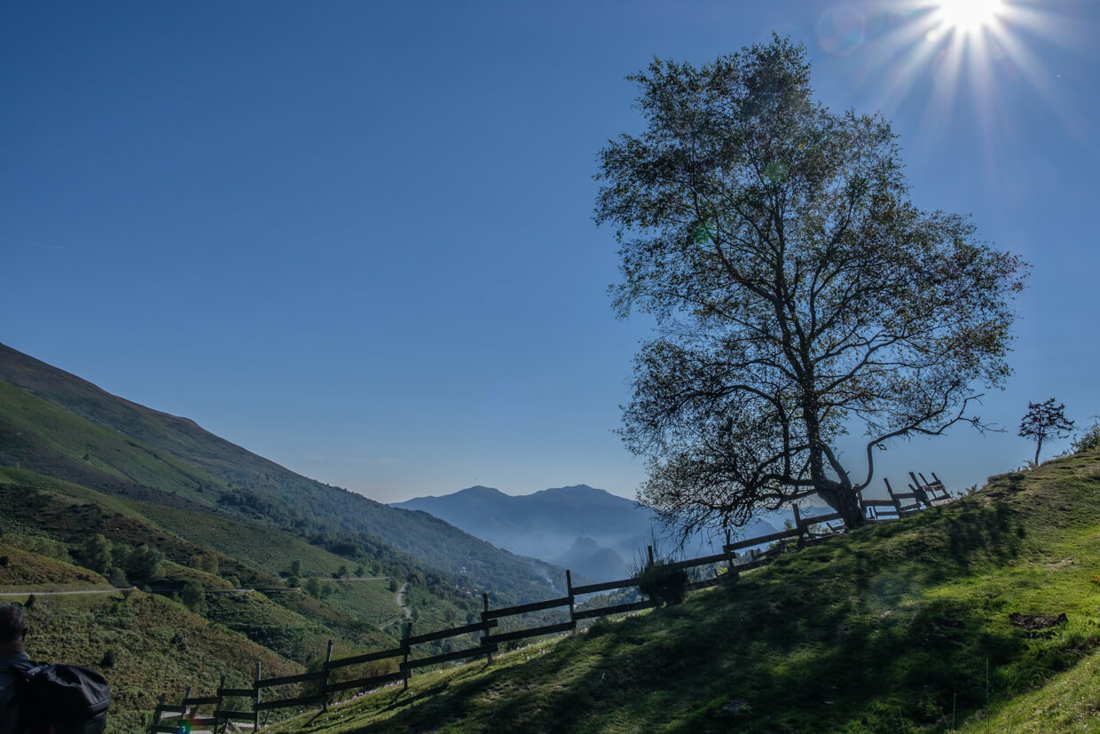
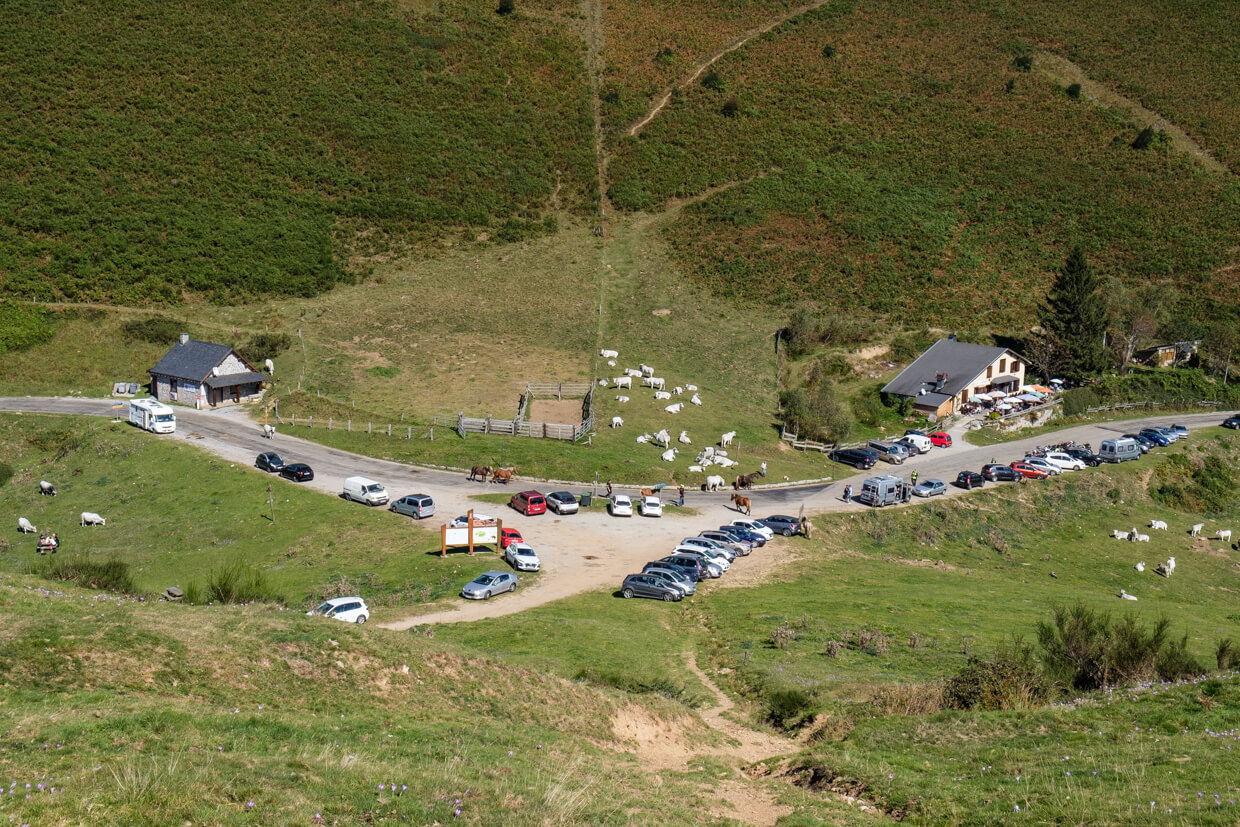
Col de Port.
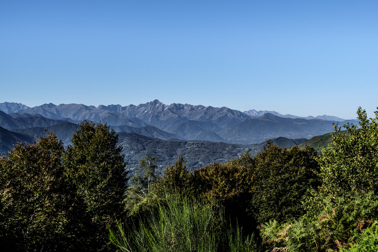
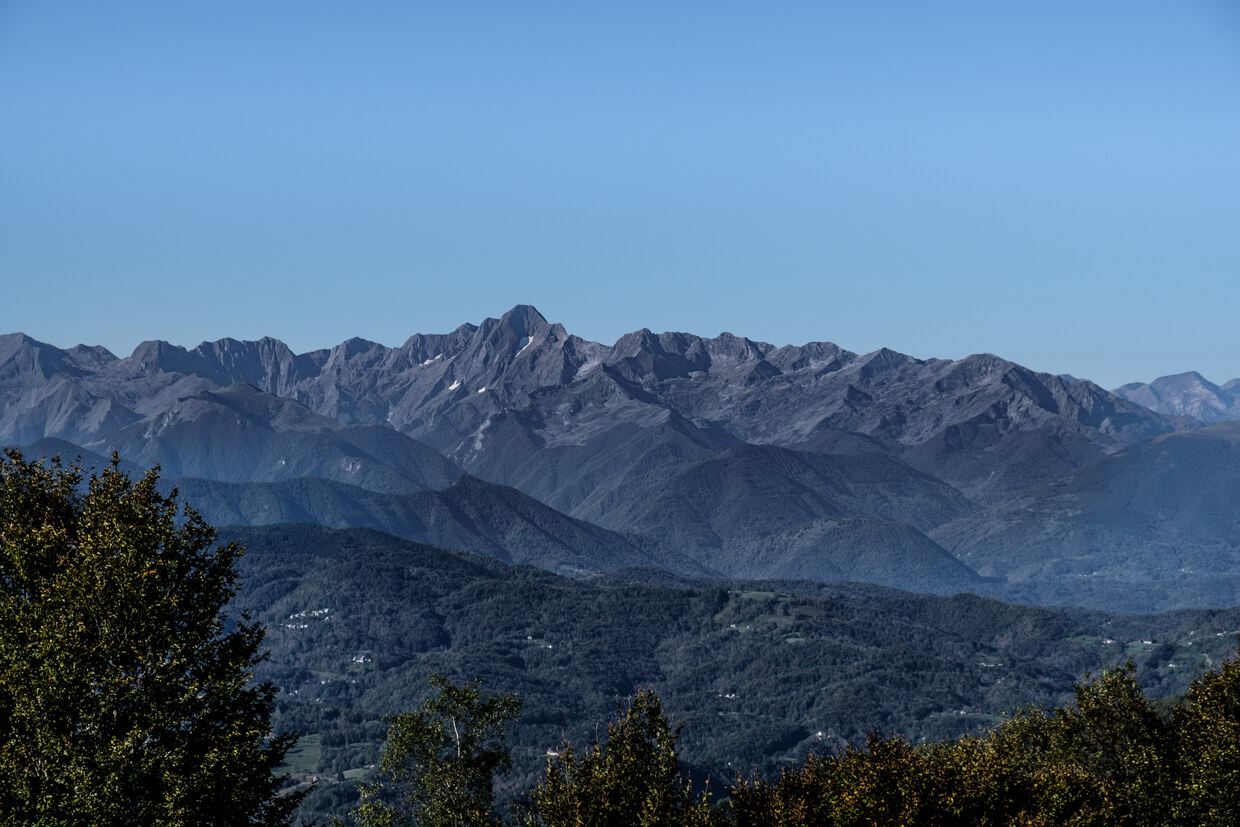
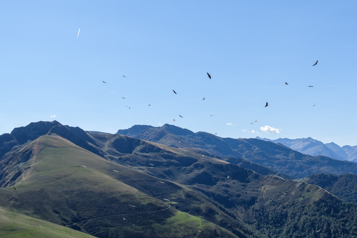
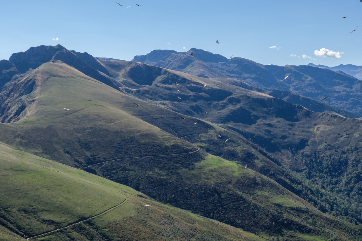
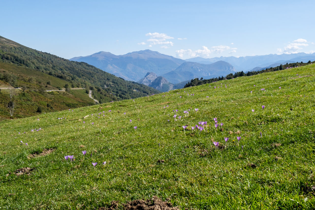
The Col de Port is the link between the Haute-Ariège and Couserans. The Col is a popular stopping point to admire the panorama of the Saurat valley and the Tabe massif. However, when you go to the Pic d'Estibat you get a nice view of Mont Rouch, Mont Valier, Journalade and the whole massif of the Trois Seigneurs on top of it.
Download PDF for route description.
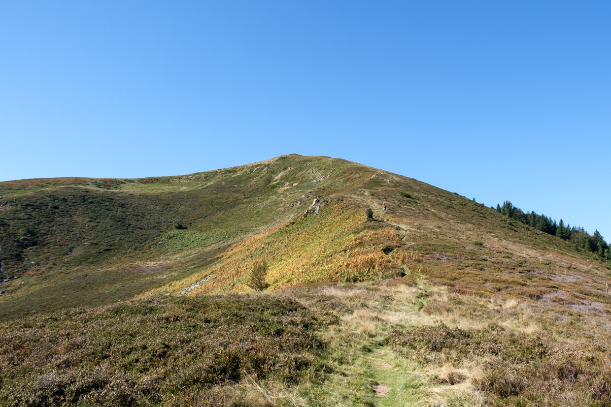
The climb to the Pic d'Estibat is steep.
POI 1 - Pyrénées Ariégeoises.
The Regional Natural Park of the Pyrénées Ariégeoises has about 43,000 inhabitants. Mountains such as Mont Valier, Montcalm and Pique d'Estats reach heights of more than 3000 meters. This vast area with very diverse landscapes and vegetation, will definitely appeal to walkers. There are 38 beautiful viewpoints that can be reached on foot in less than 20 minutes, such as the Col de la Core, the orientation table of Balacet or the Rocher du Lauradou Orus at Auzat. Furthermore, the park has a very extensive prehistoric heritage that is unique in Europe: the caves with wall paintings of Niaux and le Mas d'Azil, which belong to the most beautiful spots of the Midi-Pyrénées. They are part of the collection 'Ariège, 14,000 years of history', together with the castles of Montségur and Foix, and the towns of Saint-Lizier and Mirepoix. The park contributes to the protection of numerous animal species such as chamois, lamb vultures and capercawns.
Natural Park of the Pyrénées Ariégeoises.
www.parc-pyrenees-ariegeoises.fr