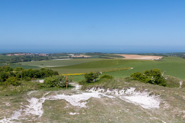
This walk on the Opal Coast is all about beautiful views with the literal and figurative highlight of Mont De Couple where you have a unique view of the Bay of Wissant, the chalk cliffs of Cap Blanc-Nez and Gris-Nez and the hinterland of Boulogne and Calais.
Distance: 9 km.
Time: 2h30.
Grade: Moderate.
Type: Circular.
Gps Track: Yes.
Route description: Yes.
Wheelchair: Not suitable.
Dog: Allowed.
Height gain: 261 meters.
Trail: Paved and unpaved.
Marking: See PDF route description.
Hiking shoes recommended.
Advertisement.
Le Mont De Couple.
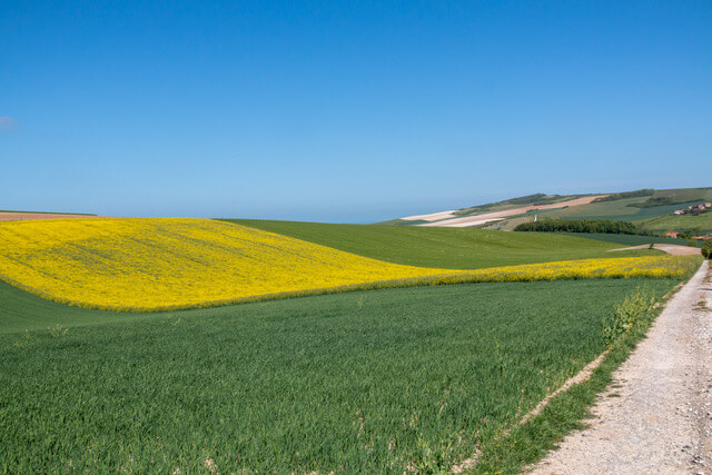
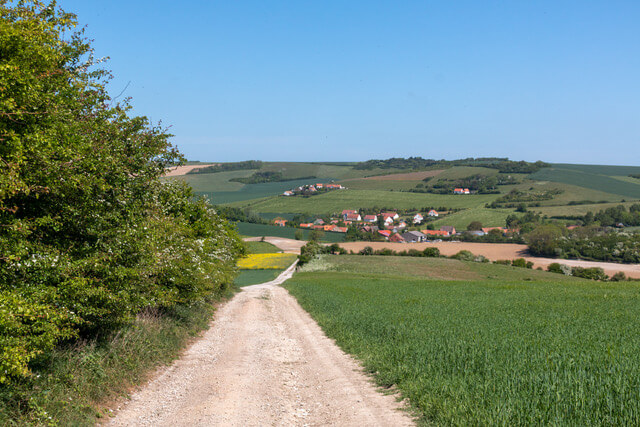
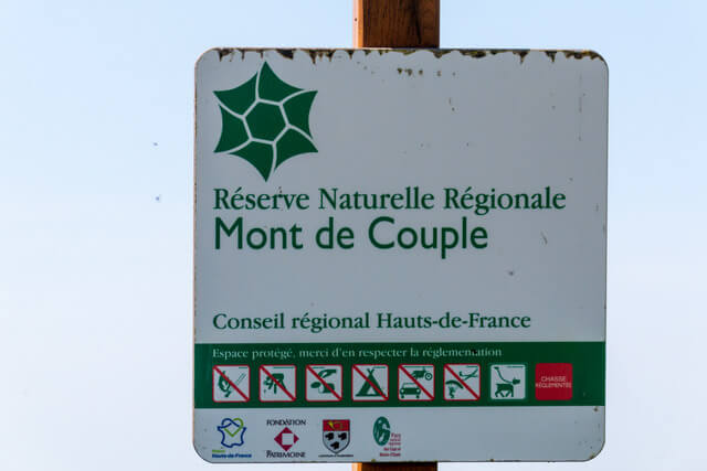
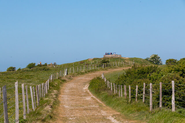
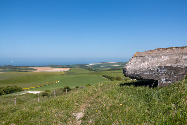
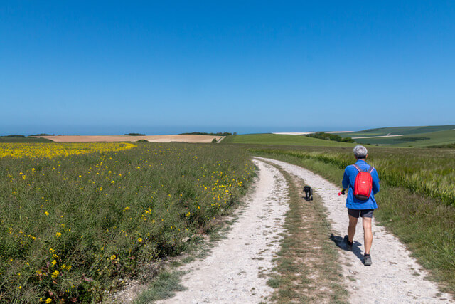
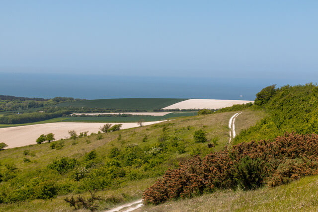
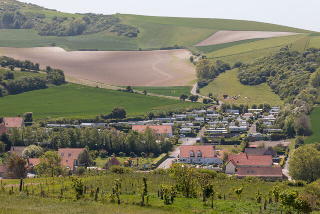
The route starts through the village of Hervelinghen and continues through open countryside to the top of Mont De Couple at an altitude of 163 meters. At the top there is an orientation table and you have a beautiful view of the Bay of Wissant and the limestone cliffs of Cap Blanc-Nez and Cap Gris-Nez. The Mont De Couple nature reserve covers 14 hectares and is home to a rare fauna and flora. With one of the highest peaks on the coast, Mont De Couple inevitably served as a German observation post during World War II. The remains of the bunkers and underground galleries are still visible. They are now a home for bats. Furthermore, the route follows a part of the GR128, after which you can enjoy the rolling landscape on unpaved paths and traffic-calmed roads.
Download PDf for route description.