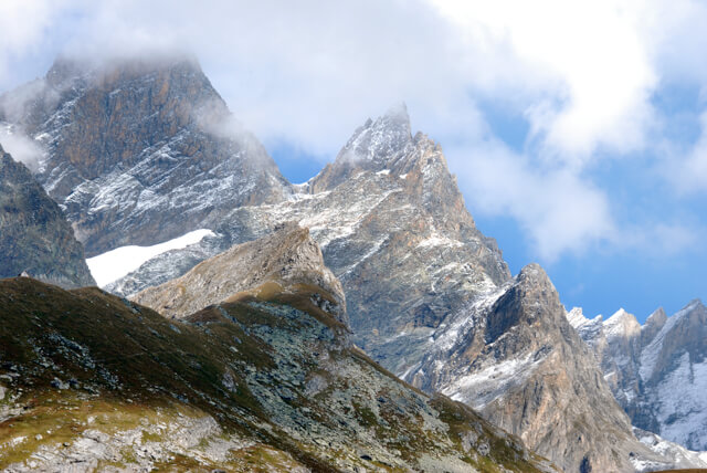
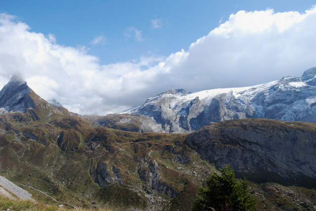
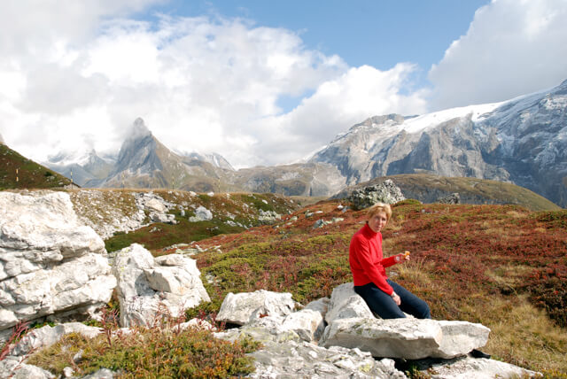
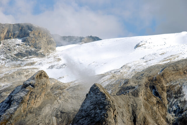
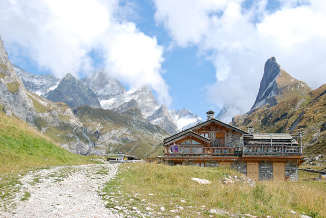
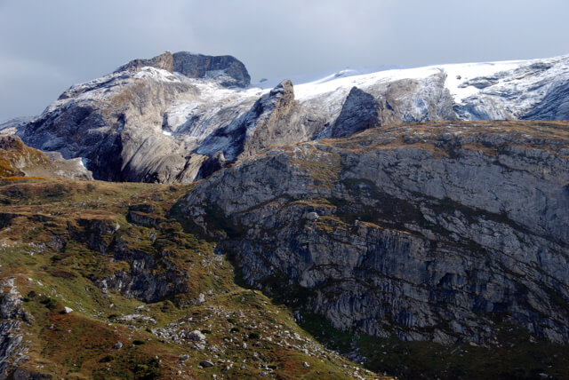
This walk takes you along the GR55 to the refuge des Barmettes, at the refuge is an information panel about the old salt route to the col de la Vanoise. From the refuge you climb to Mont Bochor at an altitude of 2000 meters. At the viewpoint on Mont Bochor you have a beautiful panorama of the valley of Pralagnon and the glaciers of the Vanoise.
Distance: 6 km.
Time: 2h30.
Grade: Moderate.
Type: Circular.
Gps Track: Yes.
Route description: Yes.
Wheelchair: Not suitable.
Dog: Allowed.
Height gain: 580 meters.
Trail: 99% unpaved.
Marking: Partial GR55.
Hiking shoes recommended.
Advertisement.
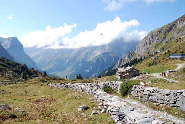
Refuge des Barmettes.
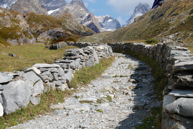
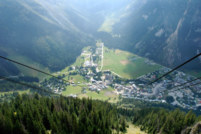
The walk starts from the parking lot and follows the GR55 in the direction of the refuge des Barmettes. At the refuge there is an information board that gives more information about the rich history of the old salt route that ran over the Col de la Vanoise. Behind the refuge you see the path with restored walls that leads to the Col de la Vanoise. However, this route goes from the refuge towards the col Rosset. Once the climb is over, you enter the ski resort of Pralognan-la-Vanoise. Here the route descends to the end station of the cable car on Mont Bochor. At the viewpoint on the cable car station you have a beautiful view of the valley and the Vanoise in general. From Mont Bochor the descent begins through the Bois Des Flottes to the starting point.
Download PDF for route description.
The ski infrastructure is never far away during this hike.
You can also follow the alternative route via the panorama path so that you have to make fewer altimeters. See PDF route description.