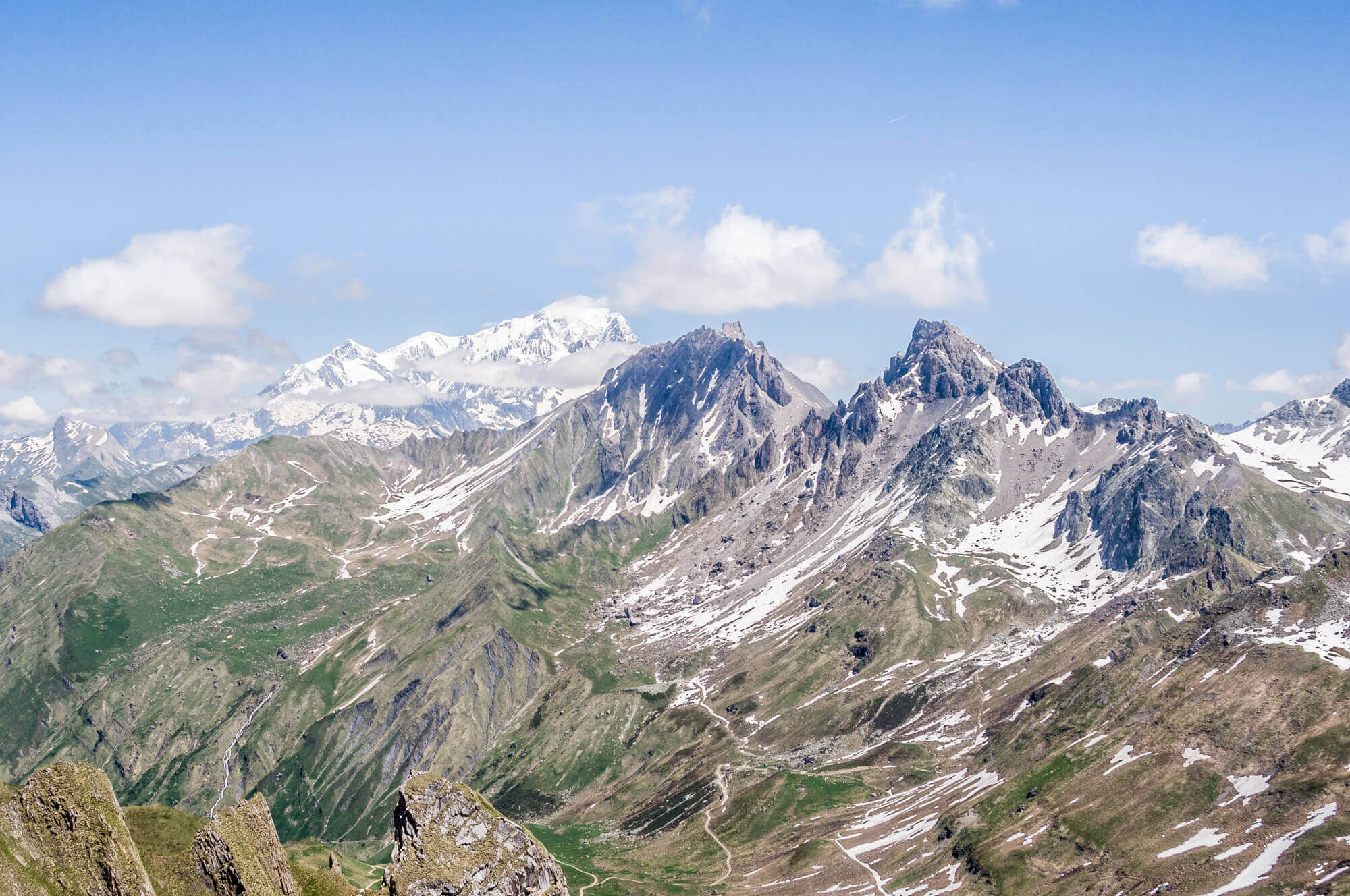
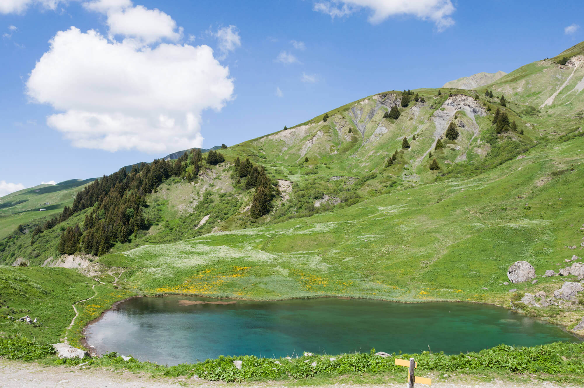
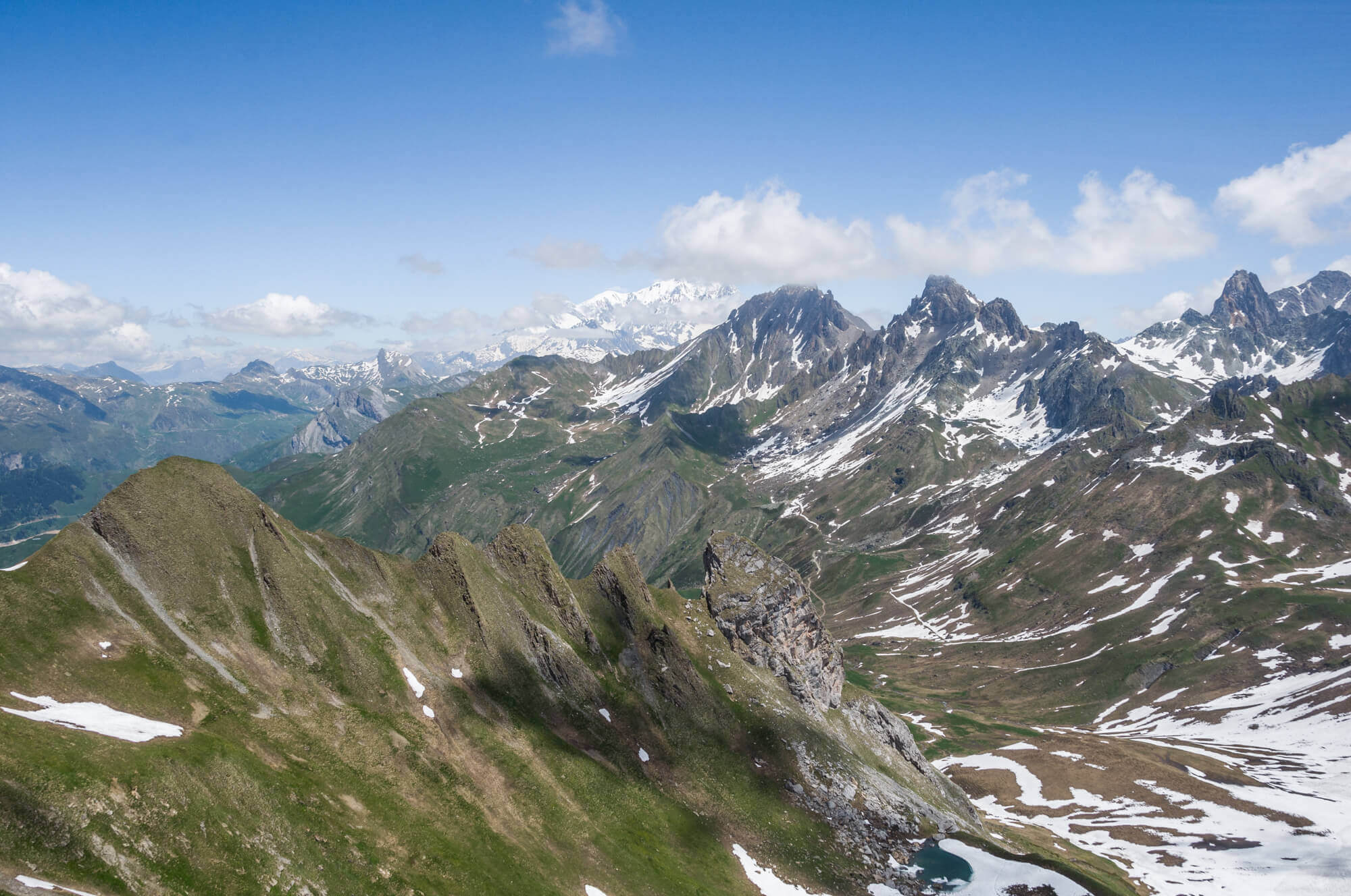
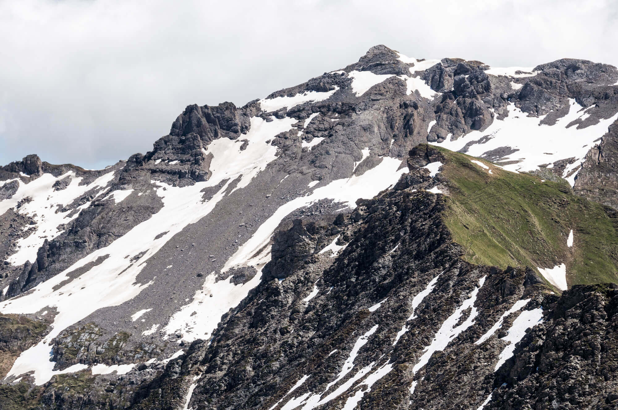
A beautiful walk from the picturesque Lac des Fées to the top of the Mont Coin at an altitude of 2539 meters where you have a 360 degree panorama with eye-catchers the Pierra Menta, Aiguille du Grand Font and the Mont Blanc.
Distance: 9 km.
Time: 3h30.
Grade: Moderate.
Type: Back and forth.
Gps Track: Yes.
Route description: Yes.
Wheelchair: Not suitable.
Dog: Allowed.
Height gain: 693 meters.
Trail: 100% unpaved.
Marking: Yellow dash.
Hiking shoes recommended.
Advertisement.
Mont Coin.
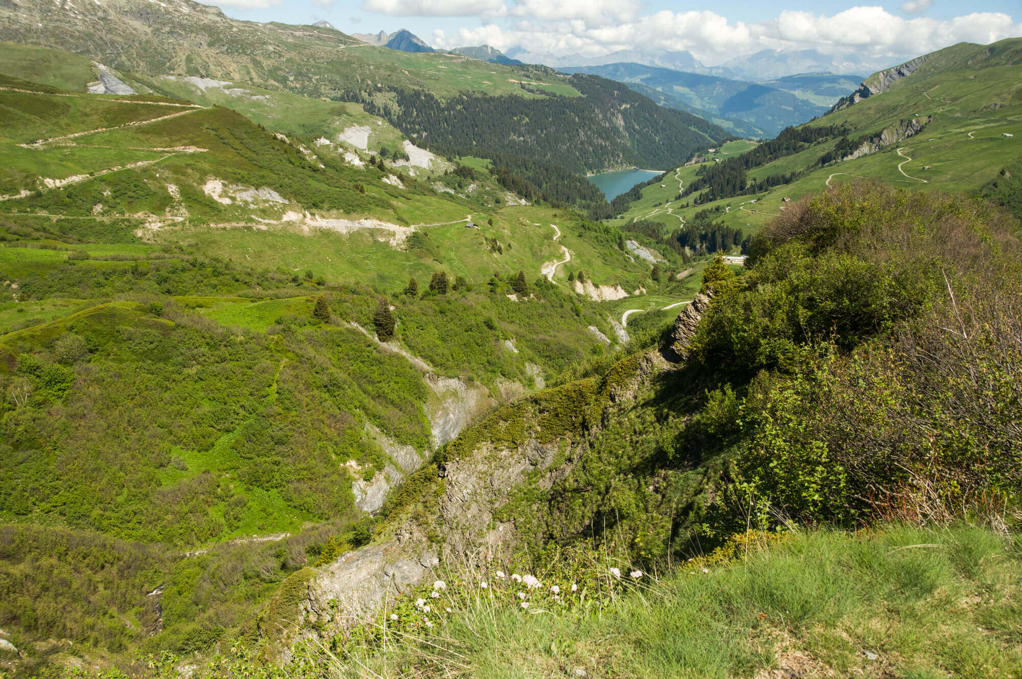
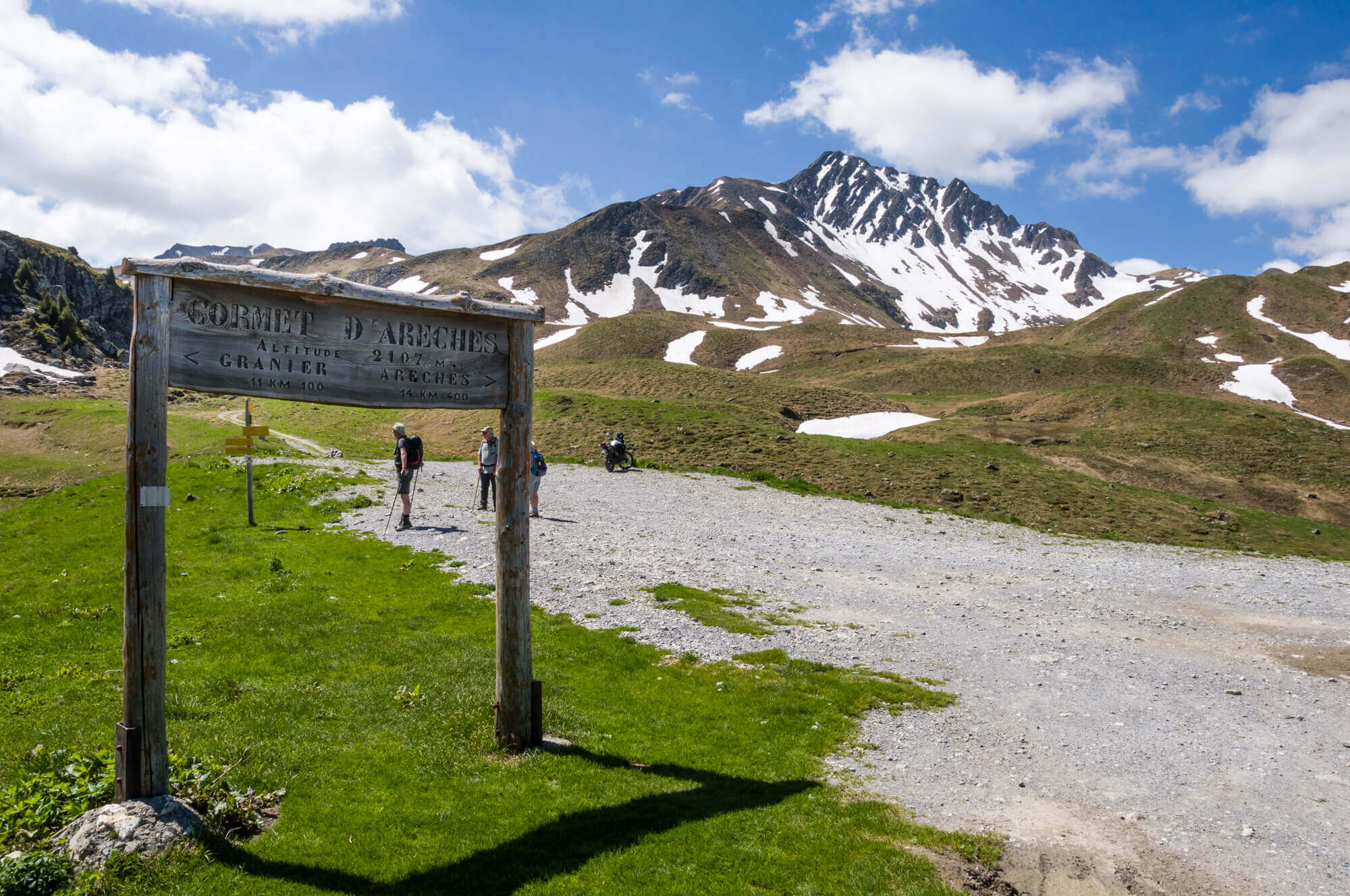
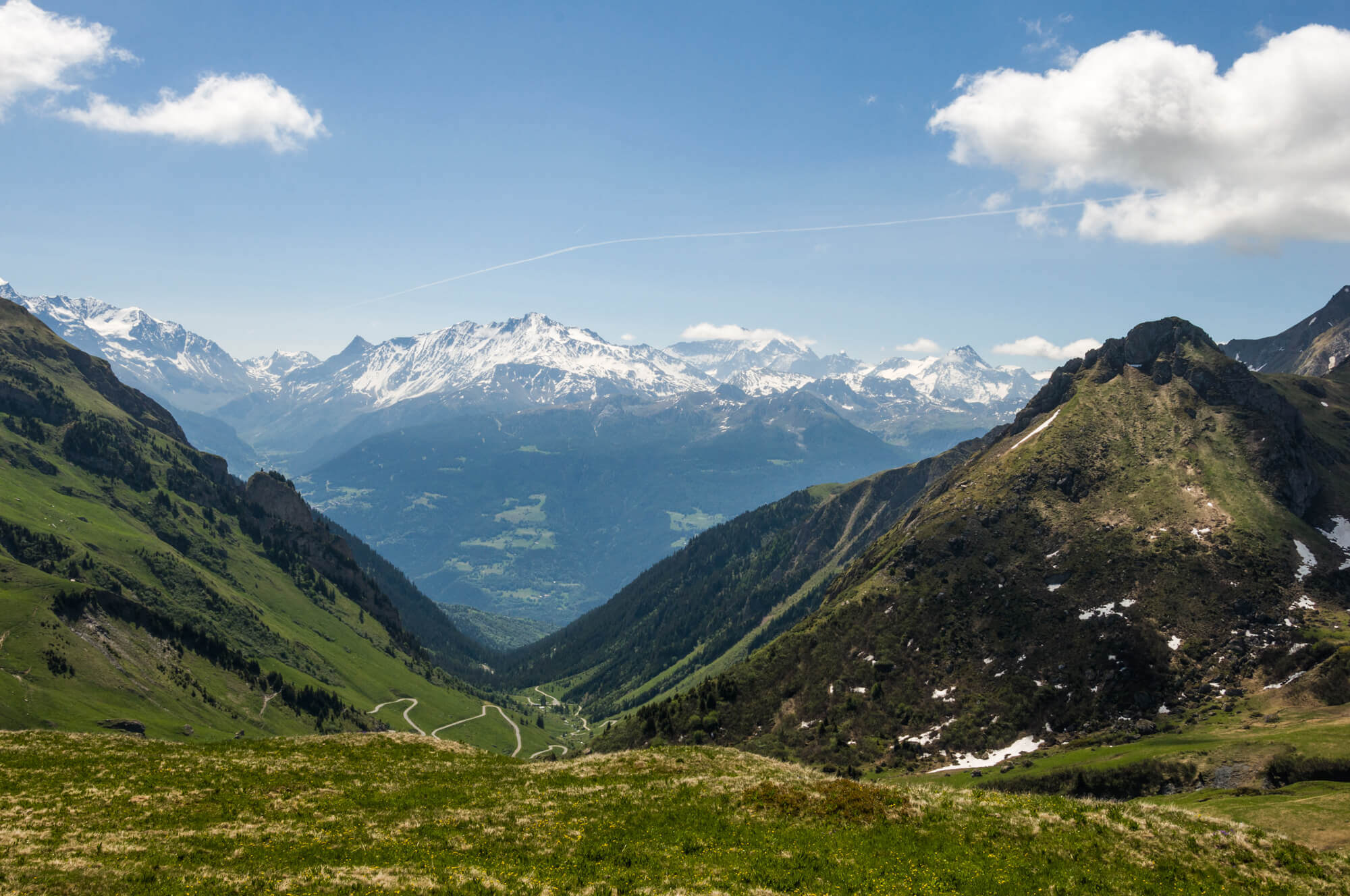
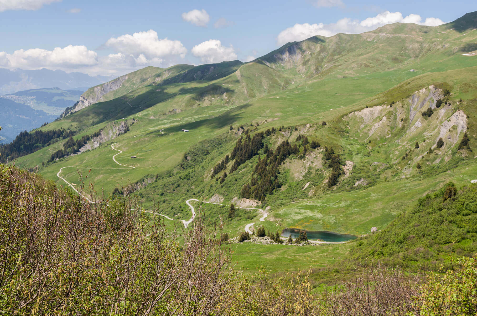
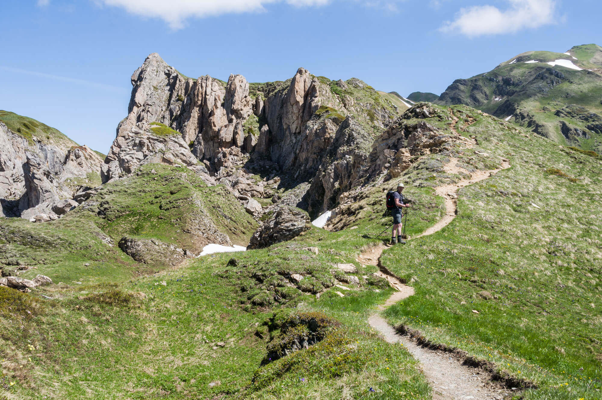
The route leaves at the Lac des Fées and you soon follow a small steep path that eventually leads to a dirt road that goes to Cormet d'Arêches. At Cormet d'Arêches you leave the dirt road and climb to the Croix du Berger. On the cross it is nice to just enjoy the view or to pause. Then it continues to the Plan de la Marmotte, where you will surely hear and see the animals. After the plain it goes steeply up towards the top of the Mont Coin. There it is pure enjoyment of the 360 degree panorama. You return to the starting point via the same route.
Download PDF for route description.
Period: From the beginning of June to November in the absence of snow.
POI 1 - Pierra Menta.
The Pierra Menta is a mythical summit in the massif of the Beaufortain, although secondary due to its height (2,714 m). The name comes directly from the Franco Provençal Perrâ mentâ, mounted stone. It consists of a huge monolithic vertical wall of about 120 meters at the top of a rocky ridge. According to legend, the giant Gargantua kicked a piece of the Aravis massif into the heart of Beaufortain, opening the entrance to the Aravis massif.
No additional information.