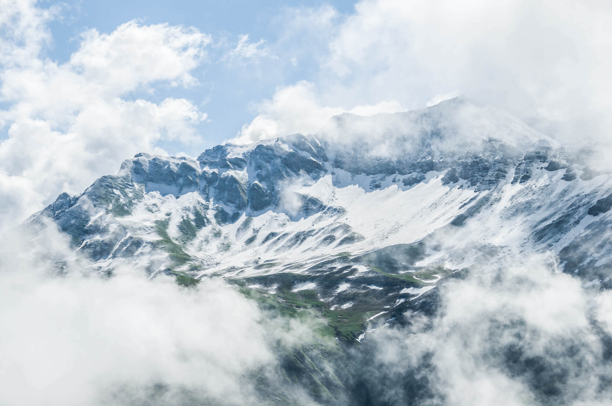
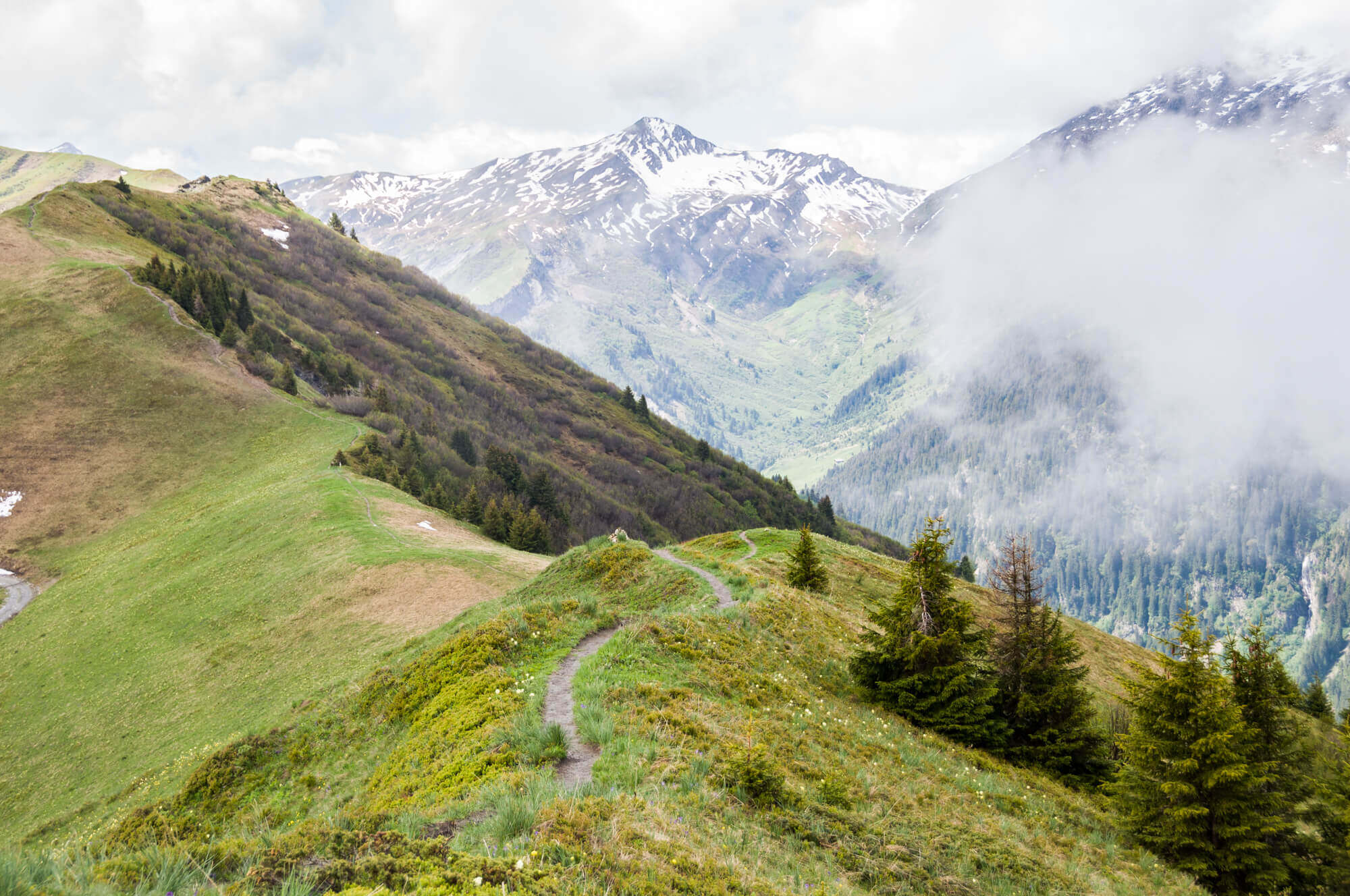
This walk goes to La Roche Parstire at an altitude of 2108 meters, in good weather you have a beautiful view of the Lac de Roseland, the Mont Blanc massif, Le Grand Mont and La Pierra Menta. La Roche Parstire is a mountain range with two faces, steep cliffs on the side of Arèches and gently sloping alpine meadows on the side of Roselend.
Distance: 9 km.
Time: 3h30.
Grade: Moderate.
Type: Circular.
Gps Track: Yes.
Route description: Yes.
Wheelchair: Not suitable.
Dog: Allowed.
Height gain: 480 meters.
Trail: 100% unpaved.
Marking: Yellow dash.
Hiking shoes recommended.
Advertisement.
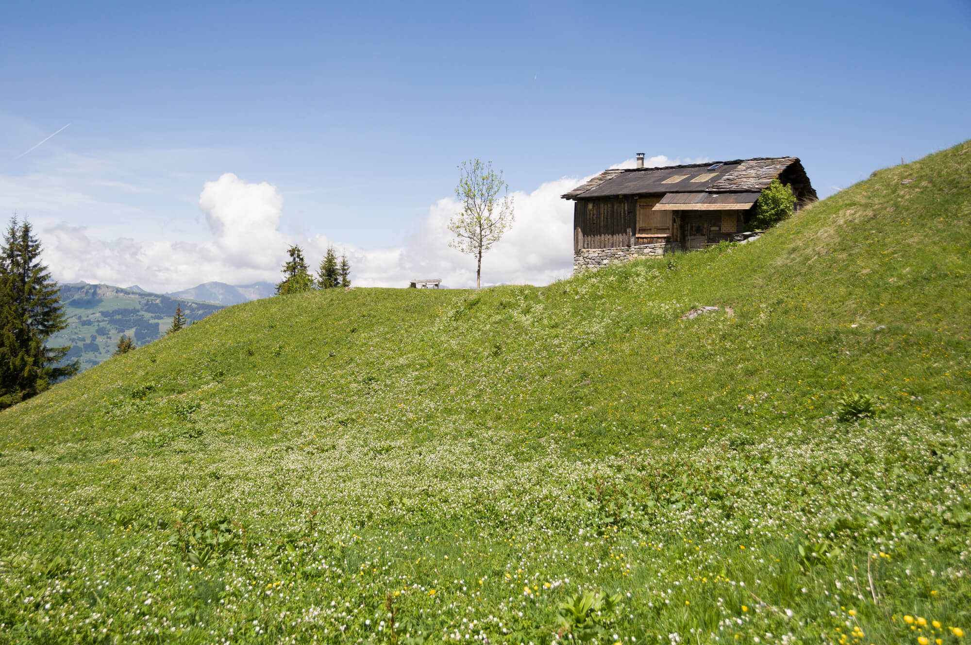
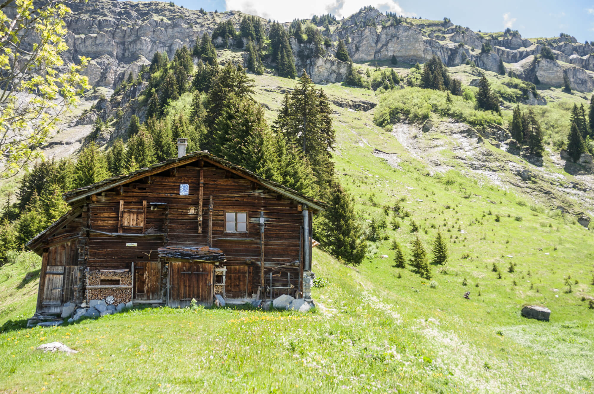
Chalet des Bouchets.
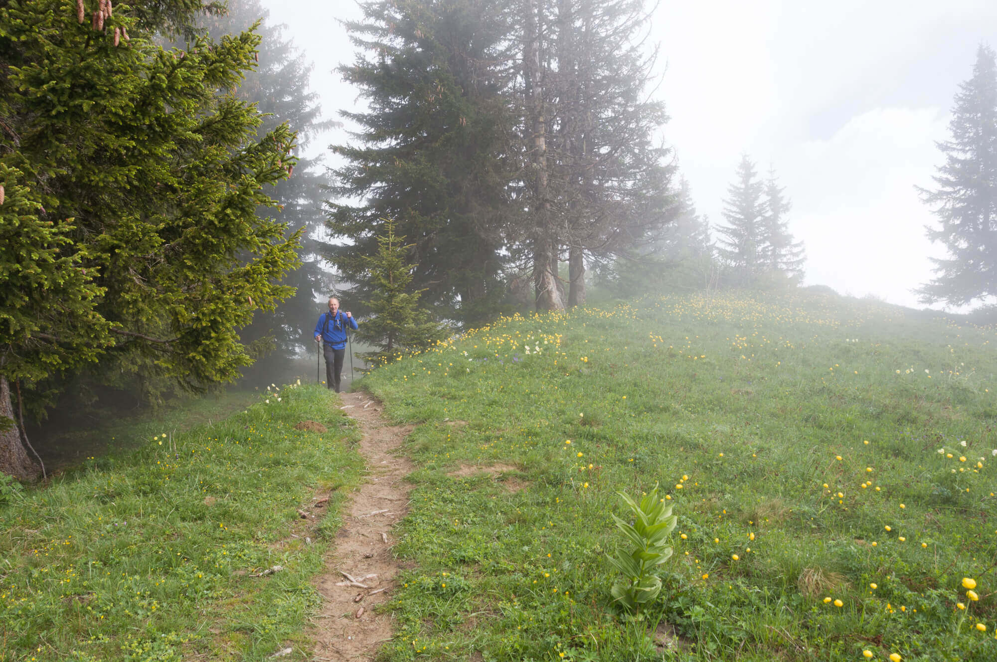
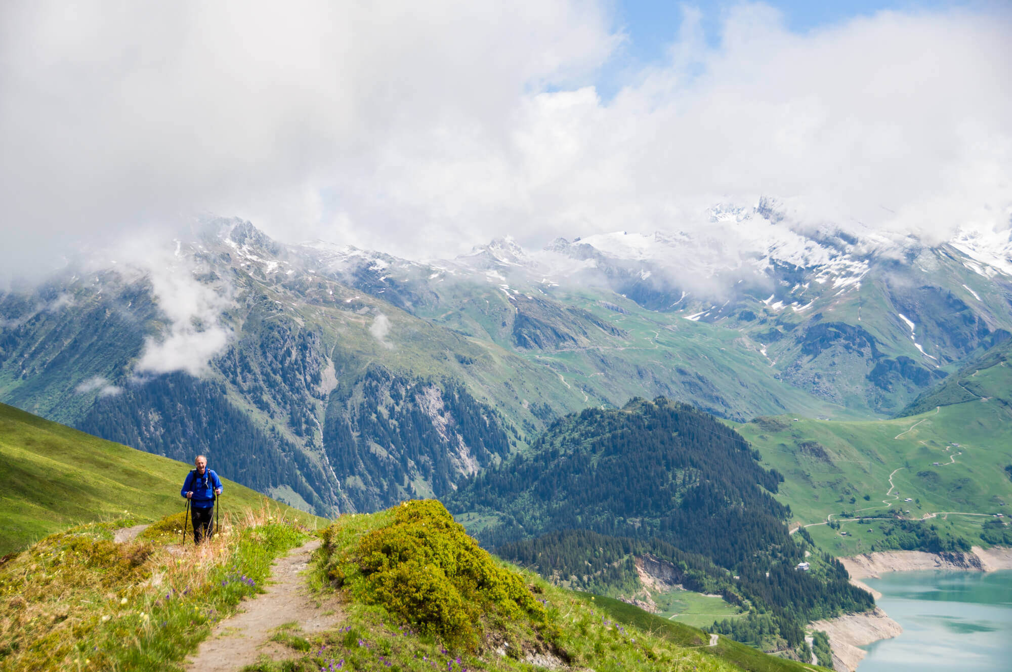
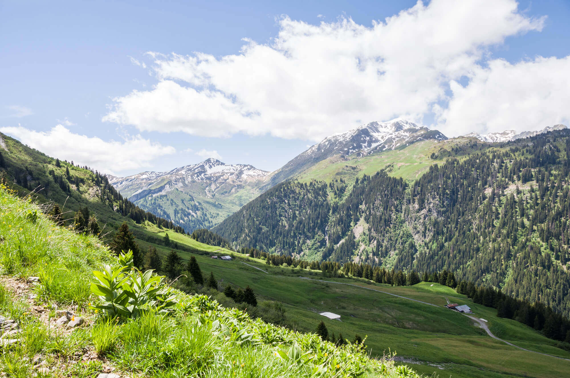
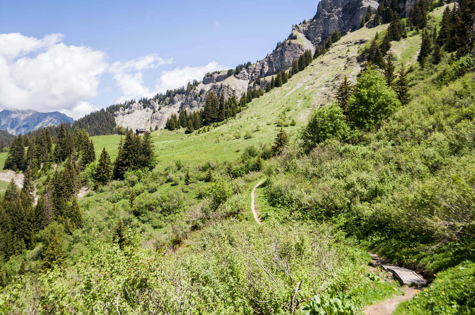
First you walk through a beautiful forest until you reach the so-called antecime, here you follow the edge of the cliff to the crest of the Roche Parstire. At the top you have a beautiful panorama on both valleys. Continue to follow the ridge up to the Passage de la Charmette and descend towards the Chalet des Bouchets. At the beautiful chalet is a bench that really invites you to enjoy the view. From the chalet it goes back to the starting point via a botanical path.
Download PDF for route description.
From May to November in the absence of snow.
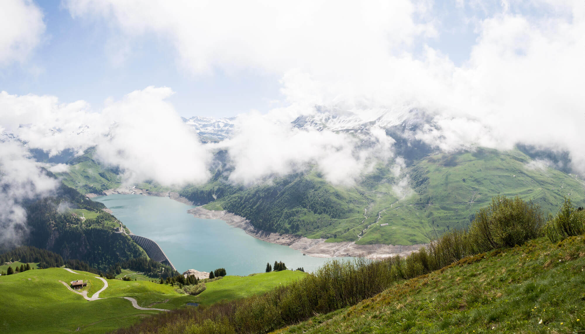
POI 1 - Dam of Roselend.
The dam of Roselend feeds together with La Gittaz and St Guérin the power station of La Bâthie. It is located in the middle of the alpine meadows, not far from the Mont Blanc, and is a wonderful place for walking. It is the 4th highest dam in France.
No additional information.