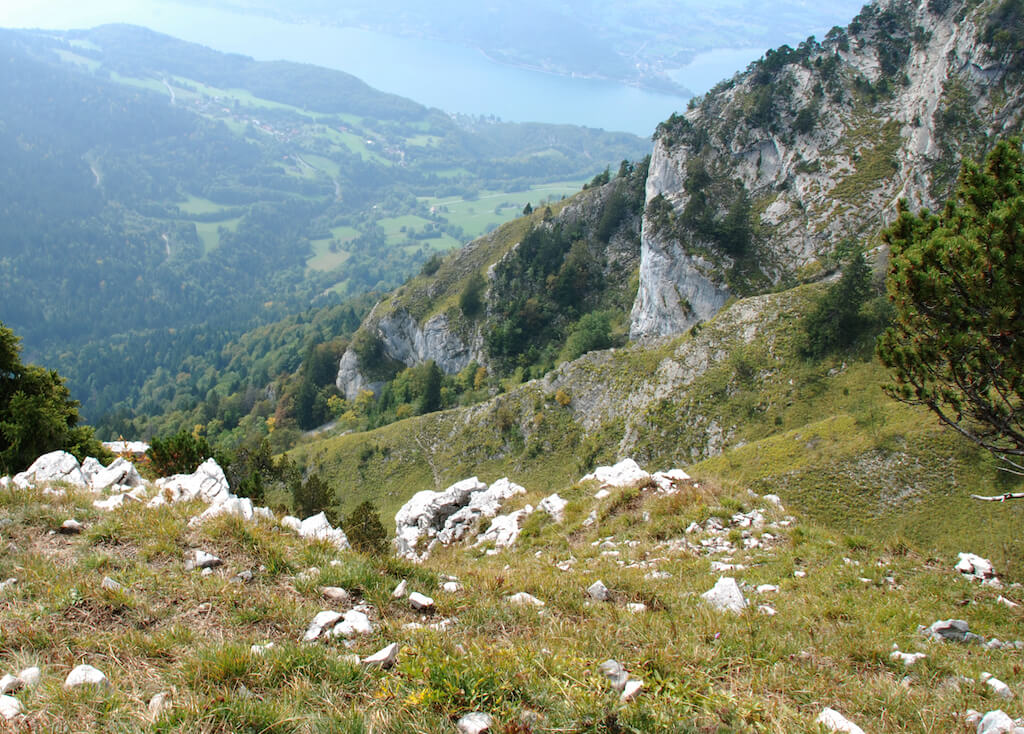
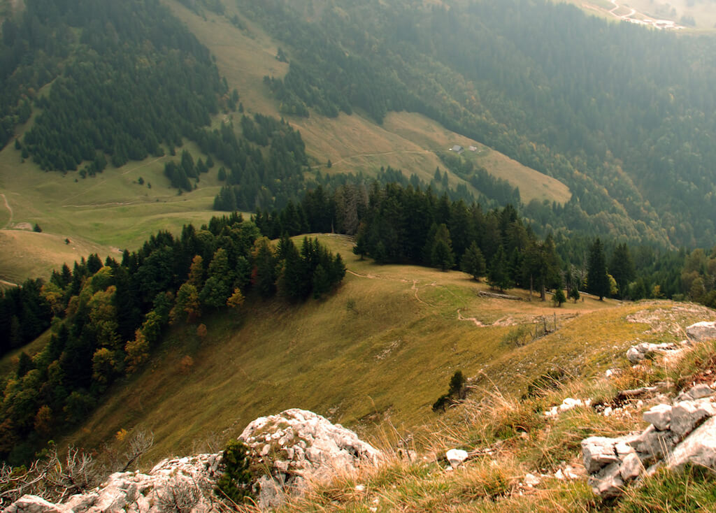
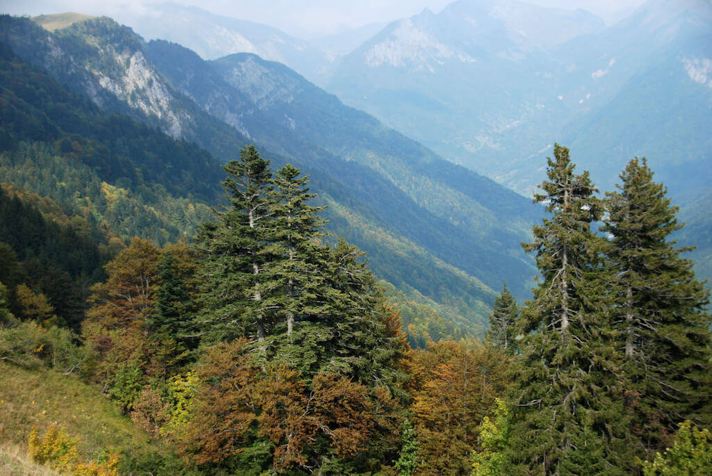
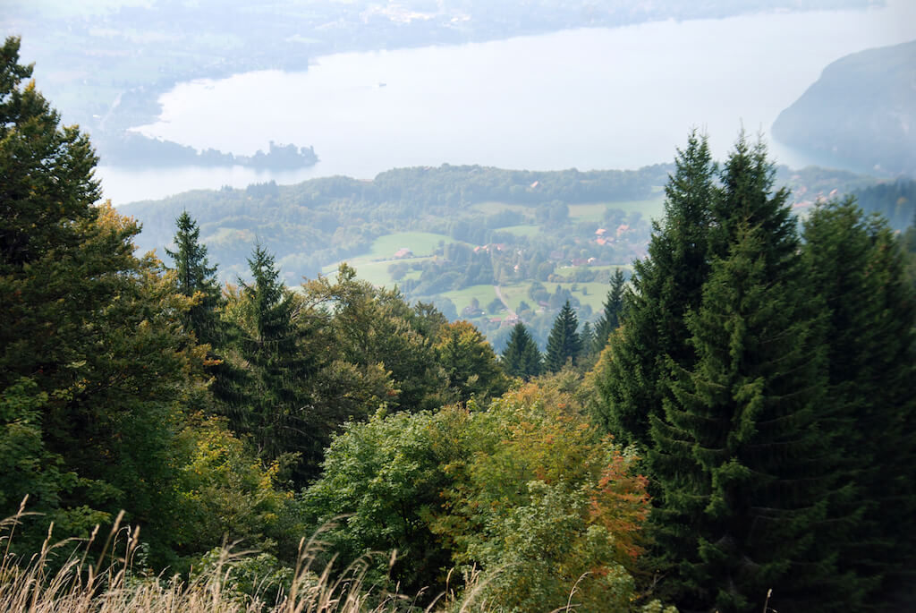
The Lanfonnet is the goal of this walk which is much easier than the climb of his neighbor the 'Dents de Lanfon'. Nevertheless, the panorama on Lake Annecy is fantastic. On the col des Nantets the view of the Montremont valley is also impressive.
Distance: 9 km.
Time: 3h30.
Grade: Moderate.
Type: Back ad forth.
Gps Track: Yes.
Route description: Yes.
Wheelchair: Not suitable.
Dog: Allowed.
Height gain: 492 meters.
Trail: 100% unpaved.
Marking: Signs and GR96
Hiking shoes recommended.
Advertisement.
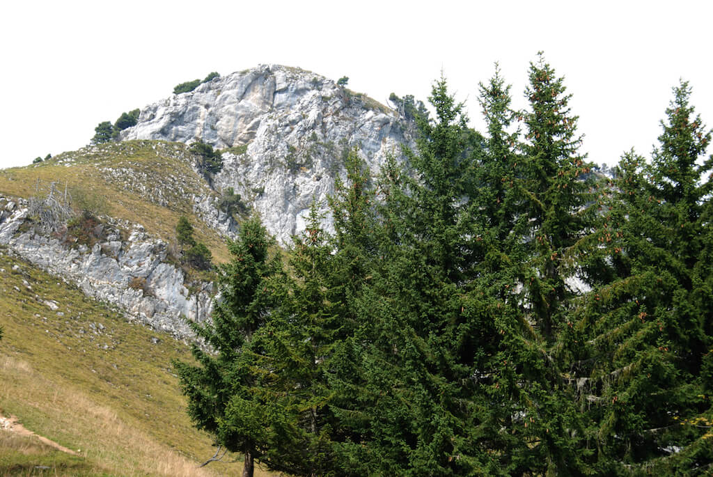
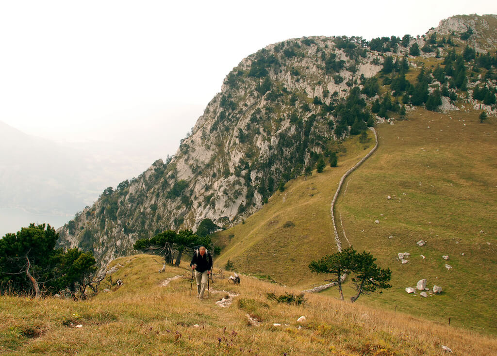
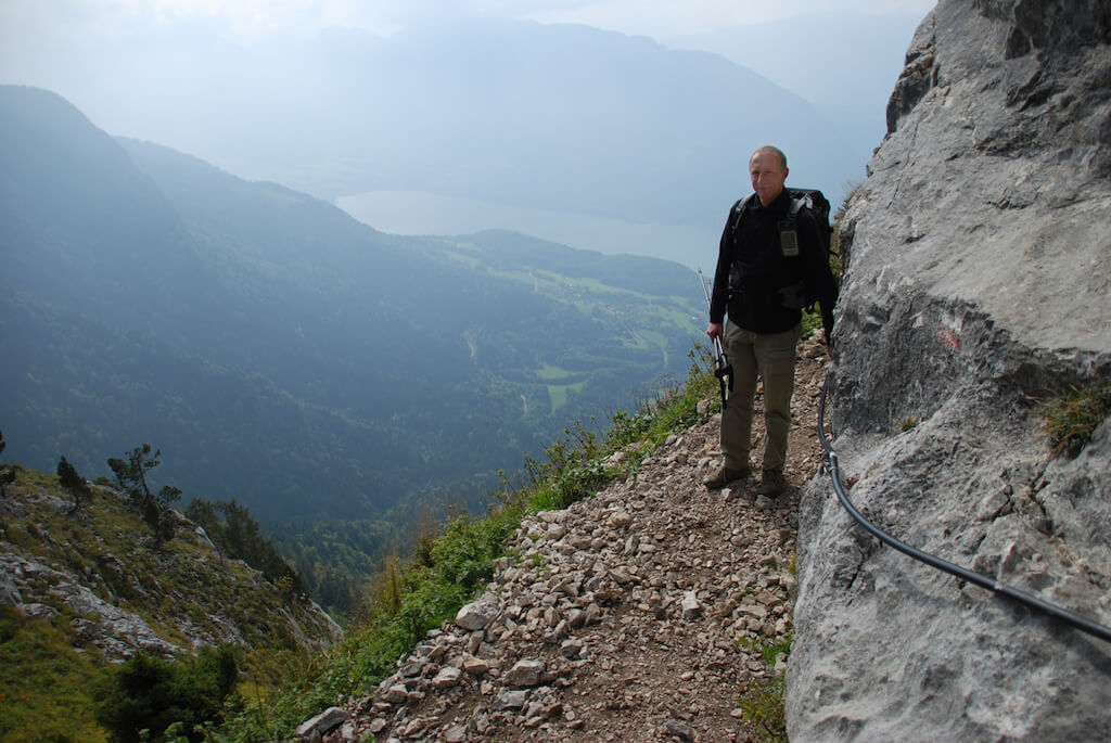
Roc Lancrenaz.
From the parking lot just in front of Prés Rond it goes via an unpaved road, sometimes cut off by a walking path, in the direction of the Chalet de l'Aulp. At the Chalet you follow the GR96 through a forest in the direction of the Chalets des Crottes. Here begins a climb to the Col des Nantets. On the Col it goes via the Chalets des Nantets to the Roc Lancrenaz where a secured passage crosses your path. Just past the Roc de Lancrenaz you leave the GR96 and follow the crest up to Le Lanfonnet. You return to the starting point via the same route.
Download PDF for route description.
The secured passage on the Roc Lancrenaz is very safe but not recommended for people with vertigo.
POI 1 - The Bornes massif.
The Bornes massif is located in the French Alps. The Tournette massif is part of this massif and the Tournette (2351 m) is the highest mountain around Lake Annecy.
No additional information.