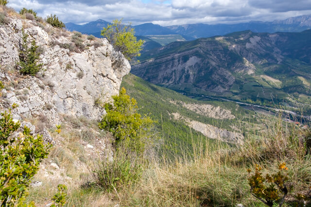
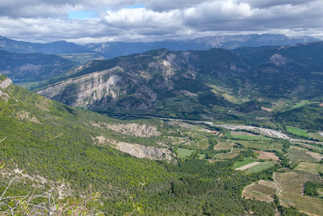
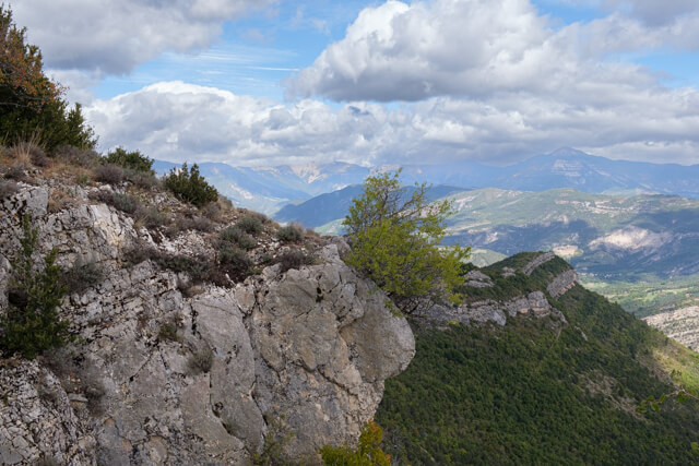
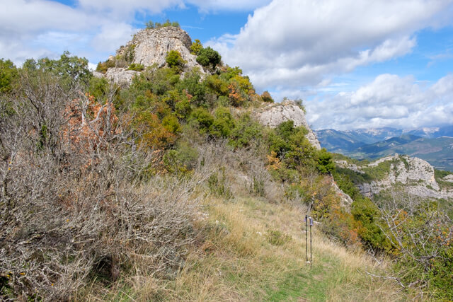
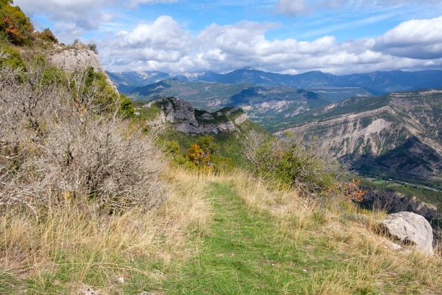
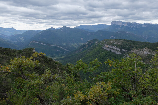
Nice walk through forest in the massif of the Grand Barry with beautiful views on the way of the Vercors, the plateau d'Ambel, Les Trois Becs and the Diois region. At the ruins of the Chateau de Barry you can have a picnic with a beautiful view as a backdrop.
Distance: 13.5 km.
Time: 3h00.
Grade: Moderate.
Type: Circular.
Gps Track: Yes.
Route description: Yes.
Wheelchair: Not suitable.
Dog: Allowed.
Height gain: 622 meters.
Trail: 90% unpaved.
Marking: Yellow dash.
Hiking shoes recommended.
Advertisement.
Massif of the Grand Barry.
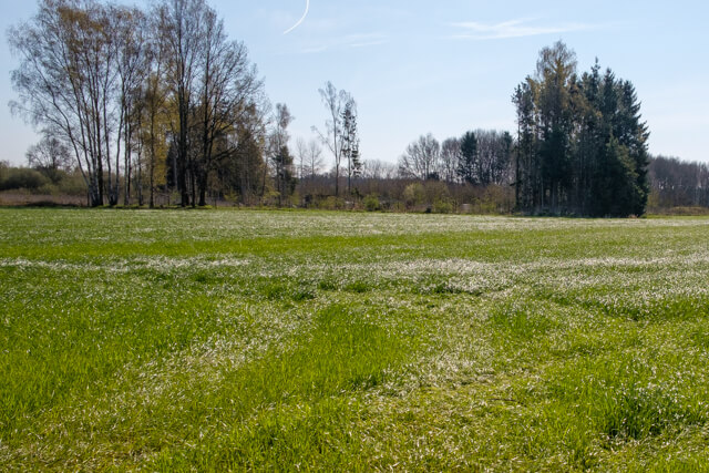
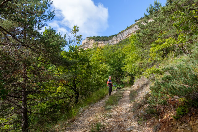
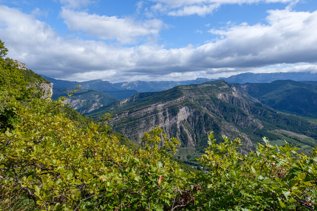
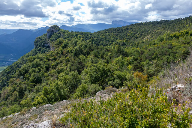
The route starts in the hamlet of Le Temple and goes on paved and dirt roads between the vineyards in the direction of the forest. Here you start a steep climb to the ridge. Once you are at a height you get beautiful views of the valley of the Drôme and Les Trois Becs. At an altitude of 960 meters you can go back and forth to the ruins of the Chateau de Barry. At the extreme point you have two beautiful viewpoints from where you can see the Vercors, the plateau d'Ambel, the valley of the Drôme, les Baronnies and Diois region, an ideal place for a picnic. After your visit to the ruins it continues through forest and you begin the descent through a ravine until you reach the hamlet again.
Download PDf for route description.
Well marked.
Walk on the south flank where it can be very hot in summer despite the many paths through forest.