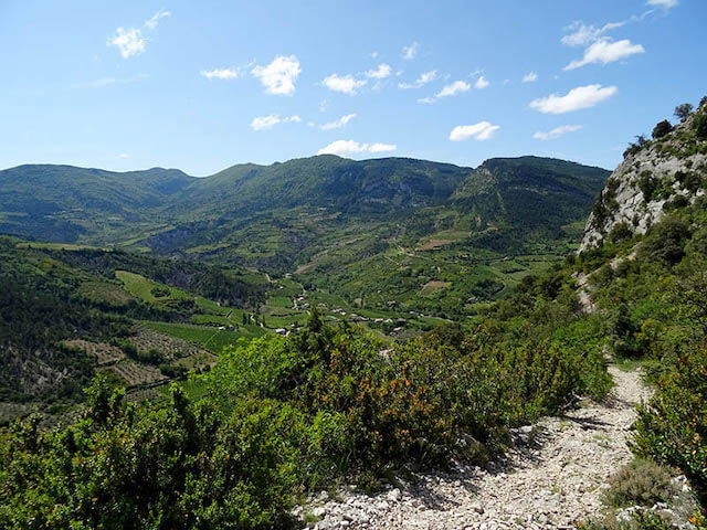
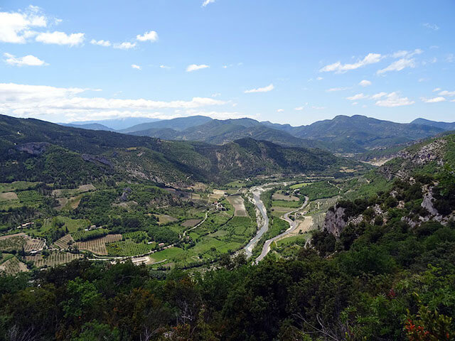
This walk goes high above the valley of the Eygues to the Col de la Bergerie. From the Col you walk through a beautiful forest to Le Marcel and further along the ridge of the Devès with beautiful views. If you are lucky, griffon vultures float with you on your journey.
Distance: 6 km.
Time: 2h30.
Grade: Moderate.
Type: Circular.
Gps Track: Yes.
Route description: Yes.
Wheelchair: Not suitable.
Dog: Allowed.
Height gain: 374 meters.
Trail: Paved and unpaved.
Marking: Yellow and red dash.
Hiking shoes recommended.
Advertisement.
Top of the Devès
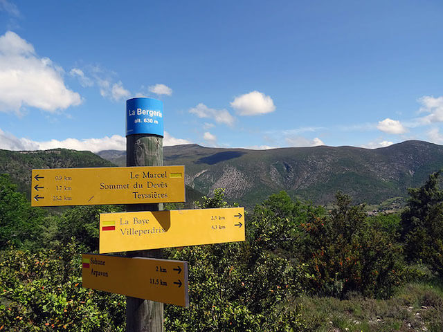
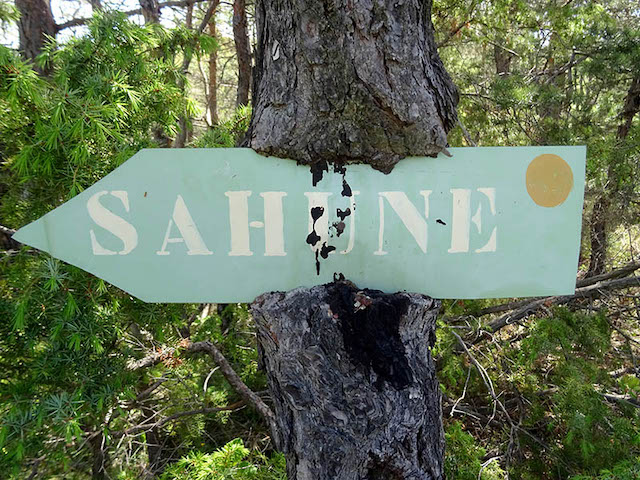
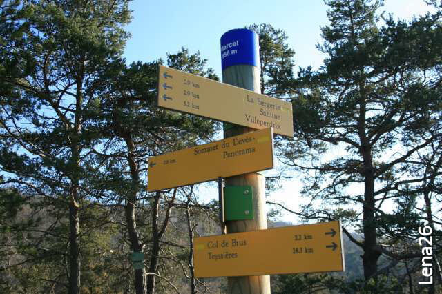
From the parking lot the road climbs slowly through the olive groves. The path is indicated by the number 65, which is not always clear. Follow the path to a large intersection and turn left, to a rusty car wreck. There the dirt road turns into a path and it continues above the valley of the Eygues to the Col de la Bergerie. Here the view of the top of the Angèle is the eye-catcher. From the Col de la Bergerie it continues in the direction of Le Marcel through a forest of pines, oaks and boxwood. At Le Marcel you can decide whether to follow the yellow mark directly to Sahune. This is the easy route. Or choose the red mark to go to the top of the Devès via the ridge, where you have a beautiful panorama. The descent of the red route is quite steep and is full of loose stones, some tread certainty is a requirement here. Take the yellow route if you are not sure, but then you will miss the beautiful panoramas. After the steep descent, the path leads to an orchard with olive trees. Via a residential area you then reach the road that brings you back to the parking lot.
Download PDF for route description.
Some step security required. If you are unsure folow the yellow route.