A shady walk that starts at the lake of Lésines and then goes towards the hamlet of Vaux-Saint-Sulpice. After the hamlet you walk into the Fôret de Rouge to return via the hamlet of Grand Derget to the starting point.
Distance: 10 km.
Time: 3h00.
Grade: Easy.
Type: Circular.
Gps Track: Yes.
Route description: Yes.
Wheelchair: Not suitable.
Dog: Allowed.
Height gain: 337 meters.
Trail: Paved and unpaved.
Marking: Blue and Yellow-Red GRP.
Hiking shoes recommended.
Advertisement.
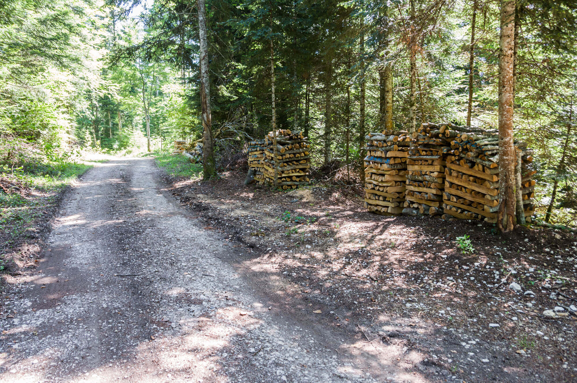
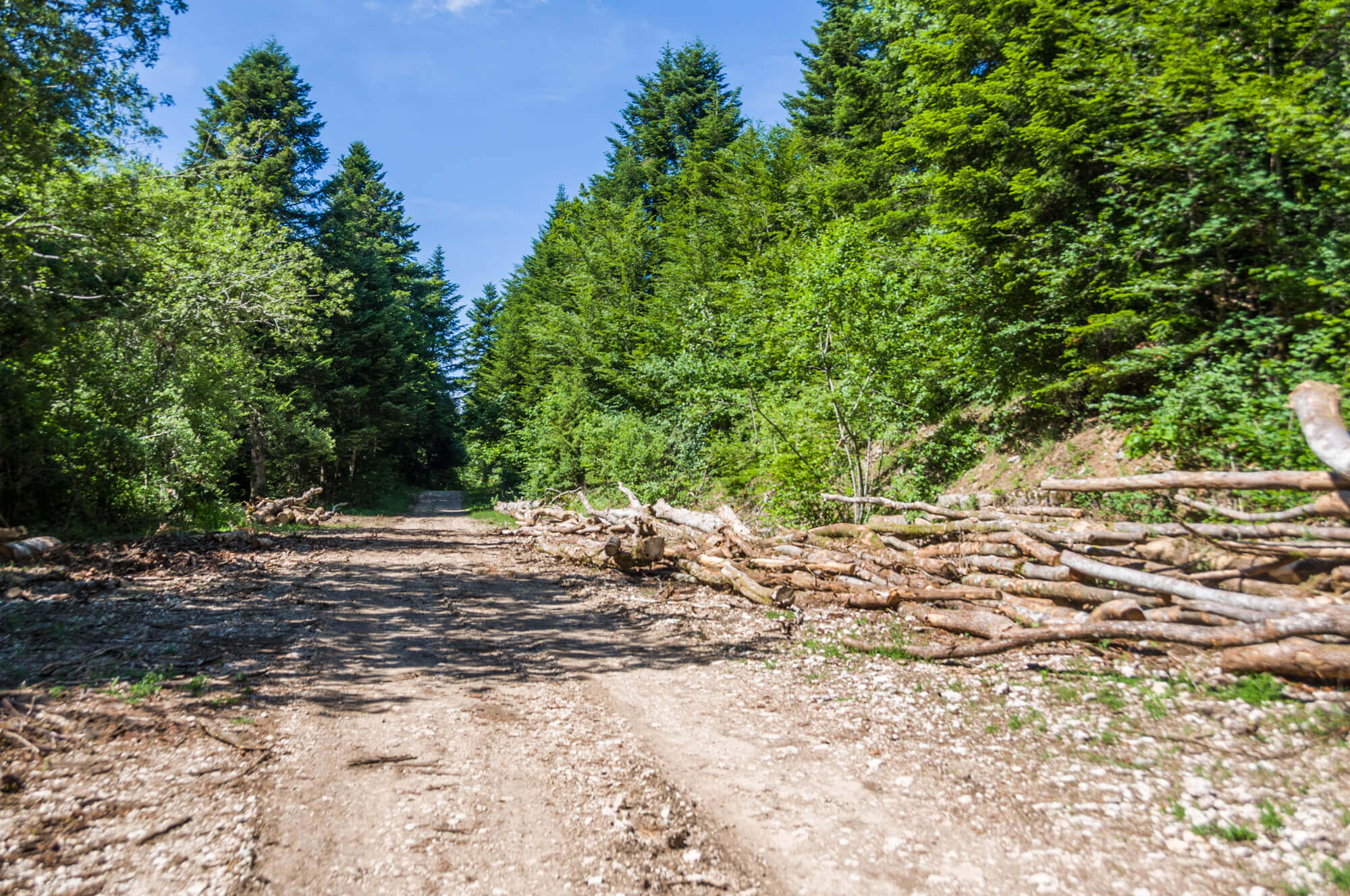
Fôret de Rouge.
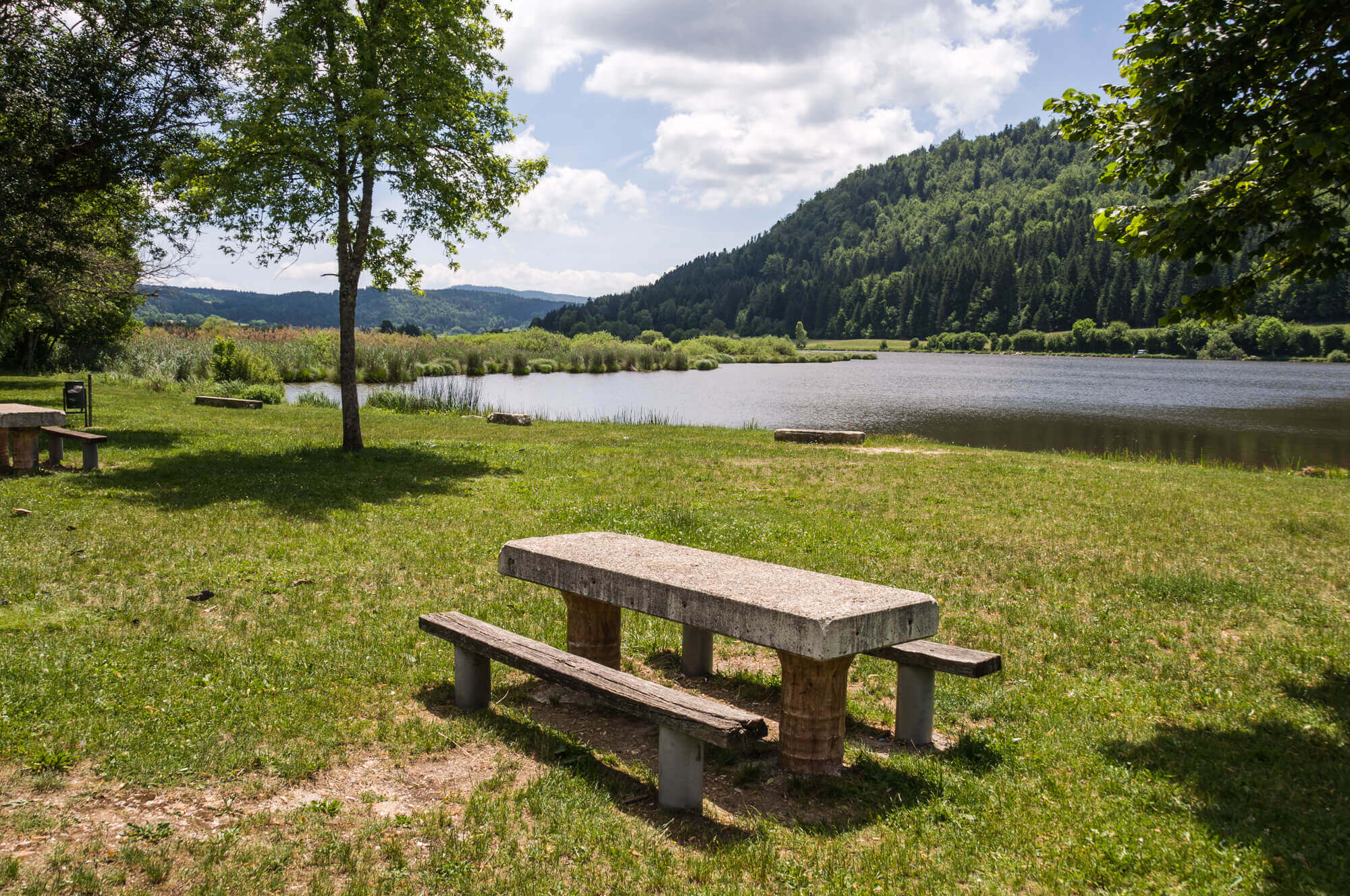
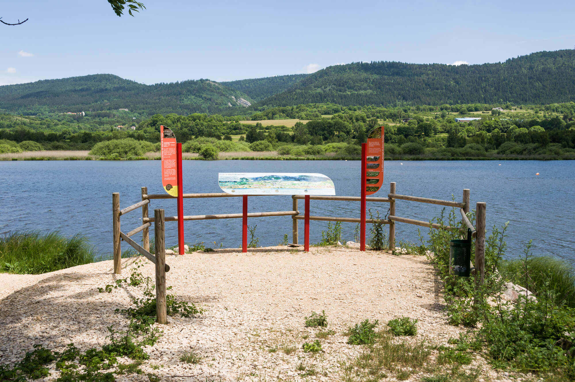
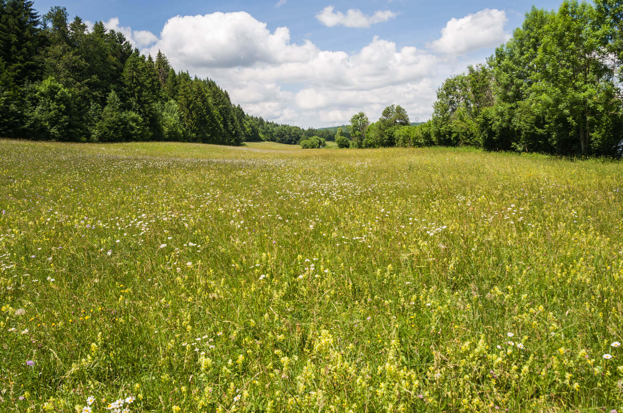
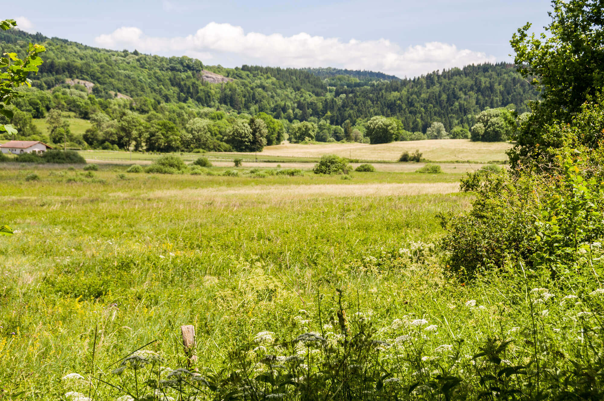
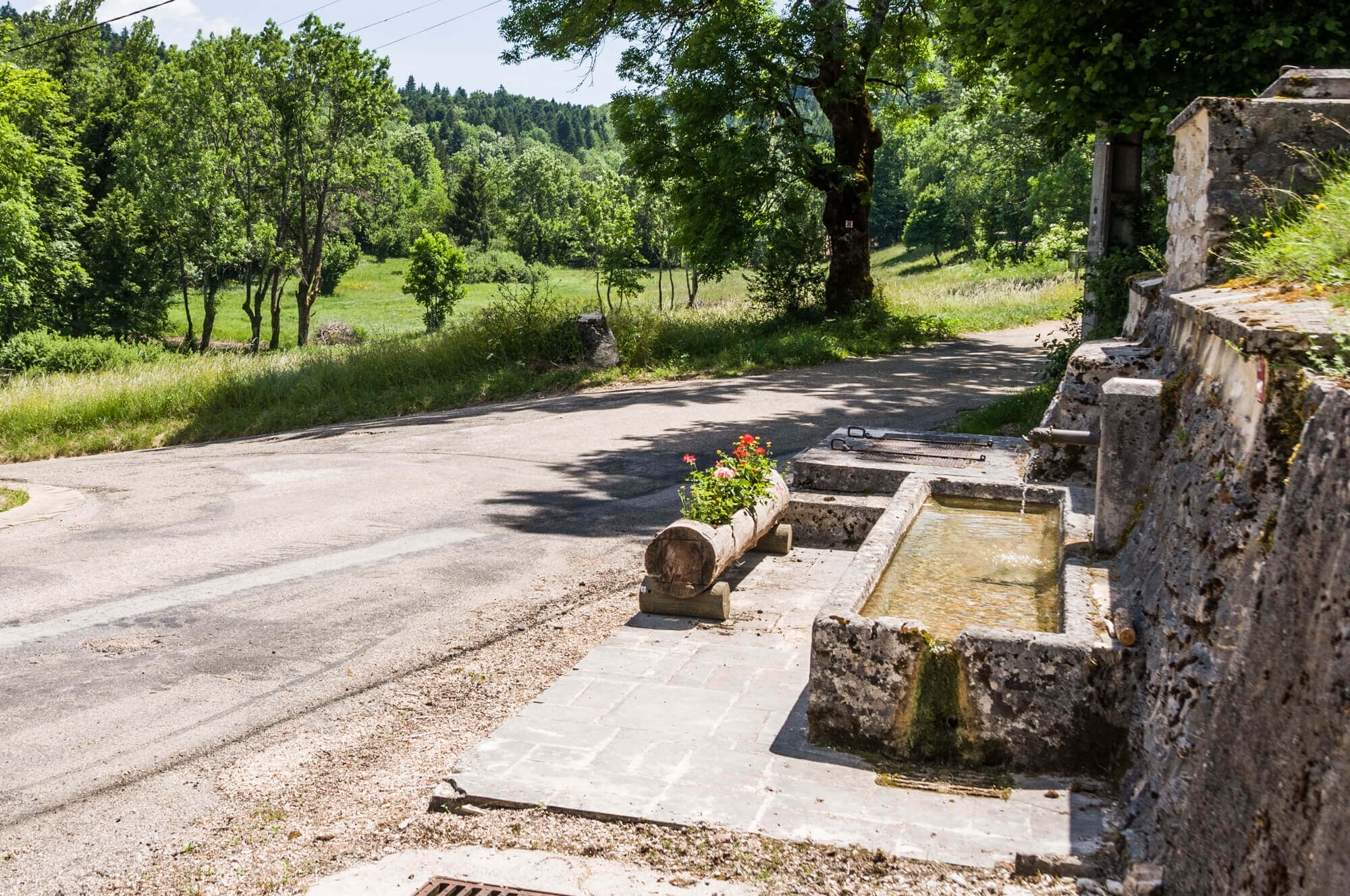
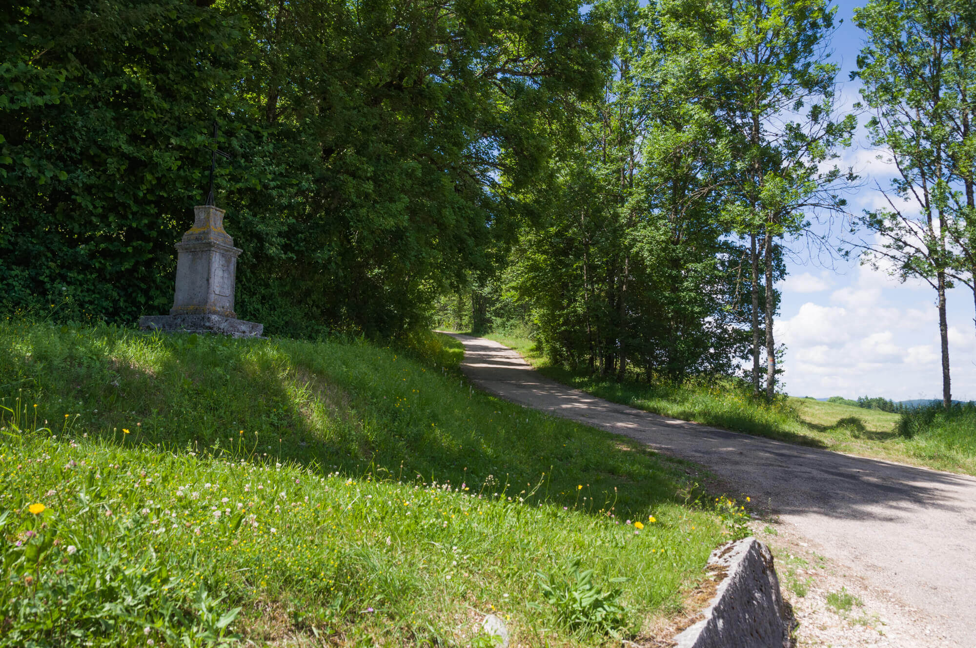
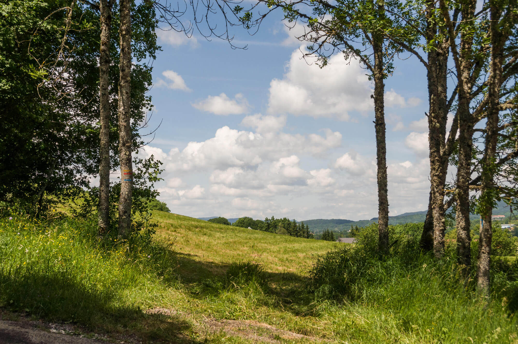
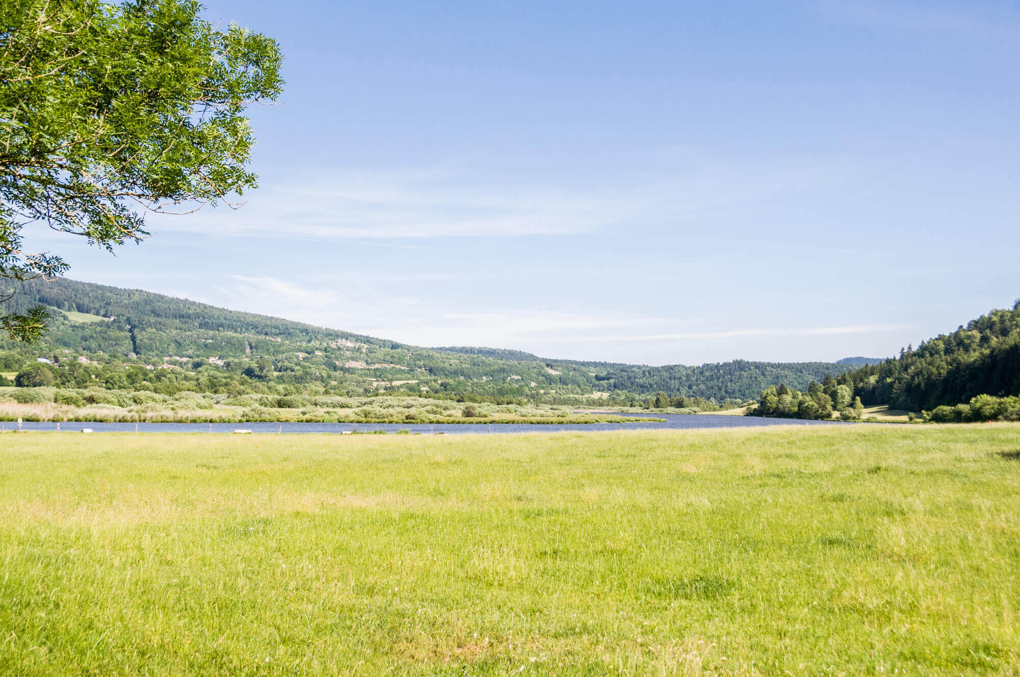
The walk starts at Lake Lésines, which borders the Marais de Vaux nature reserve. You pass a stretch along the shores of the lake and you pass an information sign over the marsh. A little further you leave the shore of the lake and go in the direction of the hamlet of Vaux-Saint-Sulpice. After the hamlet the walk goes through the Fôret de Rouge where a lot of forestry is done. You leave the forest near the hamlet Grand Derget. Once out of the hamlet you climb back to the ridge and then a strong descent takes you back to the starting point.
Download PDF for route description.
Steep descent on the last part of the walk.
POI 1 - Marais de Vaux.
With 132 hectares, the Marais de Vaux is the largest marsh in the Bugey Mountains. Almost 160 plant species can be found in the marsh such as carnivorous plants and orchids. The area is being fully restored to its original state in order to promote biodiversity. You can get acquainted with this beautiful area via a plank path.
No additional information.