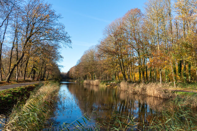
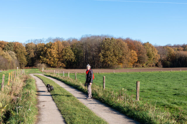
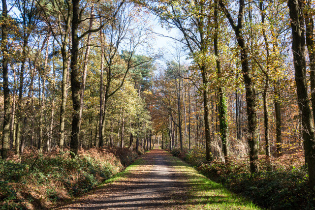
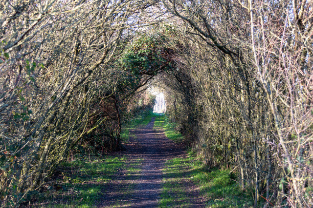
The walk goes through the nature reserve of the Palingbeek, along the former Ypres-Komen canal, through the Gasthuis forests and past war memories such as Mont Sorell, Hill 62, Maple Copse, Hill 60 and Spoilbank Cemetery.
Distance: 16.5 km.
Time: 4h30.
Grade: Moderate.
Type: Circular.
Gps Track: Yes.
Route description: Yes.
Wheelchair: Not suitable.
Dog: Allowed.
Height gain: Flat.
Trail: 50% unpaved.
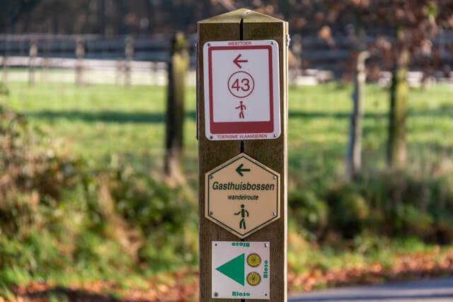
Marking: Walking nodes.
Hiking shoes recommended.
Advertisement.
Along the Ypres Salient.
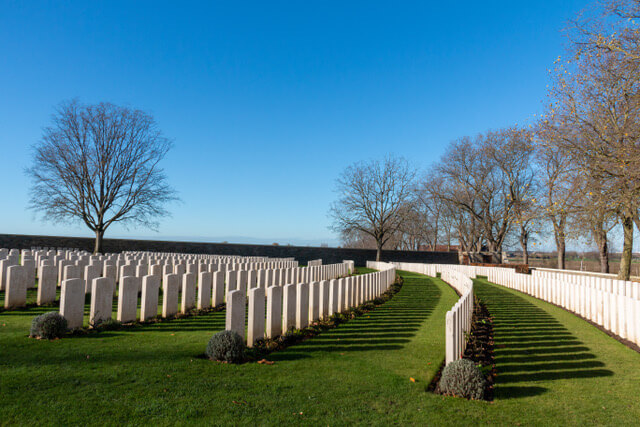
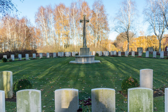
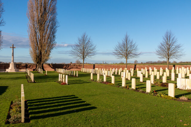
A row of hills extends around Ypres, the so-called Ypres Salient. To overcome that height with boats, ten locks were built on the route. No ship has ever passed through. Now the canal is a green oasis. The First World War transformed the Westhoek into the Belgian war landscape par excellence. Scattered across the Westhoek you will find hundreds of sites, monuments and cemeteries that have great historical and symbolic significance for different nationalities. This walk is a surprising combination of nature and history. Along the way there are interesting information panels that take you back to the wartime of that time. The Astrolab Iris, the public observatory, is also located along the route. On a clear day you have a nice view of Ypres from Hill 62.
Download PDf for nodes to follow.
POI 1 - Visitor center The Palingbeek.
In the visitor center you can dive into the rich past of the provincial domain. The former farm was converted into a visitor center with attention to aspects of sustainable construction. Those who visit the center are invited and encouraged to discover the great natural, scenic and historical values of the domain and the spacious surroundings, The Ypres Salient.
Visitor center The Palingbeek.
www.west-vlaanderen.be.
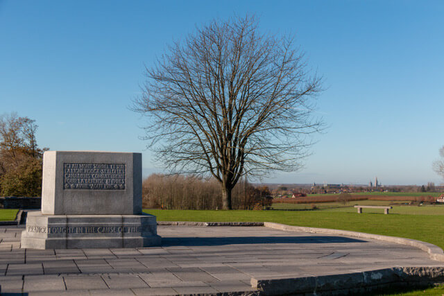
POI 2 - Hill 62.
Hill 62 is a hill in the vicinity of Ypres. "62" indicates that the hill is 62 meters above sea level. Hill 62 or Höhe 62 fell into German hands in 1916 untill Canadian troops captured the hill. The Canadians suffered great losses during this conquest. The memorial on the top commemorates the fallen Canadian soldiers. From Hill 62 you have a beautiful view of the towers of Ypres and you immediately notice the strategic importance of a height during WW I
Hill 62.
www.flandersfields.be.