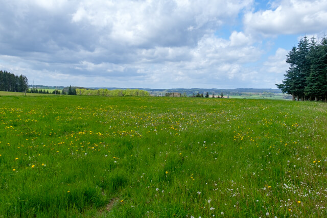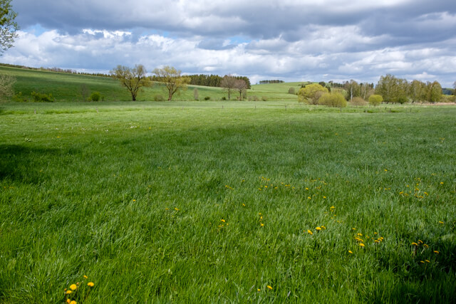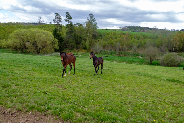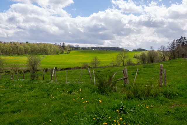
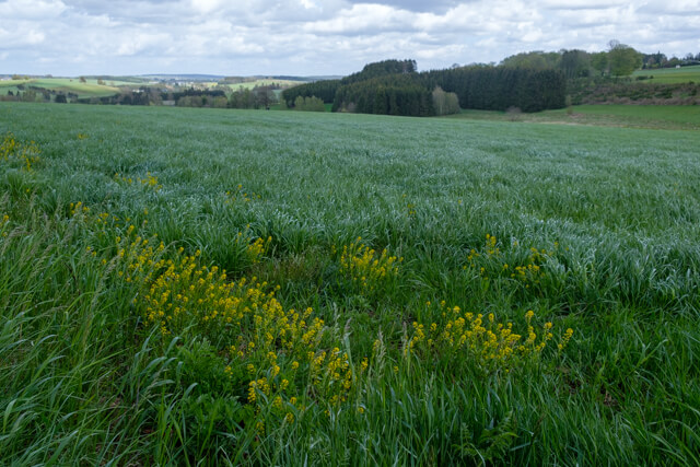
A quiet walk that, after a short climb, immediately treats you to beautiful views. From the village of Grüfflingen you walk to the picturesque valley of the Braunlauf, a small tributary of the Our. Through a forest you climb to an altitude of 500 meters where you return to an open landscape.
Distance: 7.5 km.
Time: 1h45.
Grade: Easy.
Type: Circular.
Gps Track: Yes.
Route description: Yes.
Wheelchair: Not suitable.
Dog: Allowed.
Height gain: 151 meters.
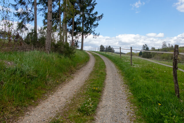
Trail: Paved and unpaved.
Marking: Walking nodes.
Hiking shoes recommended.
Advertisement.
The Braunlauf.
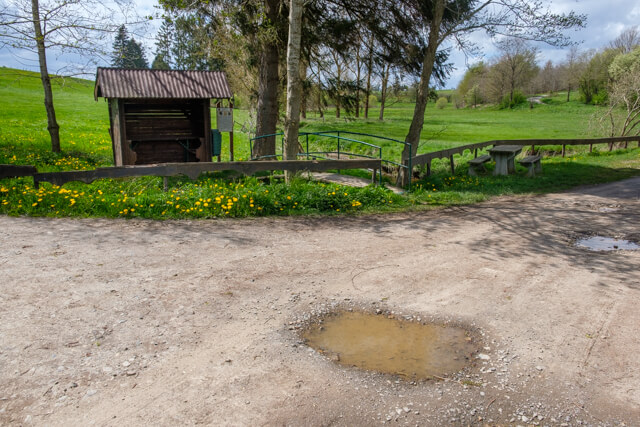
You start at the entrance of the campsite at walking node 20 and cross the busy N62. Along the edge of the forest you start a short climb. Once at the top you are offered a beautiful view. You walk on a wide dirt road in the direction of Grüfflingen, you pass a farm and via the Gartenweg you return to the N62. You go a short distance through the hamlet and once you have passed an industrial area the road becomes unpaved again. You now go through a beautiful open landscape to the river Braunlauf. The path now takes you into the valley of this meandering stream. In the hamlet of Neubrück you come to the N62 again. Follow the N62 to the Forellenhof. Here you take the paved road that turns into an unpaved forest road at the end. You now ascend through the forest to arrive at an altitude of 500 meters. You walk back to the starting point through an open landscape.
Download PDf for nodes to follow.
Pay attention at the busy N62.