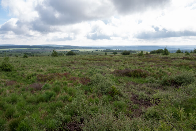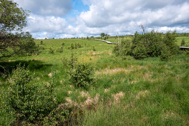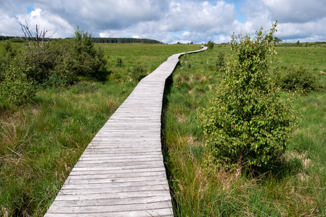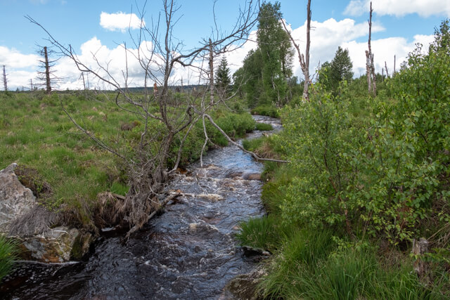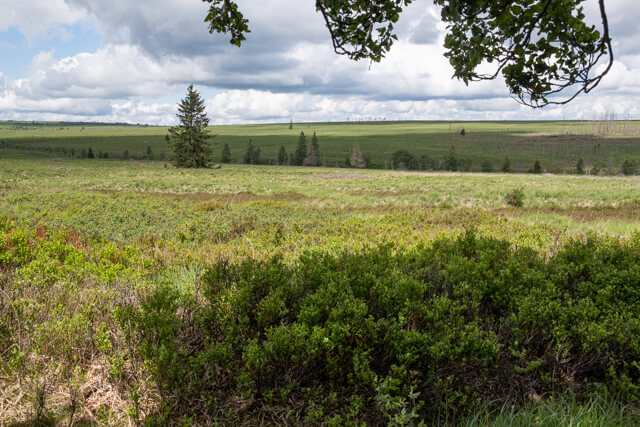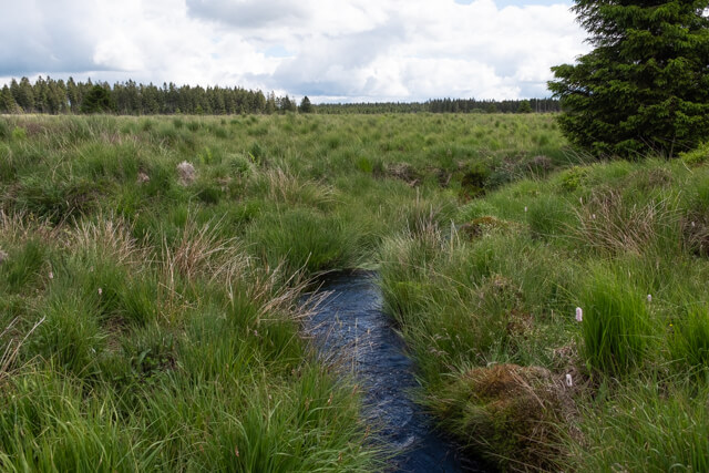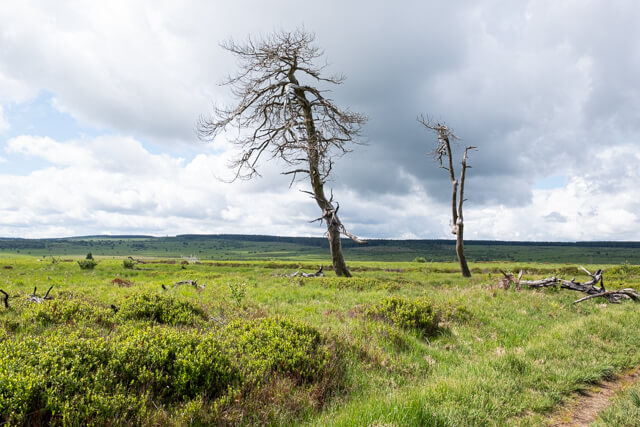
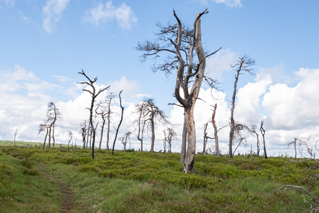
This walk goes along the edge of the Fagne Wallone to Noir Flohay, the famous skeleton trees. This is probably the highest point in Belgium. Then you walk further along the peat river the Helle to the southern edge of the peat bogs. The landscape consists of raised bogs, heathlands, sparse grasslands and forests.
Distance: 12.5 km.
Time: 3h30.
Grade: Moderate.
Type: Circular.
Gps Track: Yes.
Route description: Yes.
Wheelchair: Not suitable.
Dog: Not allowed.
Height gain: 178 meters.
Trail: 100% unpaved.
Marking: See PDF route description.
Hiking shoes recommended.
Advertisement.
Noir Flohay.
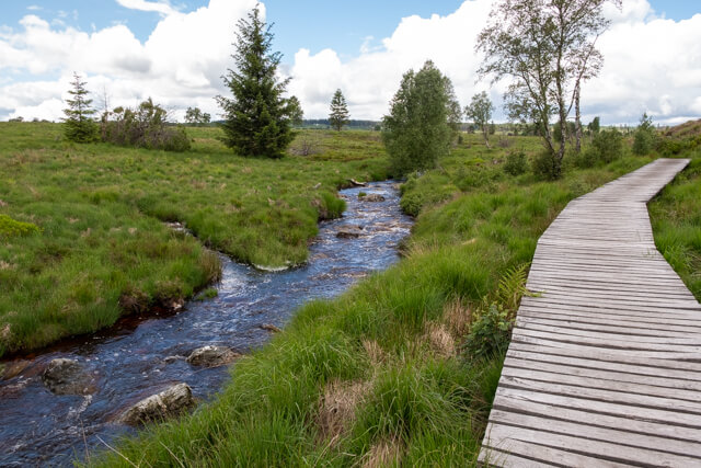
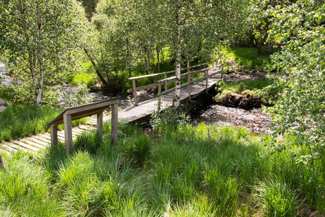
The route starts at the Signal de Botrange and soon you arrive at the viewing platform. Here you have a beautiful view of one of the most untouched pieces of nature in Belgium. Due to the harsh climate and poor soil, almost no villages have arisen over the centuries. You continue on a wide dirt road along the edge of the Fagne Wallonne to reach the first plank path. At the old Prussian border post you follow the peat river the Helle and then ascend via a winding path through the peat to the Noir Flohay. When you have visited the skeleton trees you descend back to the Helle which you following again. At the Marie Anne Libert bridge you leave the river and walk further along the southern edge of the Fagne Wallonne with beautiful views along the way. The last part goes back to the starting point on a long unpaved path.
Download PDf for route description.