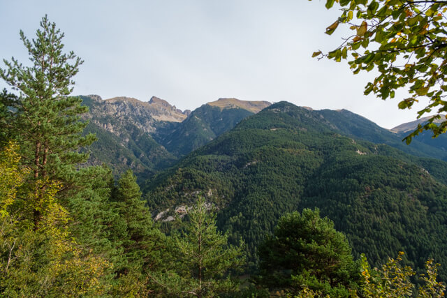
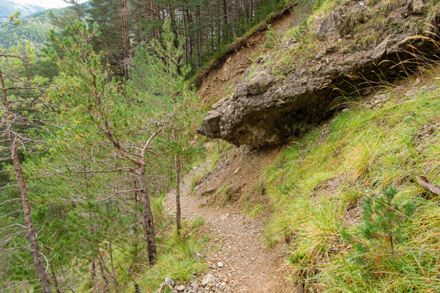
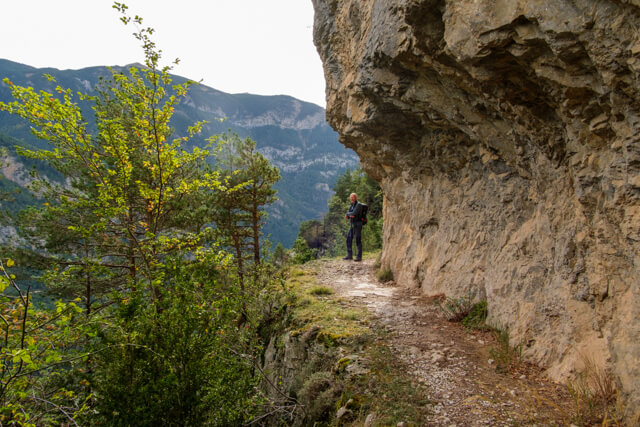
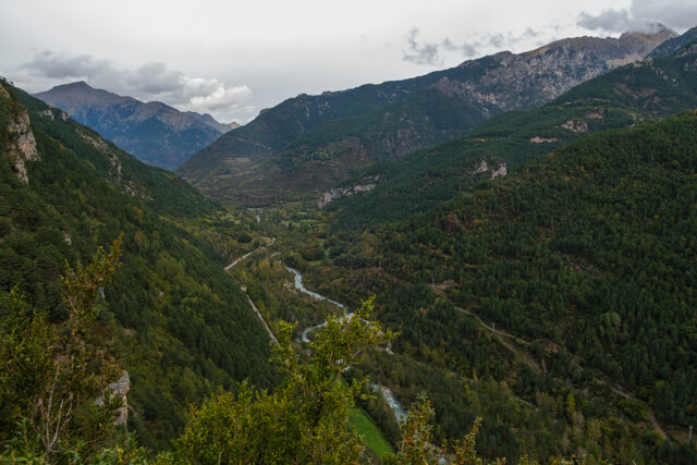
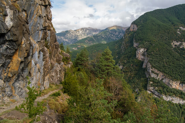
Beautiful walk on the path that was used for the construction of the Cinca canal. Along the way you have beautiful views of the Cinca valley and you walk a bit on the concrete roof of the canal. In short, a walk in beautiful nature with a bit of history.
Distance: 10 km.
Time: 3h00.
Grade: Moderate.
Type: Back and forth.
Gps Track: Yes.
Route description: Yes.
Wheelchair: Not suitable.
Dog: Allowed.
Height gain: 221 meters.
Trail: 100% unpaved.
Marking: White-Yellow - PRHU137
Advertisement.
Pratet de la Maacarina.
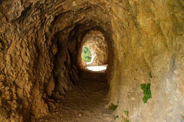
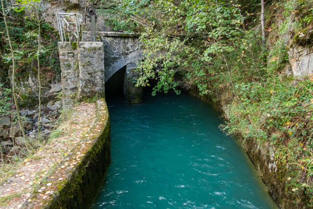
The walk starts with a short, steep climb through forest to an altitude of 1100 meters. Once you have conquered the climb, you follow the path that was used for the construction and maintenance of the Cinca Canal. The canal was built in the 1920s and brings water from Lake Pineta to Tella where it is led to the Lafortunada hydroelectric power station. A real feat. Along the way you go through a short carved tunnel and a little further you arrive at the viewpoint of Pratet de la Maacarina. Here you have a beautiful view of the Cinca valley and parts of the Pyrenees. The route goes to a point where the canal flows under a mountain. From this point you return to the starting point via the same route.
Download PDf for route description and map.