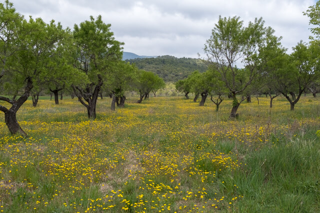
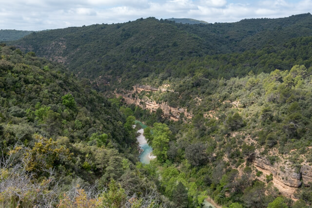
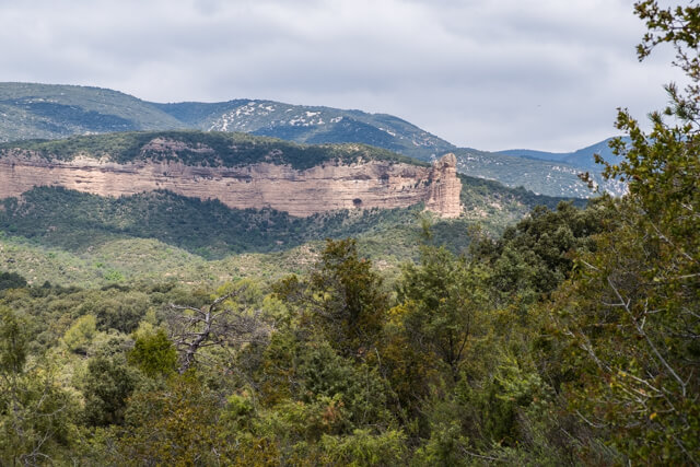
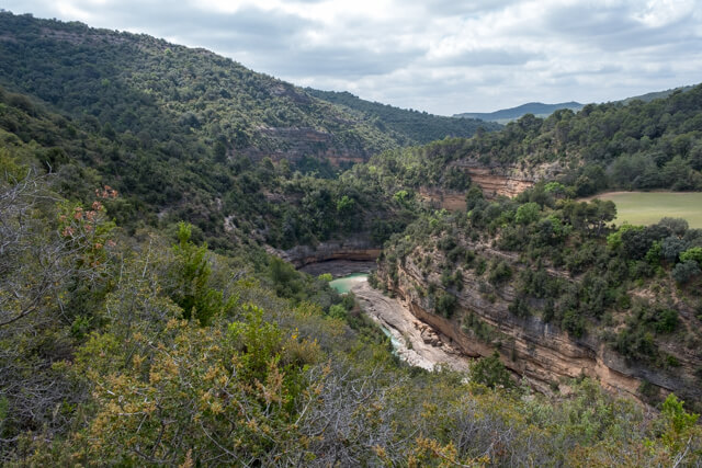
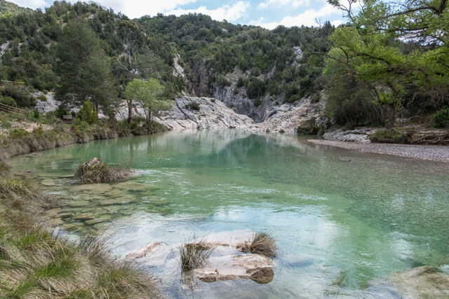
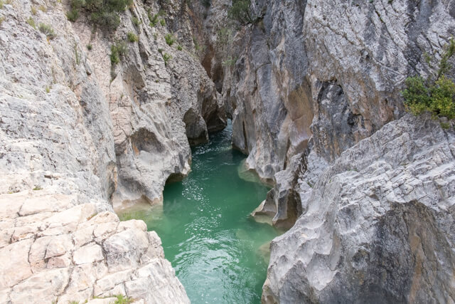
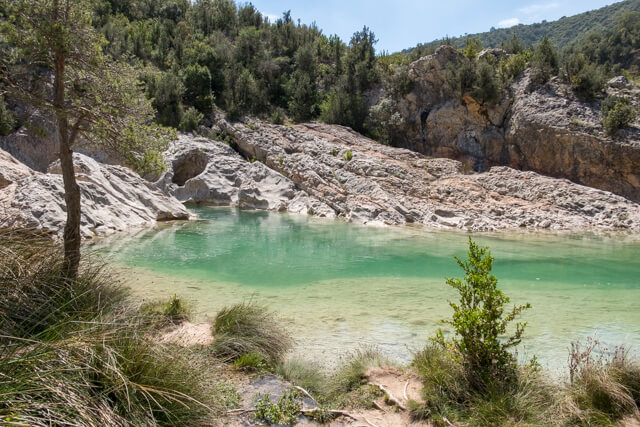
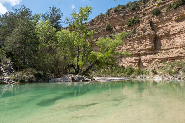
This walking route has many different facets. From Salto de Bierge you follow the valley of the Alacanadre river along a panorama path. Along the way you have a nice viewpoint on the rock formation El Huevo where the Peña Falconera stands out the most. This rock is as it were the guardian of the spectacular gorge. You will pass the source of El Puntillo and then descend to the bank of the river where you will find a turquoise 'lagoon'. You cross the river via stepping stones to end up at the source of the Tamara at a nice picnic area. With a little luck you can see wild goats balancing on the flanks of the ridge.
Distance: 10 km.
Time: 3h00.
Grade: Moderate.
Type: Back and forth.
Gps Track: Yes.
Route description: Yes.
Wheelchair: Partially - see PDF.
Dog: Allowed.
Height gain: 413 meters.
Trail: 100% unpaved.
Marking: Signs on posts.
Hiking shoes recommended.
Advertisement.
Valley of the Alacanadre.
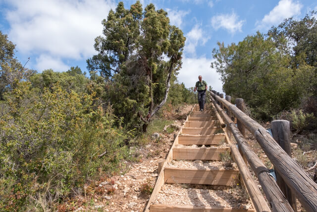
You start from the parking lot in Salto de Bierge and follow a wide dirt road between the olive groves. At the place where the dirt road stops you have one parking space for the disabled. From this point a path of approximately 500 meters has been laid where disabled people can go to the viewpoint by wheelchair. From the viewing point you go up and down to cross side valleys. Then a very steep descent to the river starts, here you cross the river via stepping stones to reach the source of the Tamara on the other side. You return to the starting point via the same route.
Download PDF for route description.
After heavy rainfall, a lot of water can stand in the river, making the crossing impossible due to the strong current.