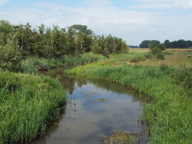
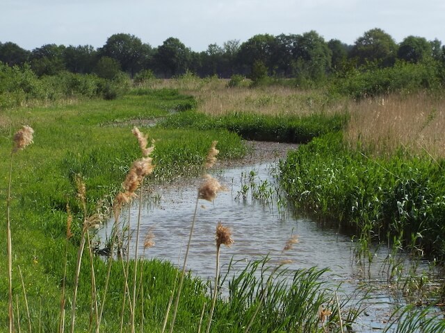
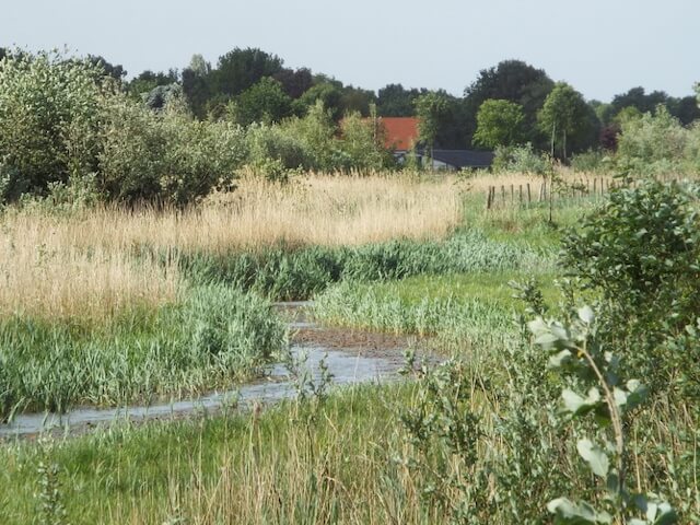
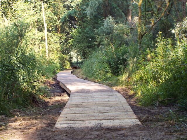
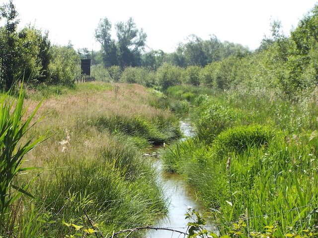
The fourth stage goes from Tungelroy to Swartbroek and is also the shortest stage. The walk goes along the Tungelroyse Beek and through the Krang nature reserve.
Distance: 10 km.
Time: 2h30.
Grade: Moderate.
Type: Point to point.
Gps Track: Yes.
Route description: Yes.
Wheelchair: Not suitable.
Dog: Allowed.
Height gain: Flat.
Trail: 82% unpaved.
Marking: See PDF route description.
Hiking shoes recommended.
Advertisement.
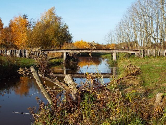
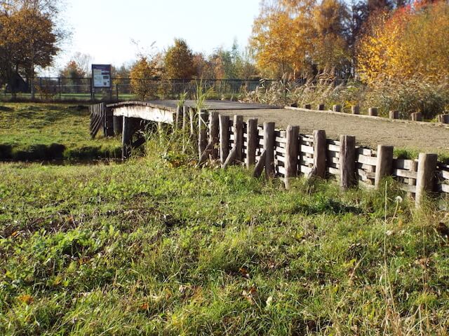
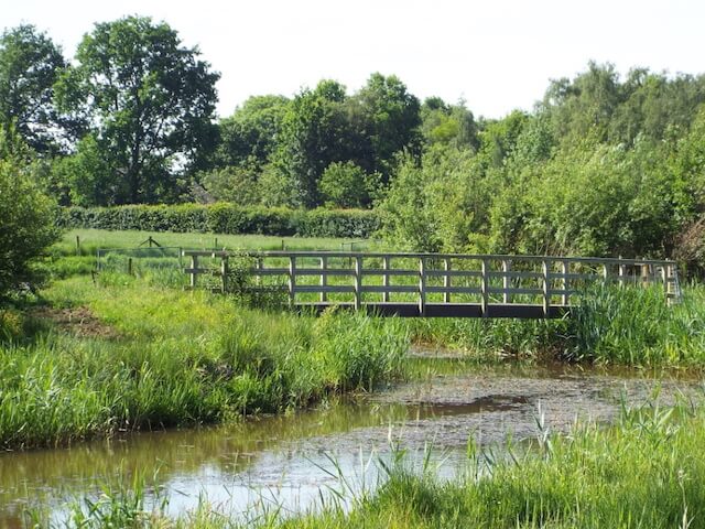
Roman bridge.
During the earlier stages, you have already seen a number of bridges over the stream, during this stage you pass a special bridge, a replica of a wooden brook bridge from Roman times. During excavation work on the Tungelroyse brook, remains of a wooden brook bridge from Roman times have been discovered. This inspired a group of volunteers to build a replica of the bridge over the Tungelroyse brook. De Krang, a nature reserve directly southwest of Swartbroek, is a nature reserve with fields, woods, coppice plots and fens. Around the farms, now partly out of use, are the convex fields that are so characteristic of this area and in the north the former swamp area Roekespeel, now largely agricultural land. The Leukerbeek flows through the area and flows into the Tungelroyse Beek.
Download PDF for route description.