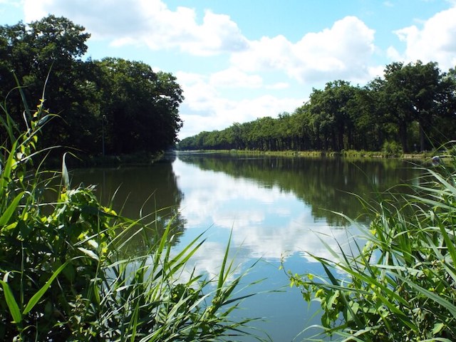
The first stage starts in Lozen on Belgian territory. The Zuid-Willemsvaart and the Bocholt-Herentals Canal converge in Lozen. To the northwest of Lozen is the Lozerheide nature reserve, a former flow field with poplar plantations and a large fish pond.
Distance: 19 km.
Time: 4h30.
Grade: Moderate.
Type: Point to point.
Gps Track: Yes.
Route description: Yes.
Wheelchair: Not suitable.
Dog: Allowed.
Height gain: No info.
Trail: 80% unpaved.
Marking: See PDF route description.
Hiking shoes recommended.
Advertisement.
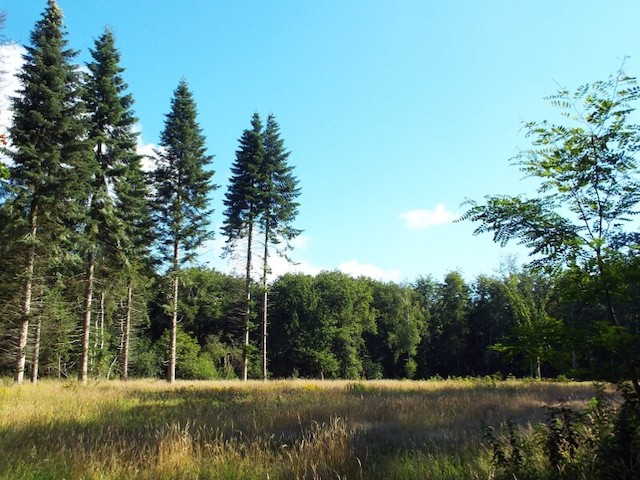
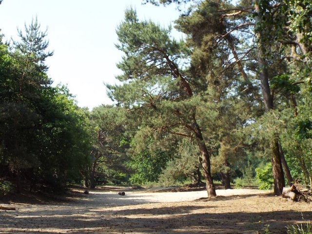
The Laura forest.
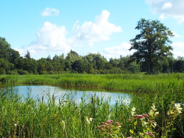
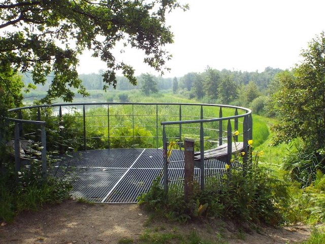
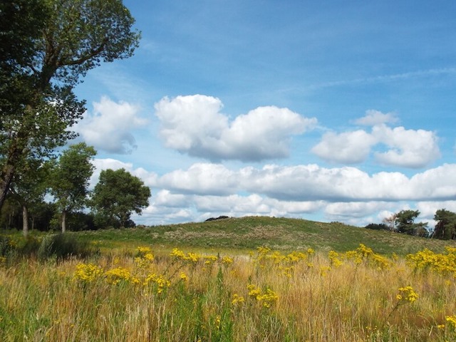
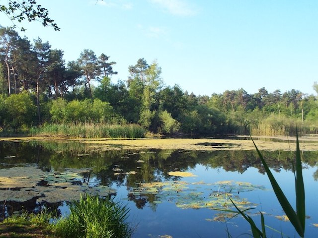
To the northwest of Lozen is the Lozerheide nature reserve, a former flow field with poplar plantations and a large fishing pond. The heathland was originally irrigated with canal water from the 19th century, initially for the extraction of hay. Later it is wooded and now a beautiful nature reserve. The Hamonterbeek has its source in this area and flows into the lake De Hoort on the Dutch side of the border. Pond De Hoort is connected to Ringsel fen, a group of fens that in turn supplies the Tungelroyse Brook with water. The stage does not go along these lakes but after the visit to the Loozerheide back to Lozen and the canal follows the Zuid-Willemsvaart on the east side. On Belgian territory, the stage will take you along the Lozerbeek and the Lozerbroekbeek, both watercourses will eventually flow via the Raam into the Tungelroyse Brook. Via the Laura forest the stage goes to the place where the Tungelroyse Brook passes under the Zuid-Willemsvaart and enters the Kruispeel, a remnant of an extensive heath and swamp landscape. The last part of the stage goes through the IJzeren Man, a fens rich forest area on the edge of Weert. As places of interest, one comes along the lock complex in Lozen and the canals.
Download PDF for route description.