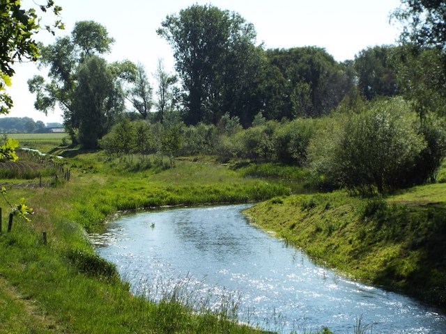
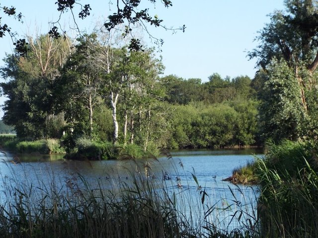
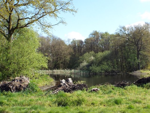
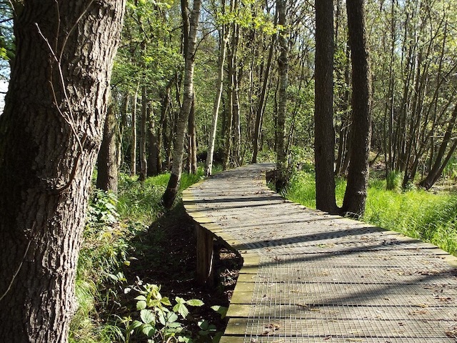
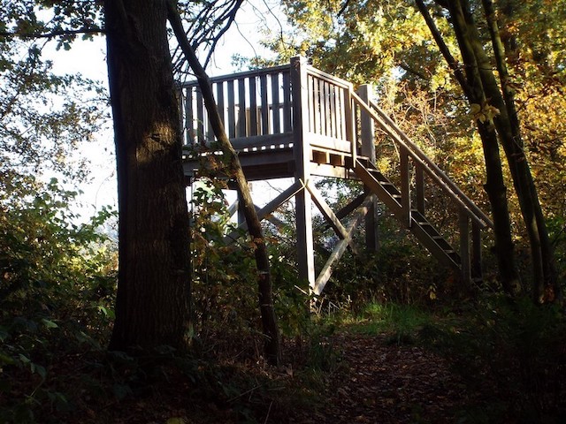
This stage from Ell to Nederweert-Eind, goes along the Wessem-Nederweert canal, through the Wellensteyn forest area, the Kwegt wetland area and along the Sars fen. Peat extraction has taken place in a large part of the area through which this stage runs.
Distance: 12 km.
Time: 3h00.
Grade: Moderate.
Type: Point to point.
Gps Track: Yes.
Route description: Yes.
Wheelchair: Not suitable.
Dog: Allowed.
Height gain: No info.
Trail: 62% unpaved.
Marking: See PDF route description.
Hiking shoes recommended.
Advertisement.
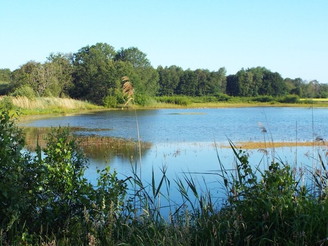
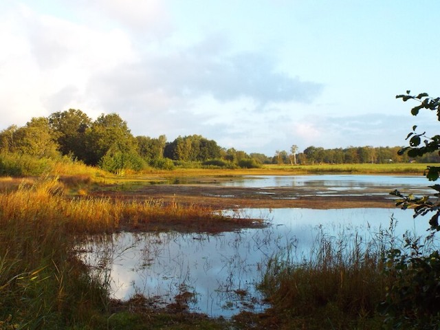
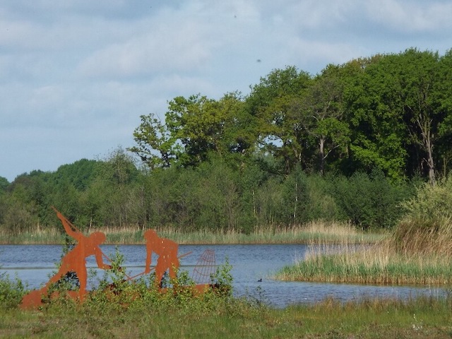
The Sars fen.
As a result of the clearing, the landscape has undergone a major change, thus creating fens and ponds that were later given other purposes. The construction around 1926 of the connecting canal between the places Wessem and Nederweert also had a lot of influence on the landscape. For example, during construction, the released sand ended up in the Wellensteyn area, among others, the area must have been a few meters lower locally before that time. The Wellensteyn area was later planted with the aim of production forest, currently Het Limburgs Landschap is gradually transforming the production forest into a more natural forest. Many of the fens, created by the excavation, also disappeared under the sand that was released. The Sars fen is one of the few remaining fens. Part of the area has recently been redesigned, for example, much of the sand deposited in the Kwegt has been removed, resulting in a new attractive wetland area. The surroundings of the Sars fen also appear to be one of the most important Dutch sites of habitation from the Old and Middle Stone Age (10 000 to 3 000 BC).
Download PDF for route description.