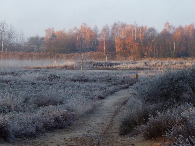
Walking tour through the Nederheide, the Stippelberg, the Beestenveld and the Klotterpeel. Together these areas form the largest contiguous nature reserve in the east of North Brabant.
Distance: 13 km.
Time: 3h00.
Grade: Easy.
Type: Circular.
Gps Track: Yes.
Route description: Yes.
Wheelchair: Not suitable.
Dog: Allowed.
Height gain: No info.
Trail: 95% unpaved.
Marking: See PDF route description.
Hiking shoes recommended.
Advertisement.
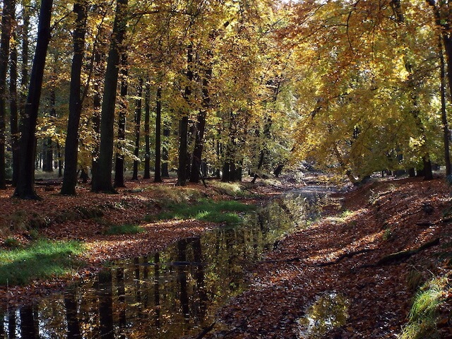
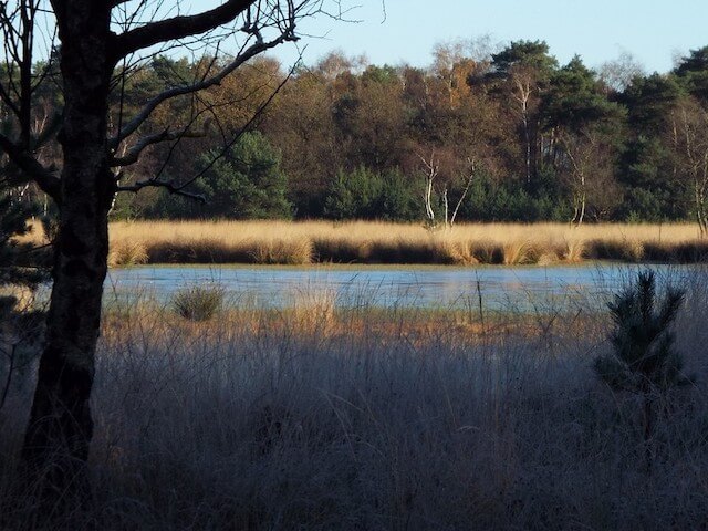
Klotterpeel and Peelseloop.
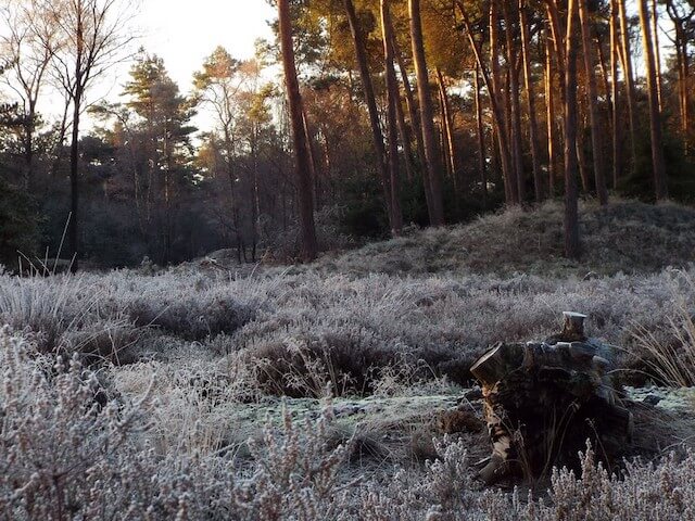
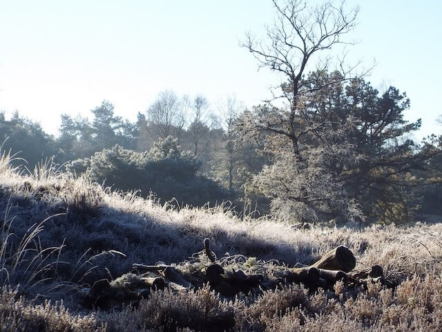
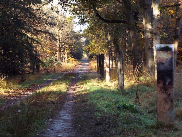
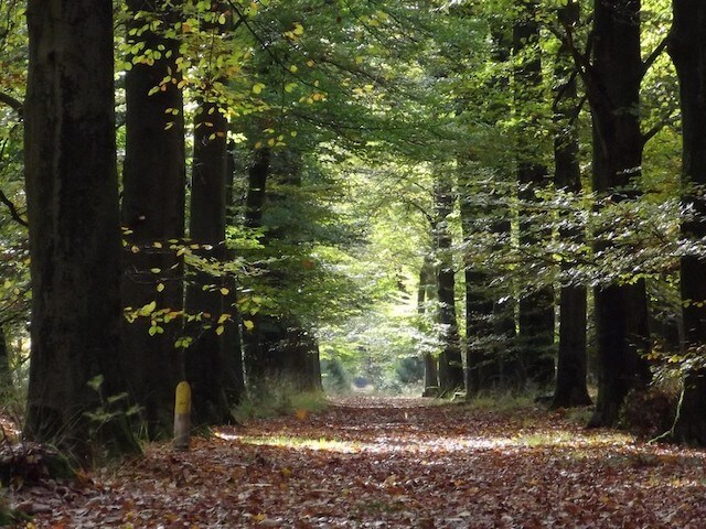
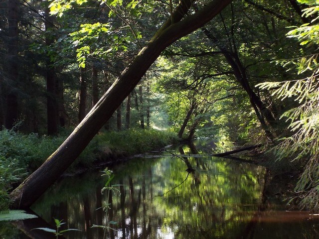
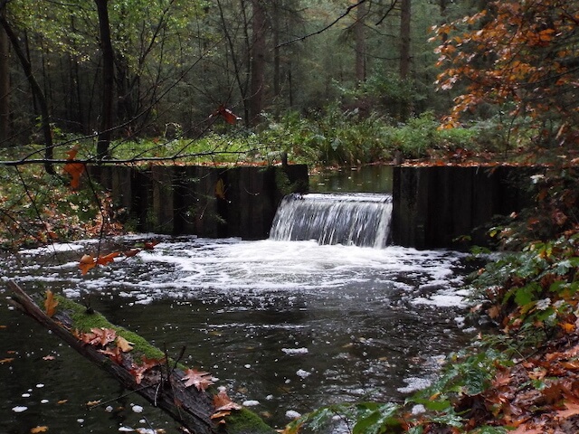
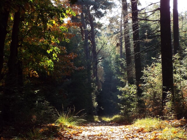
The originally cultivated forest is developing more and more into a varied forest. The walking tour includes the old drift dunes that lie in the landscape like 'dots'. The Stippelberg area owes its name to these old drift dunes. The Klotterpeel is a small peel area that has escaped the great drainage. An attempt was made on a small scale to extract it, but this turned out not to be profitable. The area recovered again to the swampy conditions that were common at the beginning of this century with a large fen in the middle. During the walk you will pass a remnant of the Koordekanaal and a watercourse the Peelseloop, parts of which were part of the Koordekanaal. The Koordekanaal itself was part of the Peel-Raamstelling, a Dutch line of defense that was constructed in 1939. It formed a second line to reinforce part of the line at the Defense channel. In the night of 10 to 11 May 1940, the first Dutch war day, the Koordekanaal was also abandoned during the withdrawal of the Peel Raamstelling. Due to the panic, a part of the bridges over the Koordekanaal was blown up too early, causing civilian evacuees to be locked up. They struggled to leave the area.
Download PDf for route description.