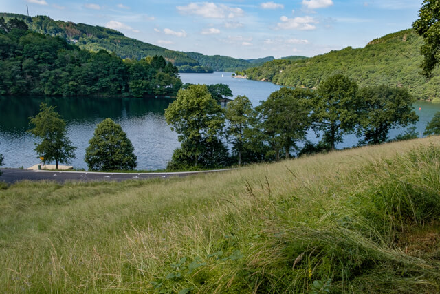
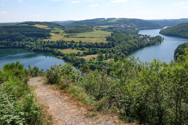
This varied GPS walk crosses the pedestrian bridge of Lake Haute-Sûre and then goes through forest to the plateau near the hamlet of Kaundorf. Just above Esch-sur-Sûre you can catch a glimpse of the ruins of the castle. The last part goes through forest on the flanks of the lake with beautiful views along the way.
Distance: 16 km.
Time: 4h00.
Grade: Heavy.
Type: Circular.
Gps Track: Yes.
Route description: No.
Wheelchair: Not suitable.
Dog: Allowed.
Height gain: 613 meters.
Trail: Paved and unpaved.
Marking: None.
Hiking shoes recommended.
Advertisement.
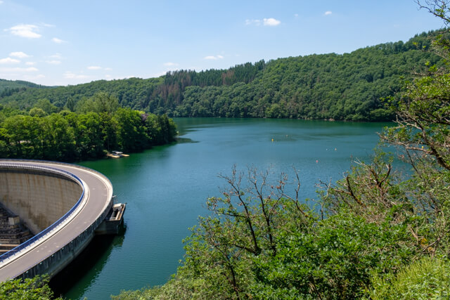
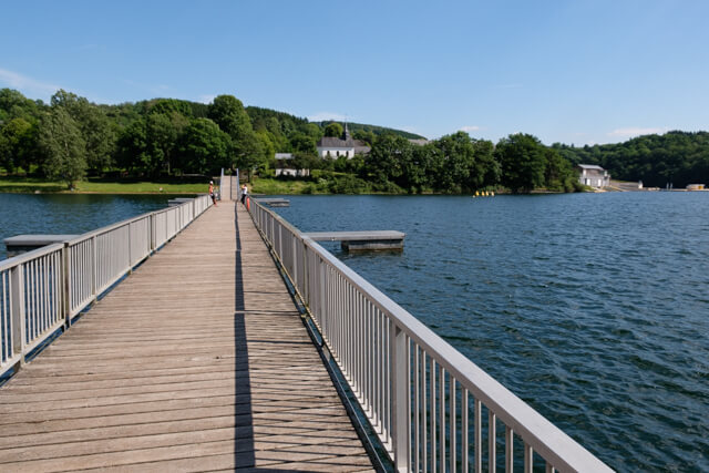
Pedestrian bridge.
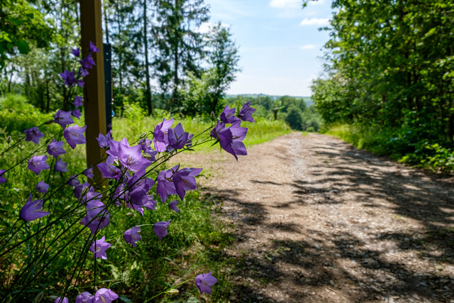
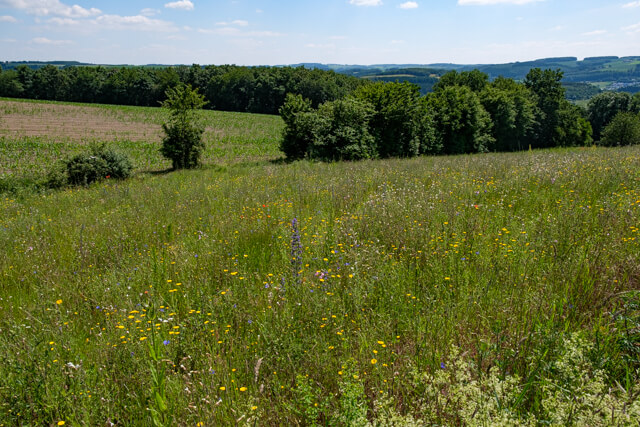
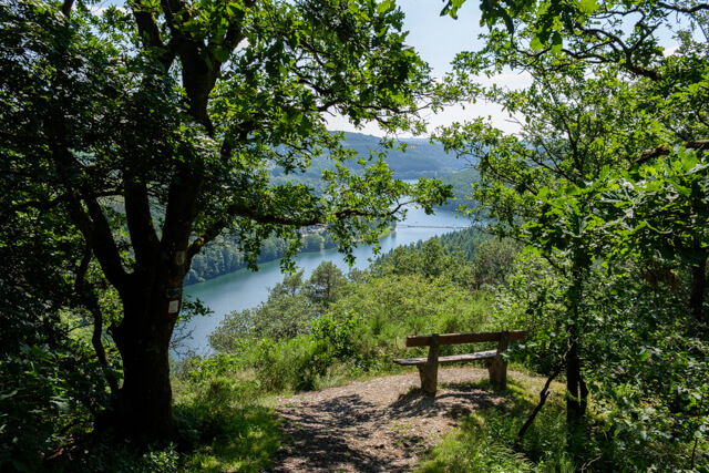
The walk starts in Lultzhausen and you almost immediately cross the lake via a beautiful pedestrian bridge. On the other bank you ascend through a forest to the plateau where you have a beautiful view of the wide surroundings. Once through the village of Kaundorf you continue on country roads and unpaved paths in the direction of Esch-sur-Sûre. You don't descend all the way into the village, but on your route you do get a nice view of the ruins of the castle. You continue on a paved road to the dam of the lake. If desired, you can walk back and forth to the dam. The walk continues through forest high above the lake and along the way you have several viewpoints. You still pass an abandoned casemate to eventually return to the pedestrian bridge.