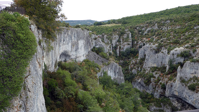
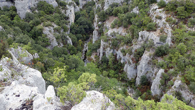
The hiking route introduces you to the protected area of the Gorges d'Oppedette. In some places the gorge is 200 meters deep. You first follow the top of the Gorges d'Oppedette along narrow paths and then descend via a ladder into the beautiful gorge, so a bit of adventure.
Distance: 6 km.
Time: 2h00.
Grade: Moderate.
Type: Circular.
Gps Track: Yes.
Route description: No.
Wheelchair: Not suitable.
Dog: Not possible unless you take the alternative route.
Height gain: 240 meters.
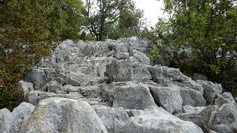
Trail: 98% unpaved.
Marking: White-Red GR6 and Yellow dash.
Hiking shoes recommended.
Advertisement.
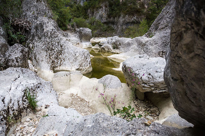
The "Stone River".
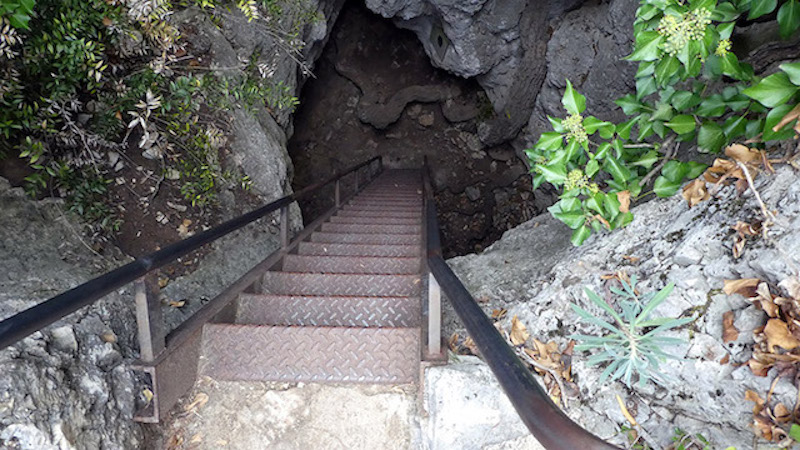
From the parking you follow the GR markings along the left bank of the river Calavon, which would mean "stone river". You cross the D201 twice to end up at the bridge over the Calavon. You cross the bridge and immediately after it take the path on the right that follows the other bank of the river. The markeing now becomes a yellow line. After a while you arrive at a secured passage and then you come to the entrance of Le Cheminée, "the chimney". You go down a ladder and you have a steep descent to go before you reach the bottom of the gorge. Now follow the river bed to the left to climb up a little further on the other side.
Alternative route: From the Le Cheminée you can simply continue walking along the upper side of the Gorges in order to return to the starting point via the village. About one hour extra walking time for this alternative route.
Not recommended for people with fear for heights.