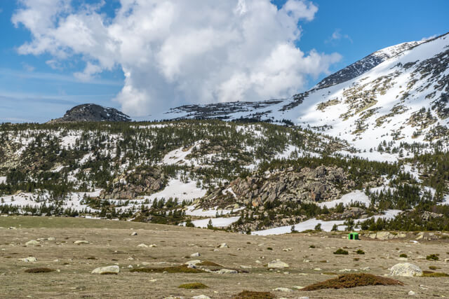
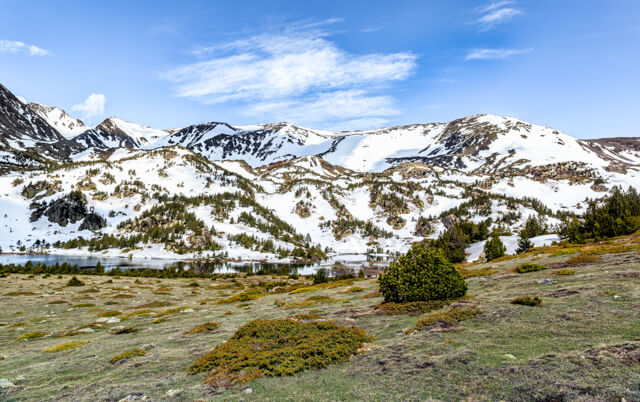
This gem leaves from the reservoir of Bouillouses and first goes through a pine forest take you to no less than nine mountain lakes at the foot of the Pic Carlit (2931 meters). To do the tour you really have to take your time.
Distance: 10 km.
Time: 3h30.
Grade: Moderate.
Type: Circular.
Gps Track: Yes.
Route description: Yes.
Wheelchair: Not suitable.
Dog: Not allowed.
Height gain: 492 meters.
Trail: 100% unpaved.
Marking: PR - Yellow dash.
Hiking shoes recommended.
Advertisement.
At the footh of Pic Carlit.
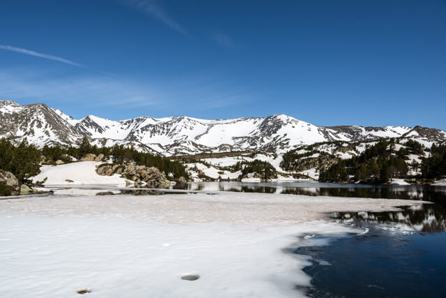
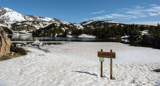
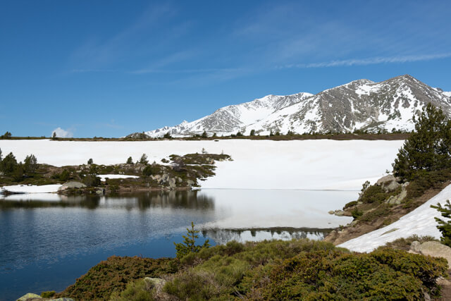
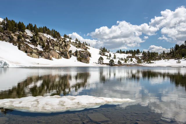
You leave via a beautiful forest path and pass successively along nine mountain lakes. The first lakes are the Estany Negre, Estany de la Comassa, Estany Sec and Estany de Vallell. Then you walk across an immense grass plain to the path that goes in the direction of the Pic Carlit. Here you bend and pass the Estany Soubirans and the Estany Trébens. You cross two bridges and continue past the Estany Combeau and the Estany Castella. Then you descend to the last lake, Estany de les Dugues to return through the forest.
Download PDF for route description.
Stay on the path when there are still snow fields.
POI 1 - Site of Bouillouses.
The Bouillouse site is 1,800 hectares in size and is located in the Carlit massif. It consists of a dozen mountain lakes and high pine forests. The altitude varies from 2000 to 2921 meters. The site's fauna and flora are exceptionally rich. In order to reduce the tourist pressure on the area, a circulation plan is in effect in high season, you can only reach the reservoir with a shuttle bus.
No additional information.