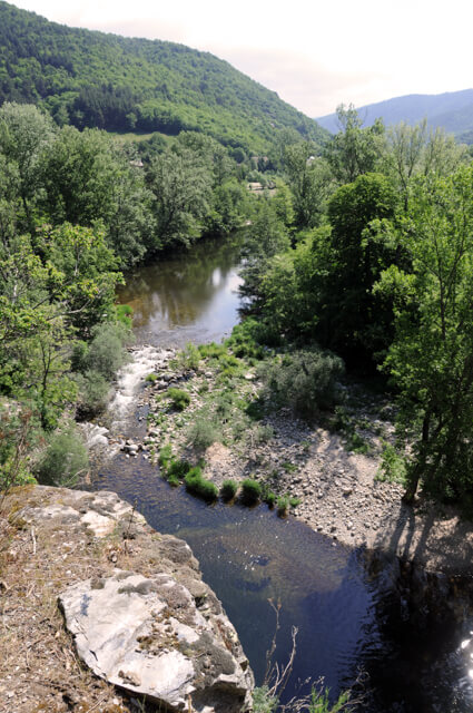
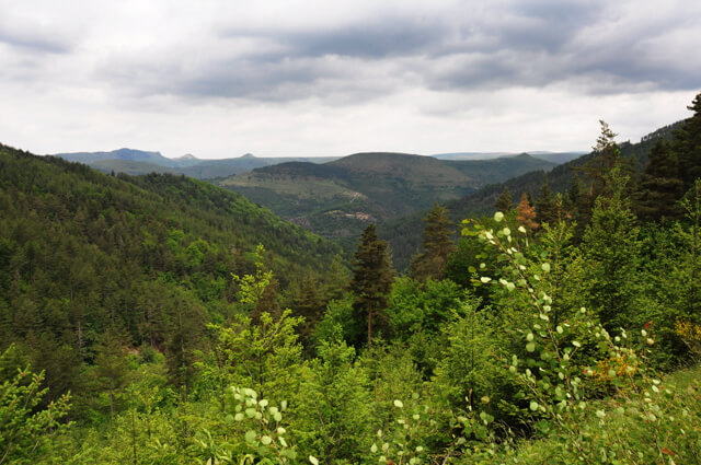
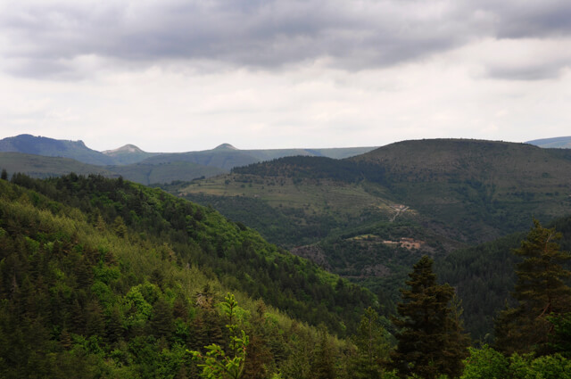
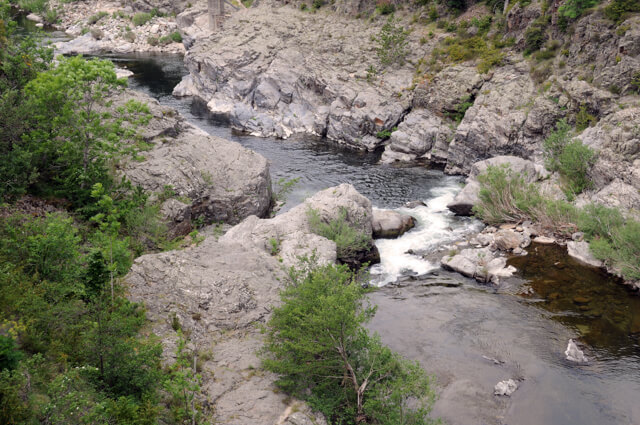
This walk in the Florac area follows part of the famous GR70 - The Stevenson route. You first walk along the banks of the river Tarn. The second part starts with a steep climb through the forest of Ramponenche to the Col de la Chaumette. During the climb to the Col de la Chaumette you can see the special rounded peaks of Les Bondons in the distance.
Distance: 13 km.
Time: 4h00.
Grade: Moderate.
Type: Circular.
Gps Track: Yes.
Route description: Yes.
Wheelchair: Not suitable.
Dog: Allowed.
Height gain: 593 meters.
Trail: 90% unpaved.
Marking: GR - White-Red.
Hiking shoes recommended.
Advertisement.
A part of the Stevenson route.
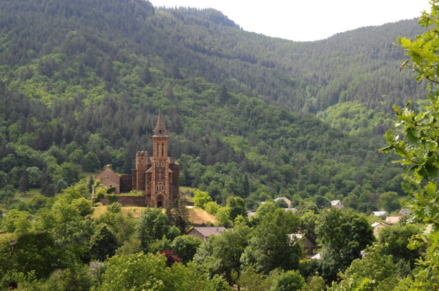
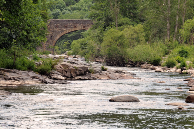
You leave over the bridge of the Tarn and soon leave the houses after you. You walk along the banks of the Tarn. On the route you have a beautiful view of the church of the Bédouès College from the 14th century. You walk through the Chantemerle campsite and you arrive at the Pont de la Pontèse. You cross the bridge and now follow the Tarn on the other side. You then start a steep climb through the forest of Ramponenche with beautiful views of the rounded peaks of Les Bondons along the way. On the Col de la Chaumette you start the descent to the N106 that brings you the starting point.
Download PDF for route description.