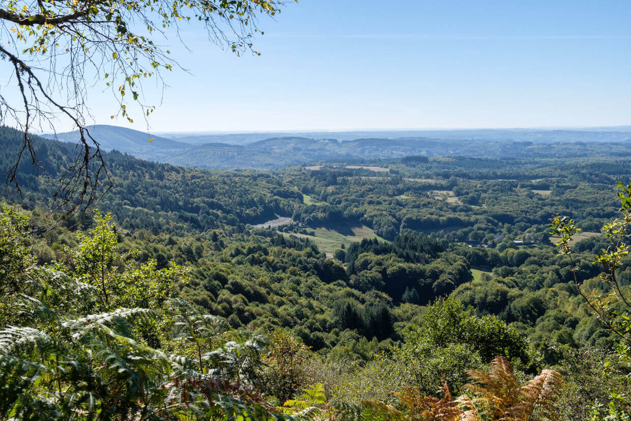
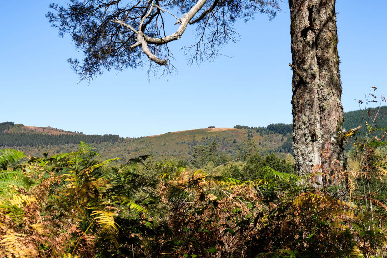
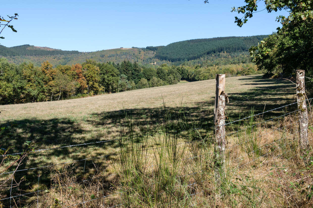
Above and below the Cirque de Freysselines does not disappoint the walker: the panorama at the summit of Suc-au-May is breathtaking and on the slopes of the three mountains that form the Cirque, puy de Chauzeix, Suc-au-May and puy de la Jarrige, we can still admire the tapestries of heathland that were sung by Jean Ségurel, the 'famous' accordionist.
Distance: 10 km.
Time: 3h30.
Grade: Moderate.
Type: Circular.
Gps Track: Yes.
Route description: Yes.
Wheelchair: Not suitable.
Dog: Allowed.
Height gain: 378 meters.
Trail: Paved and unpaved.
Marking: Yellow dash.
Hiking shoes recommended.
Advertisement.
Cirque of Freysselines.
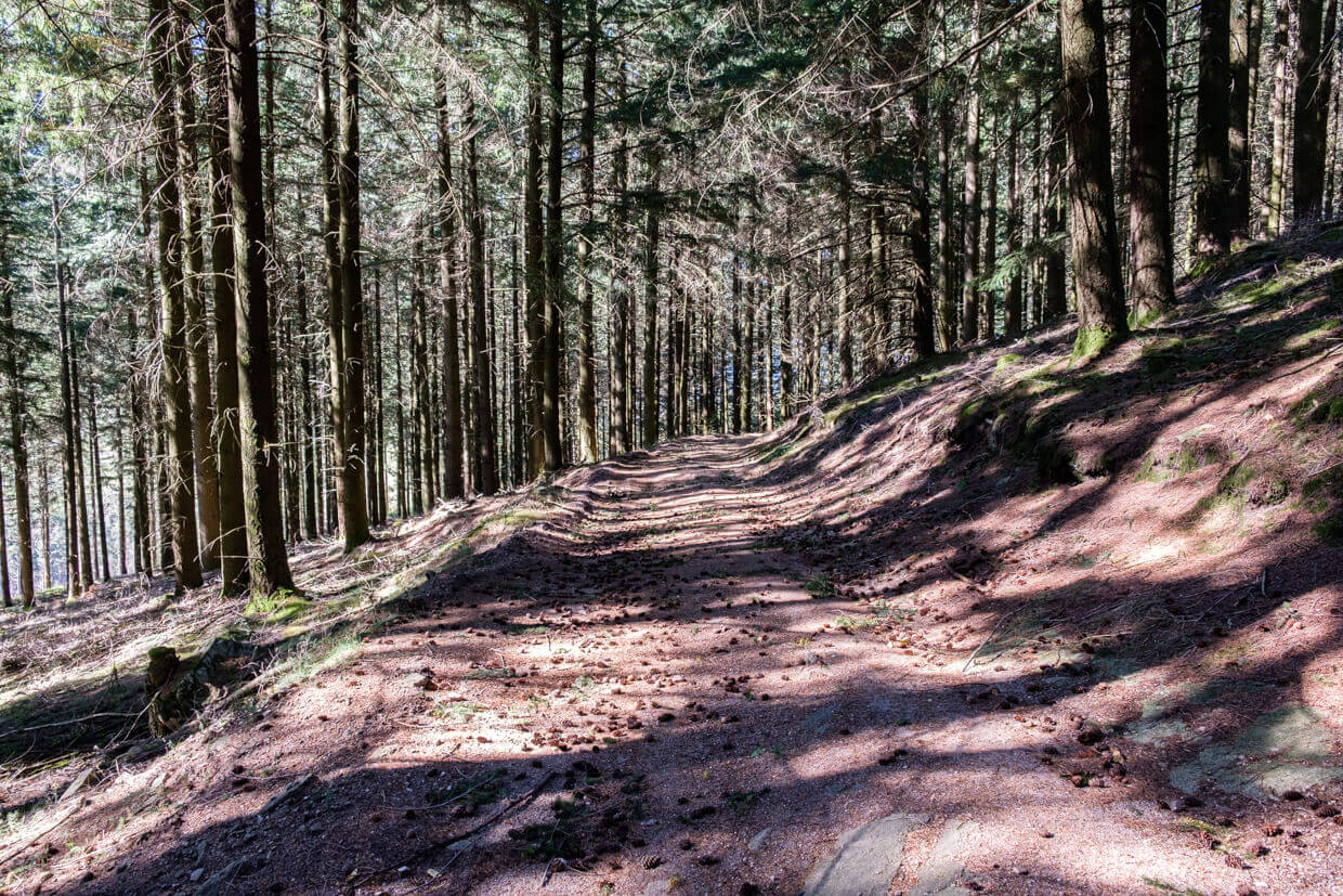
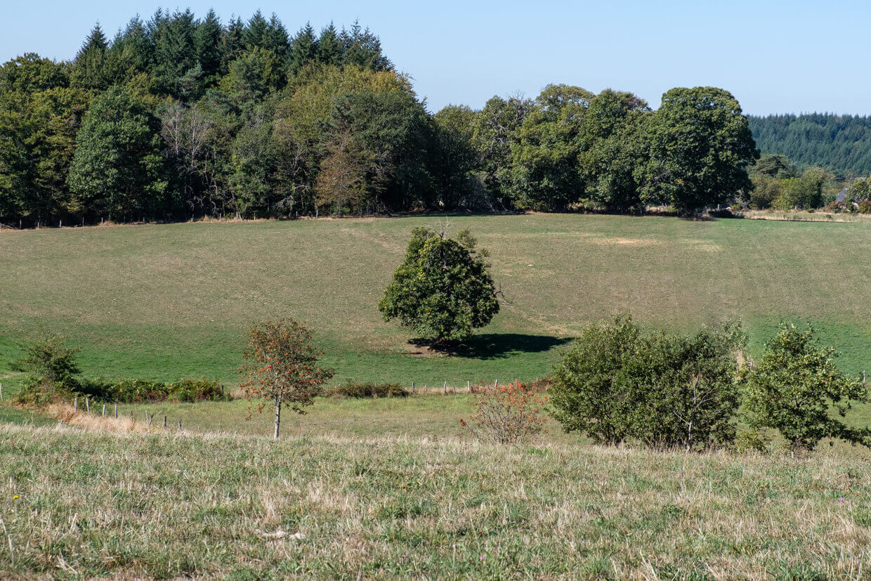
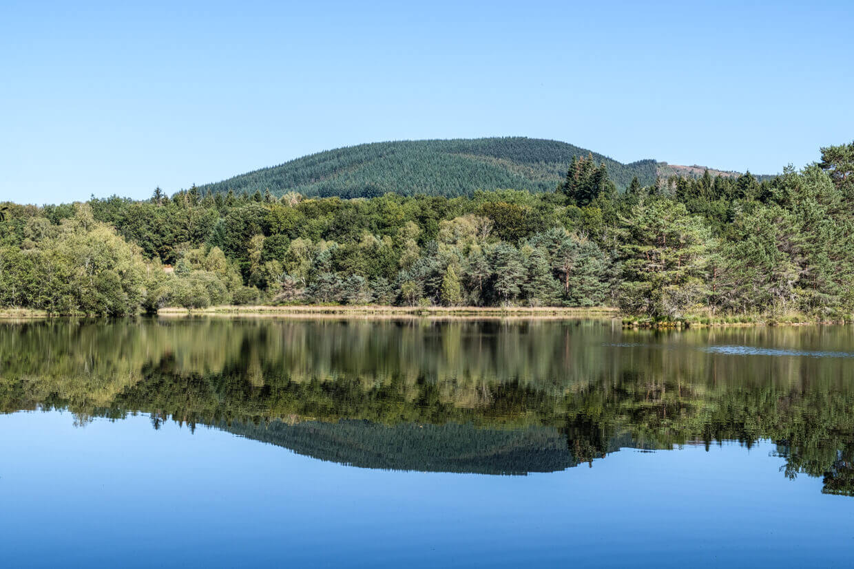
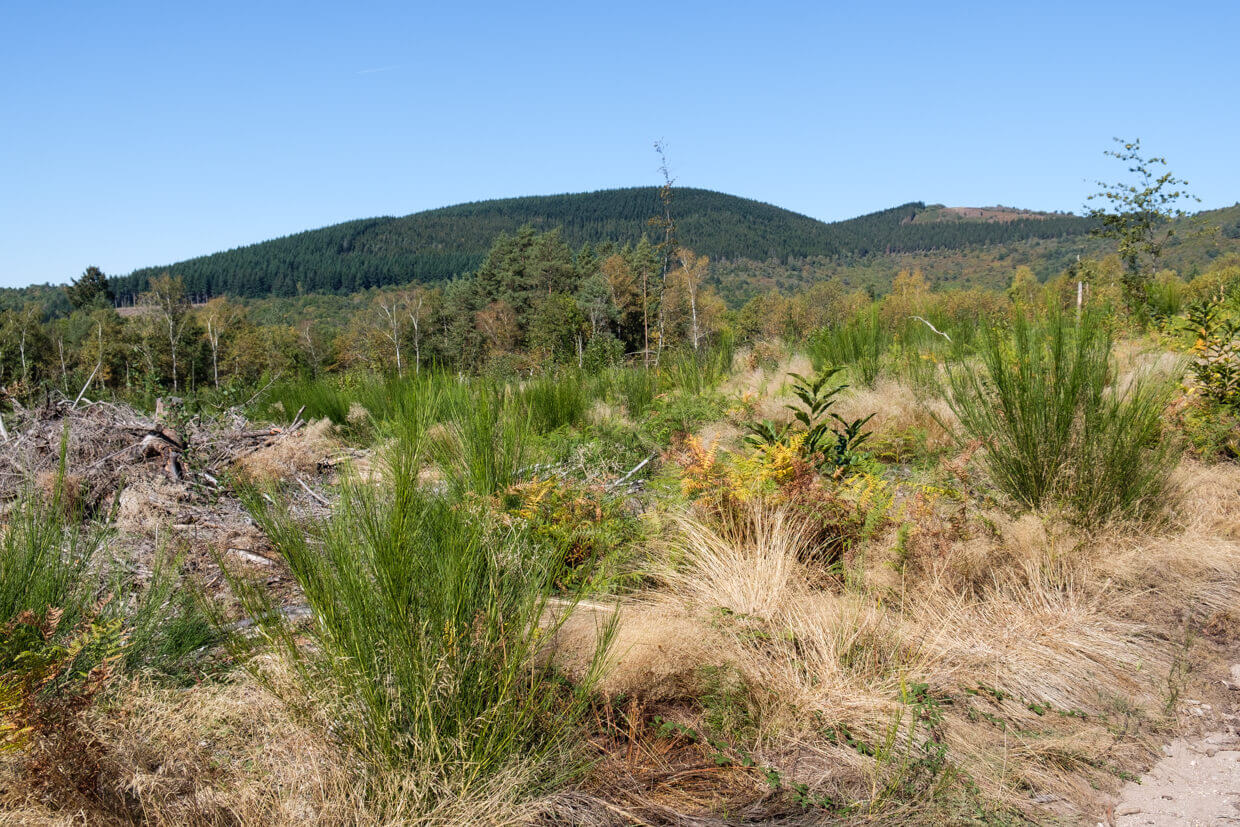
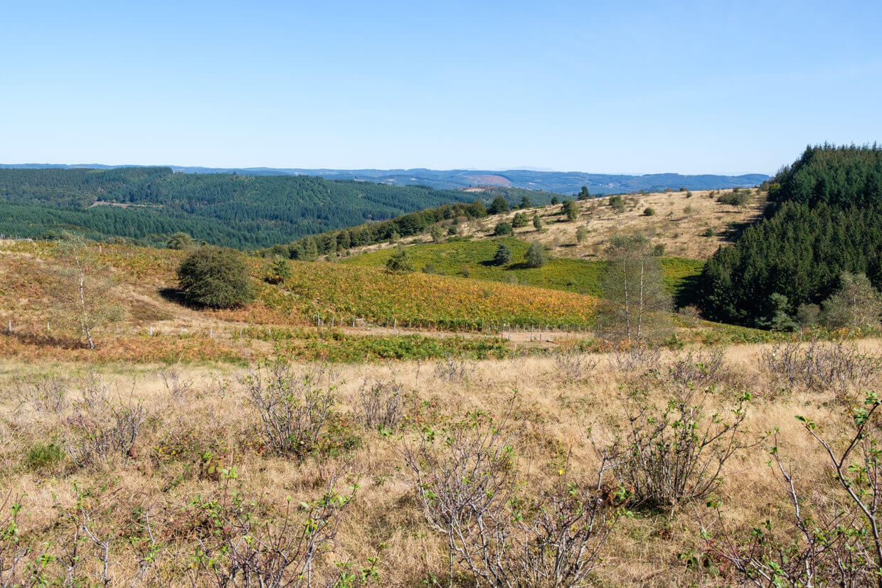
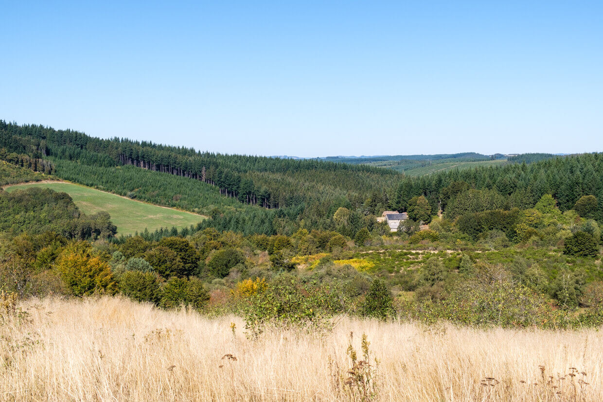
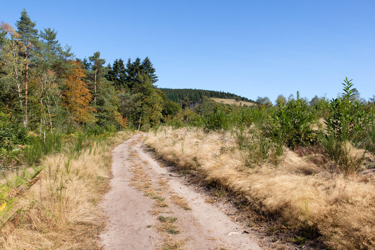
The walk leaves just below the summit of the Suc au May and goes through the forest on the flank of the puy de Chauzeix in the direction of the hamlet of Chauzeix. Along the way you have some views of the Cirque. From the hamlet it goes further in the direction of Lake Ganezande, which is in private possession. From the lake it goes in the direction of the hamlet of Beyssac and then to a rather steep climb to the starting point. After the walk you should definitely go to the viewpoint of the Suc au May to enjoy the beautiful panorama.
Download PDF for route description.
Marking is present but not always clearly visible.
POI 1 - Viewpoint Suc au May.
The Suc au May is the second highest peak in the Monédières massif, at a height of 908 meters, a panoramic table offers a magnificent view of the Monédières, the plateau of Millevaches and the mountains of the Auvergne.
No additional information.