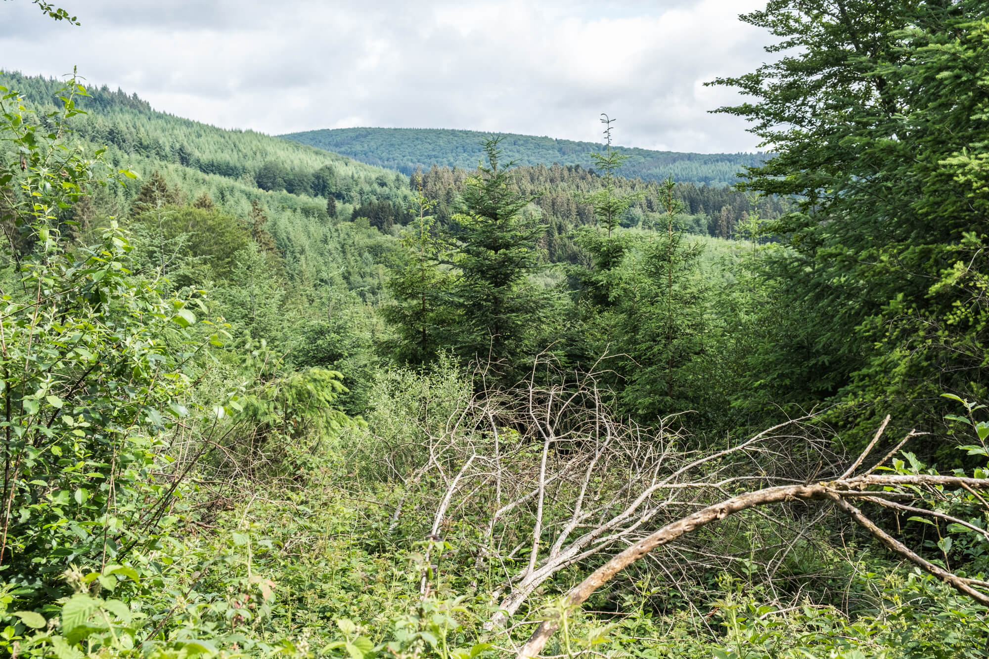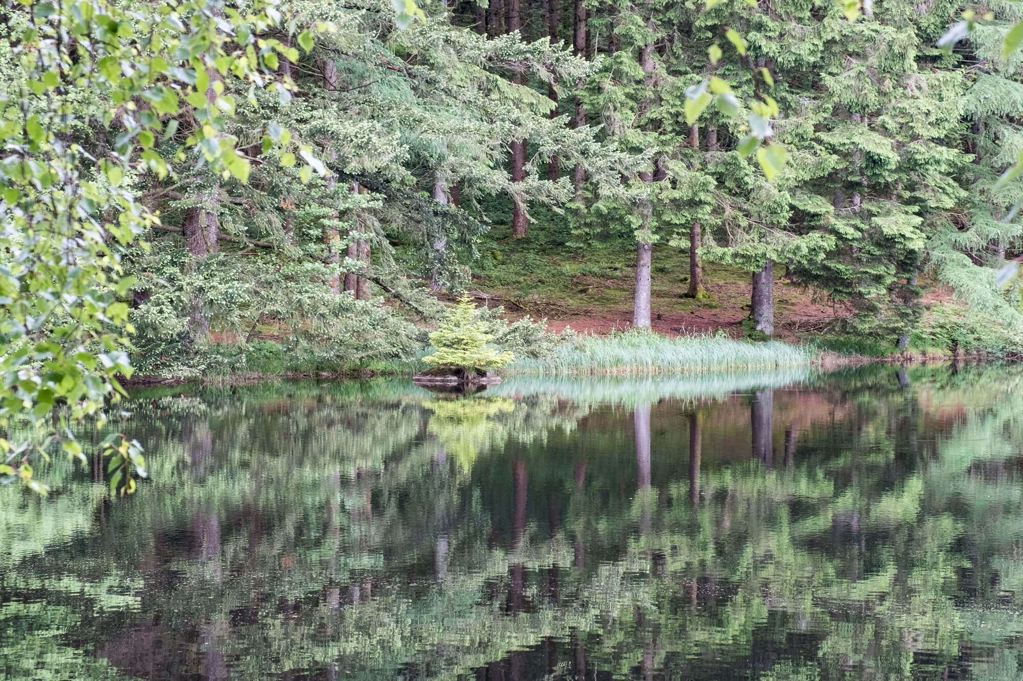
The forests around Le Haut Folin are immense, this gps walk goes from Le Croisette through the forest of Saint-Prix to the hidden lake Lac de la Goulette. Then it goes towards the beautiful hamlet of Crot Morin with some beautiful views of the Morvan.
Distance: 11 km.
Time: 3h00.
Grade: Moderate.
Type: Circular.
Gps Track: Yes.
Route description: No.
Wheelchair: Not suitable.
Dog: Allowed.
Height gain: 350 meters.
Trail: Paved and unpaved.
Marking: None.
Hiking shoes recommended.
Advertisement.
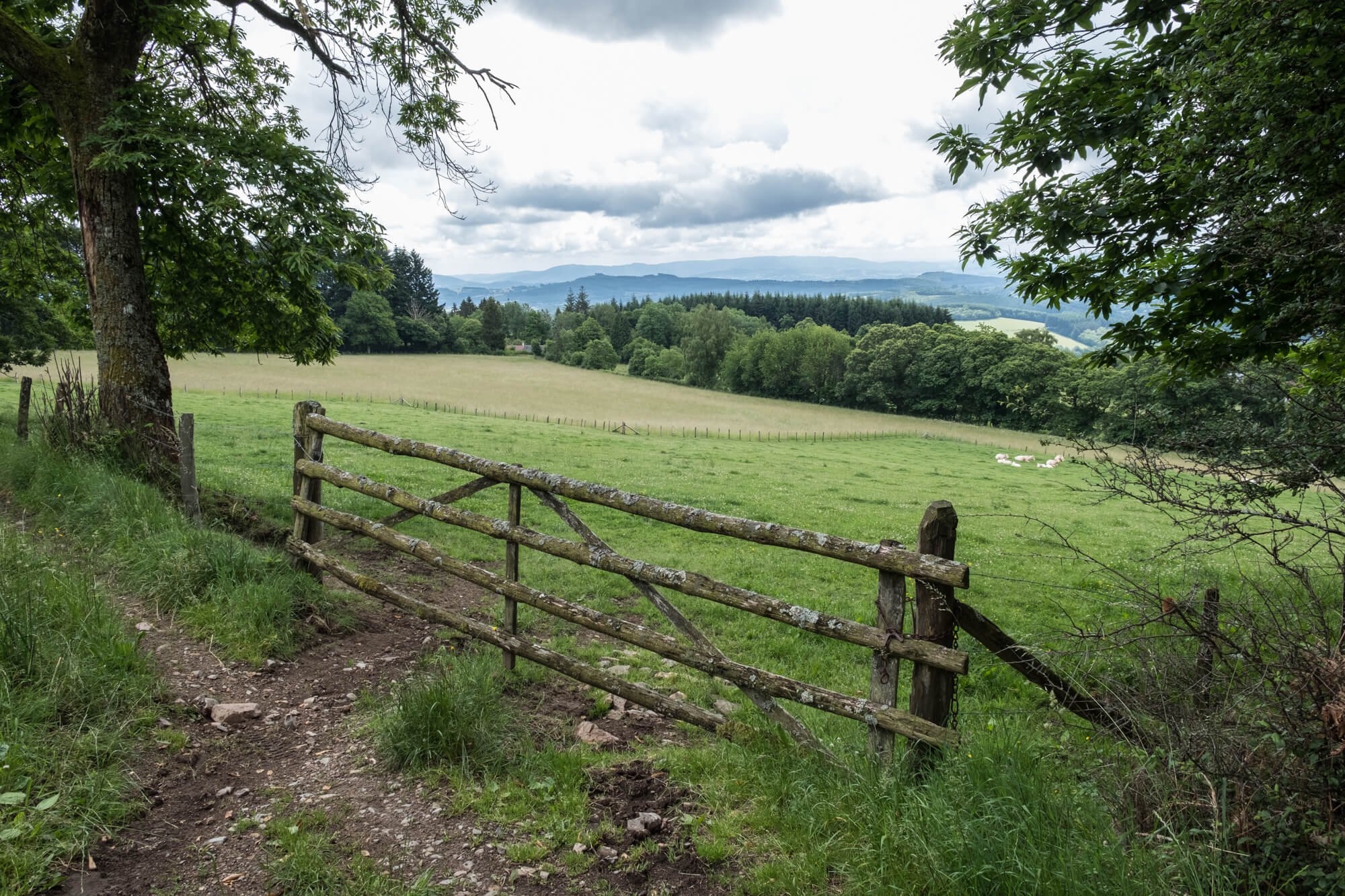
Crot Morin.
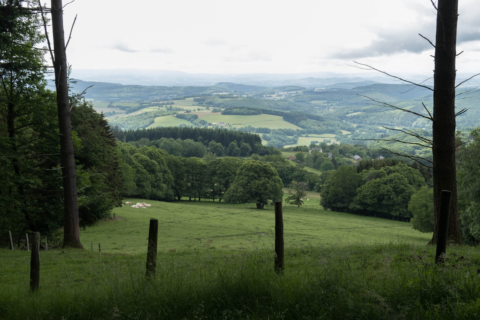
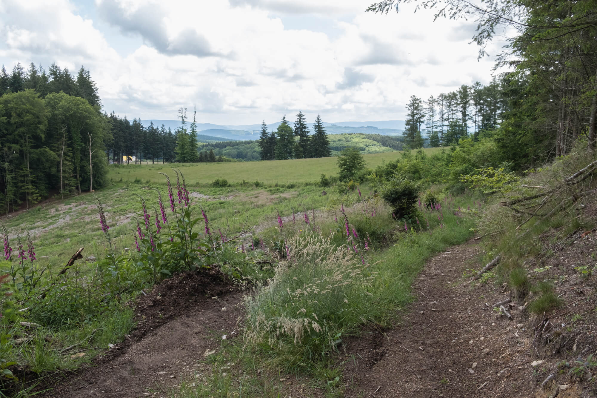
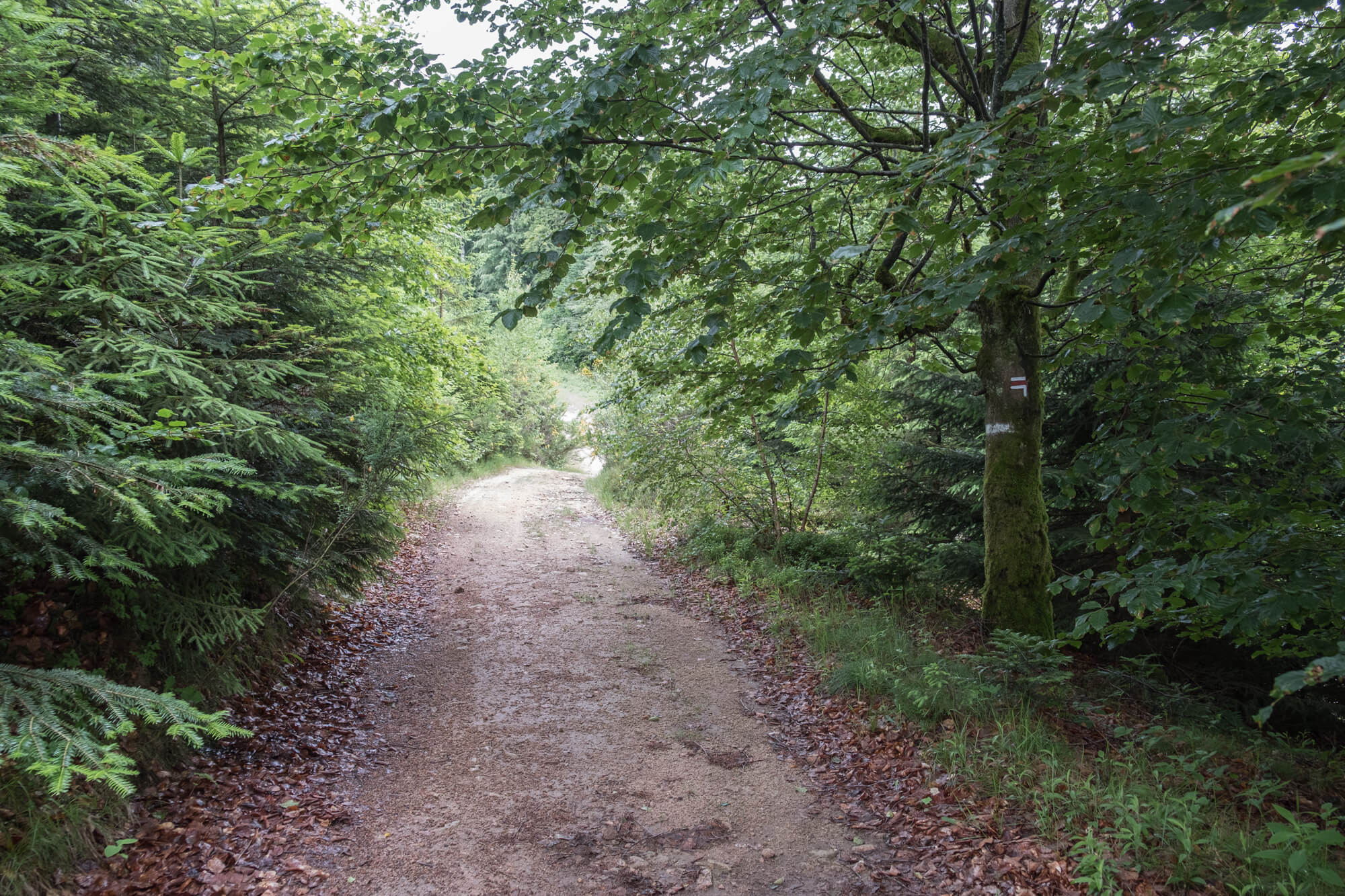
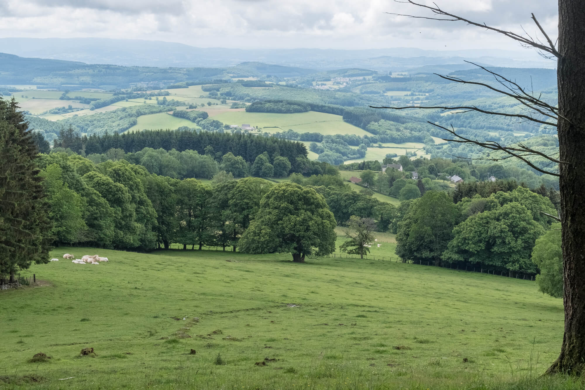
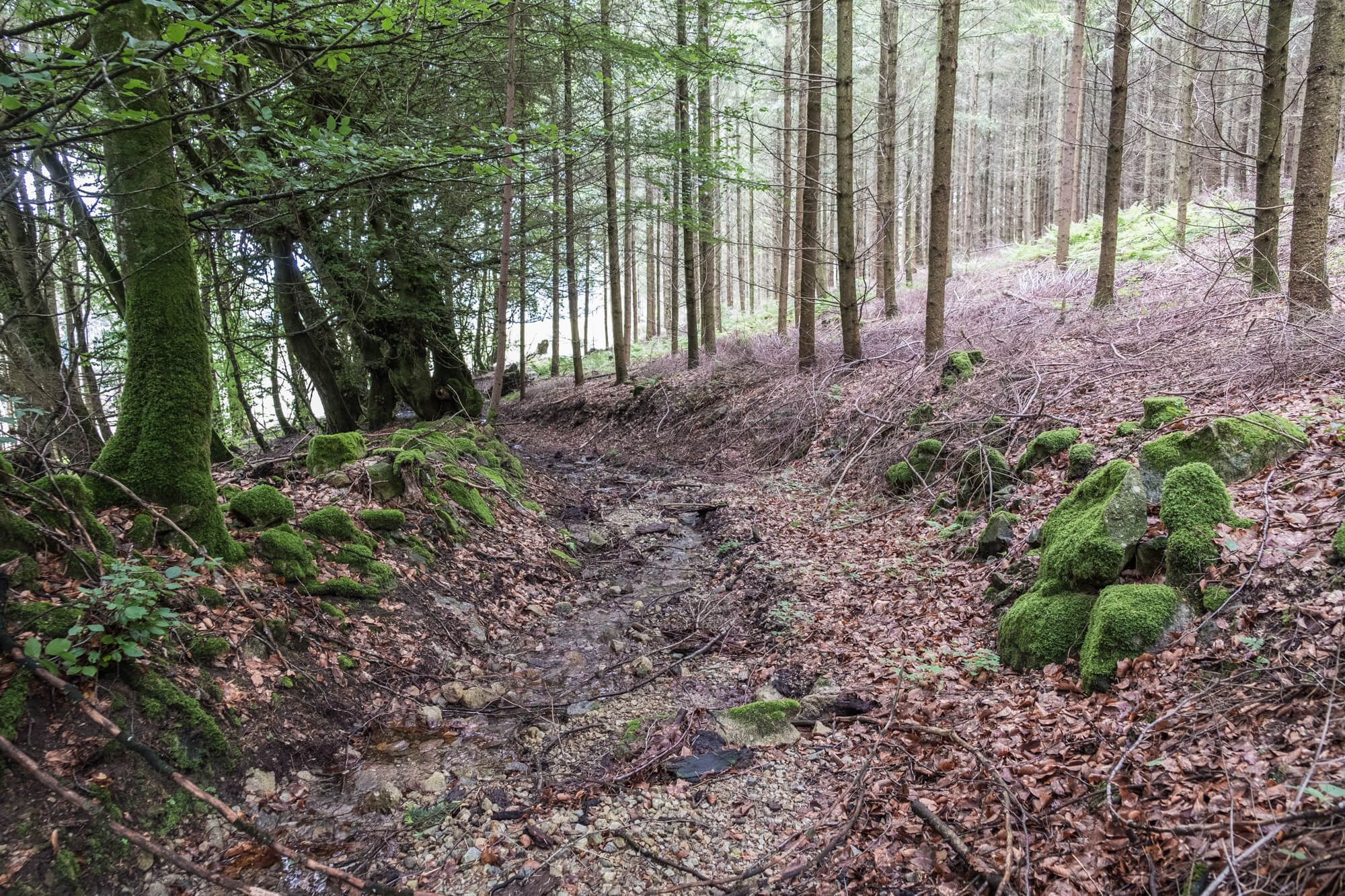
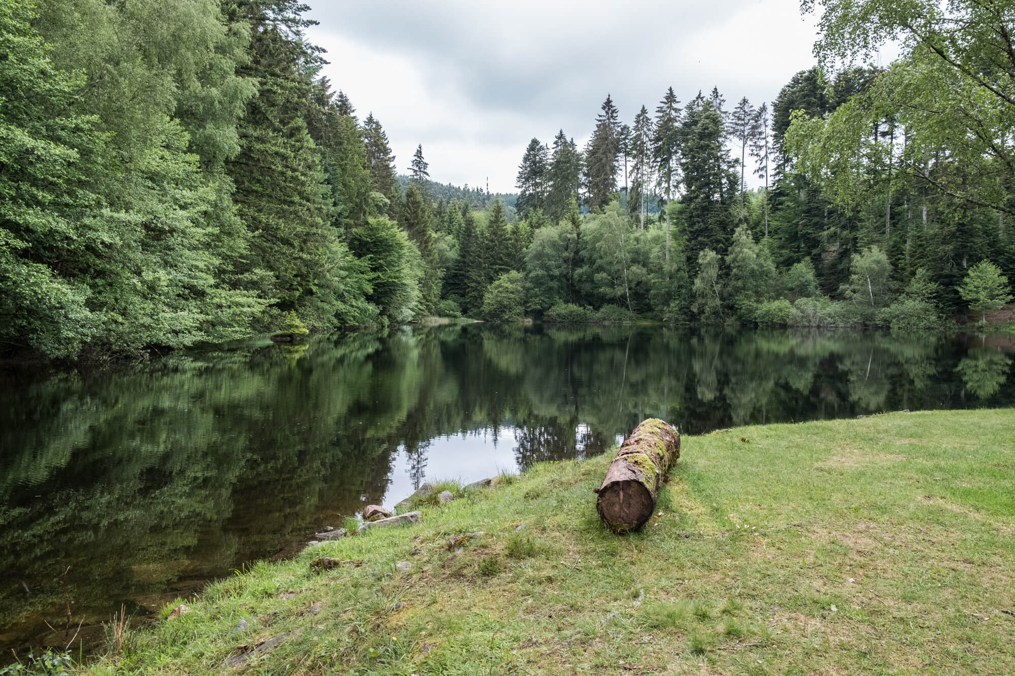
At the starting point you go directly into the forest and you soon hear only the sounds of the forest. Unexpectedly you go off the forest road and you come to the hidden Lac de la Goulette. The locals will not see many walkers here. You can walk around the lake or go directly back to the road. You continue the route through the forest and gradually begin the descent in the direction of the hamlet of Crot Morin. The landscape opens and the views of the Morvan become more numerous. Once you are through Crot Morin you start your climb back to the starting point via a nice path.
Sense of orientation needed.
POI 1 - Le Haut Folin.
The Haut-Folin is with a height of 901 meters the highest mountain of the Morvan, and thus also of Burgundy. On the west flank of the massif the river Yonne, a tributary of the Seine, rises. The Haut-Folin is thus the highest point of the river basin of the Seine. The mountain is flattened and densely wooded, so there is no question from the top of beautiful views.
No additional information.